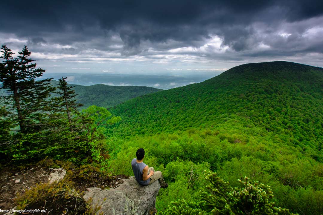
Blackhead, Black Dome, and Thomas Cole Mountains is a strenuous hike with very good views in the Catskill Mountains. The hike to the top is very strenuous and people will have to do some rock scrambling to get to the top. This is not a good hike for beginners and the parking spot is rather small as well. There are a lot of ascents and descents like in Indian and Twin mountain. Overall, the hike is very challenging but worth doing if you are ever in the area.
Blackhead, Black Dome, and Thomas Cole Mountain Important Information
Trail Map: Trail Map 1, Trail Map 2
Suggested Phone GPS Apps: Alltrails.com, Avenza Maps, Google Maps
Difficulty: Strenuous
Distance: 8 Miles
Elevation Gained: 2,200 ft
Portable Toilet At Parking: None
Trail Breakdown
Red Trail
Yellow Trail
Blue Trail
Blackhead Mountain
Black Dome Mountain
Thomas Cole Mountain
Get Back And Take Red Trail
Parking Lot
https://www.mapmyhike.com/workout/3629357761
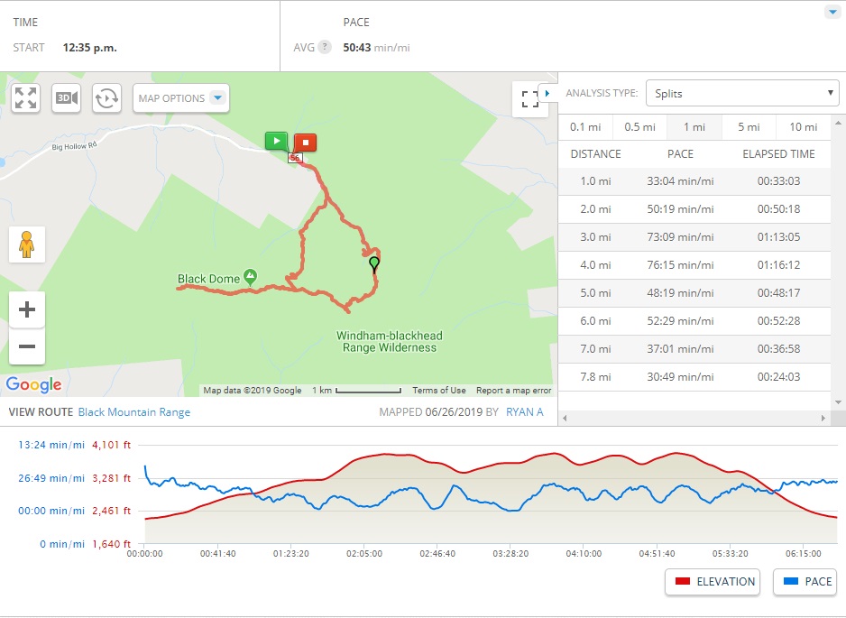
Note: The information is just an approximation.
Parking
Start Of The Hike
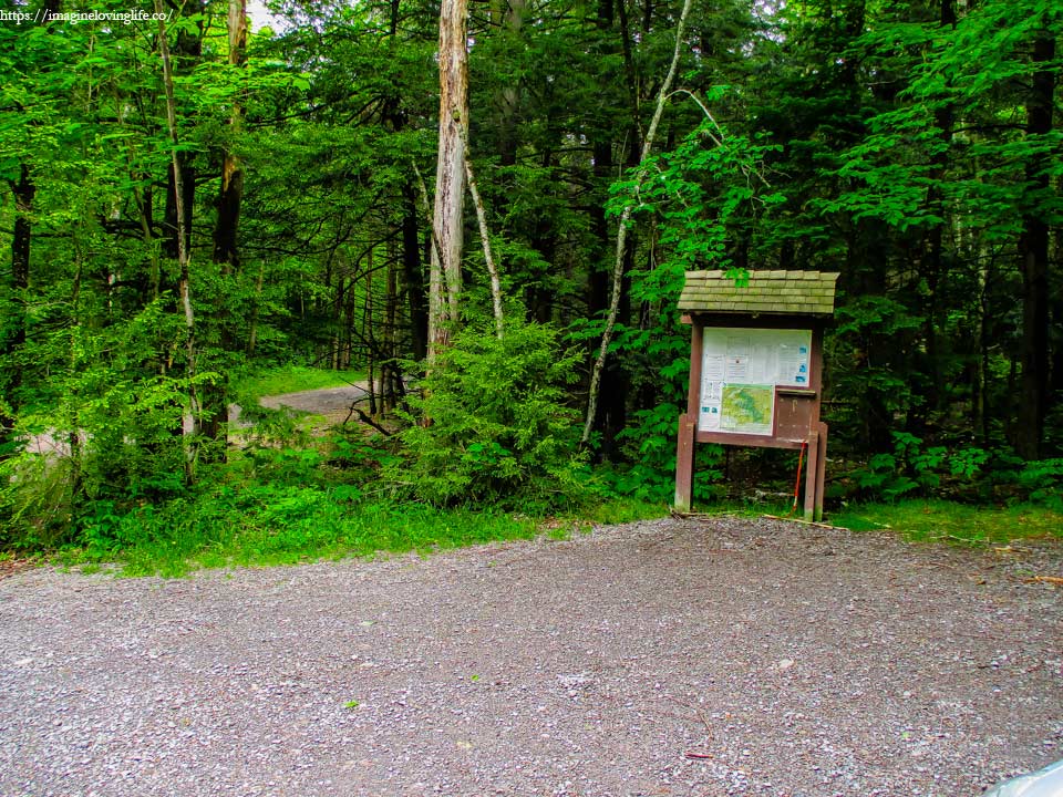
I am a hiker or so I believed myself to be. As I parked my car at a small parking lot in a very secluded area, I have come to realize that I was the only one here. Not a soul in sight, not a car could be seen. A few mosquitoes passed by my face and it dawned on me that these insects could be the reason why. Still, I believed myself to be a hiker, and what do hikers loved the most? We love to explore new areas and be one with nature.
Red Trail
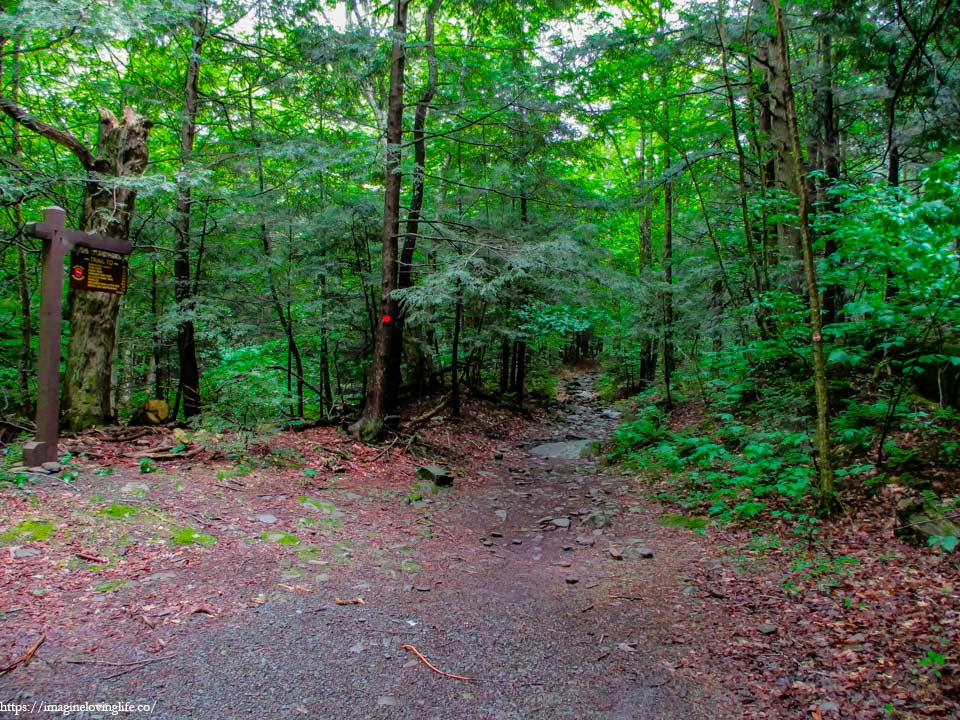
It started out with a narrow footpath that was gentle and flat, barely any elevation gain while being shaded by various tall trees on each side. The soft soil was moist but not soft, it wasn’t muddy at all and was easy to traverse. It was a cool day, a great day for a hike, as the hot morning sun was hiding behind thick dark clouds and a cool breeze could be felt coming from all directions. I walked happily deep into the forest, excited for the new adventure that was about to begin.
Bridge
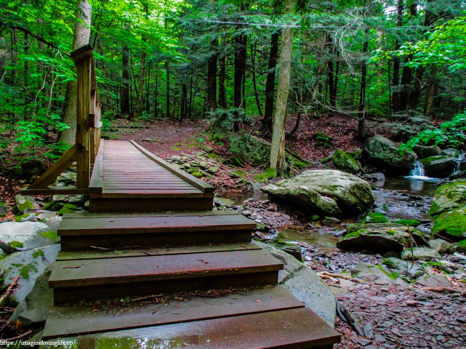
A small bridge with only one railing was on the trail. It was wet but not slippery. It felt sturdy and strong as I walked passed it. The river was small but flowing rather well. It was nice to look at but wasn’t that interesting to begin with so I moved on with my hike.
Red Trail Going Up
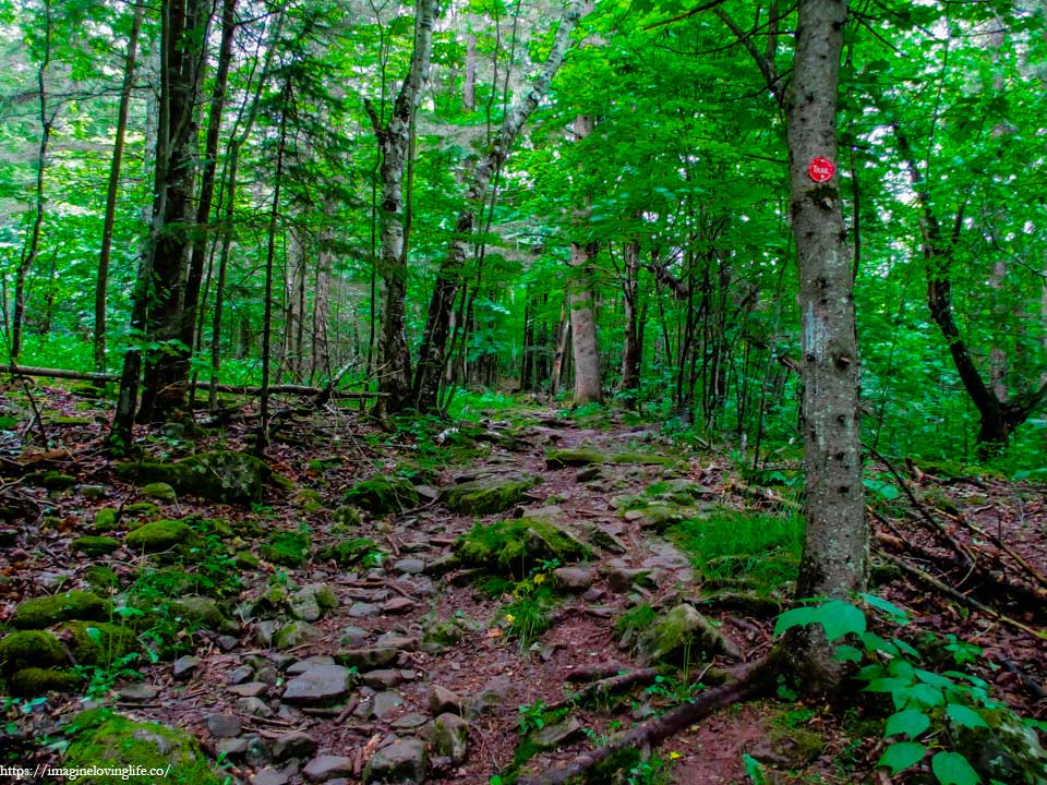
It started off as a gentle incline that soon turned very steep but I welcomed the challenge. Surprisingly, there were no mosquitoes at this part of the trail which was great as I hate those little buggers. This forest looked like the perfect place for them to thrive as well due to the wet soil with plenty of water for them to reproduce. I climbed up steadily upwards without a single bite which made the hike rather pleasant.
Intersection Sign
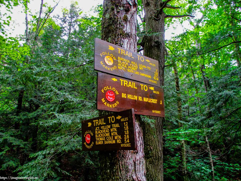
Yellow and red intersection.
Yellow Trail
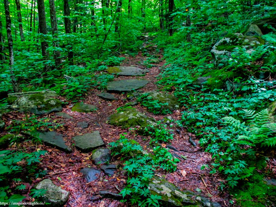
It was a steep and slippery footpath as the rocks were wet and shimmering with water which I thought was strange as the weather was rather bright and very sunny. I took my time and hiked upwards at a good pace, not too fast and not too slow either. I have plenty of time and still have lots of elevation to conquer.
Yellow Trail
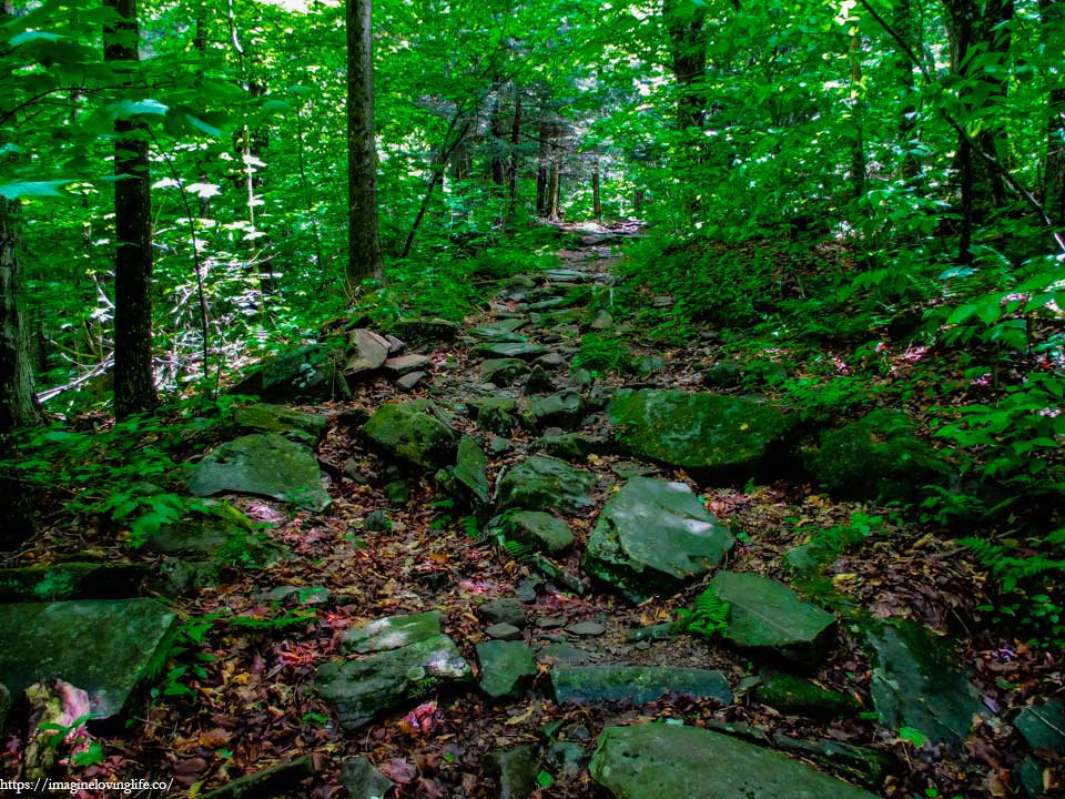
The trail was somewhat maintained and easy to follow with plenty of markers that tell people where to go. It was evident that the stones were carefully placed by human beings to mimic some sort of stairs in order for hikers to easily get up the mountain. Such placement often takes away the sense of adventure and sense of wilderness that these trails possess but this hike has a big elevation gain and any help were greatly appreciated.
Lean-To
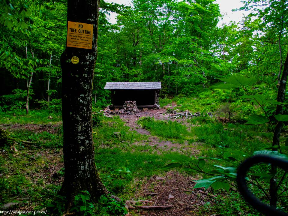
Lean-to
Blue And Yellow Intersection
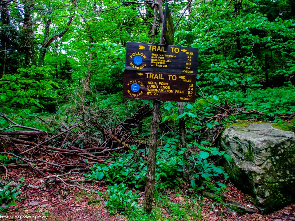
Blue and Yellow intersection
Blue Trail
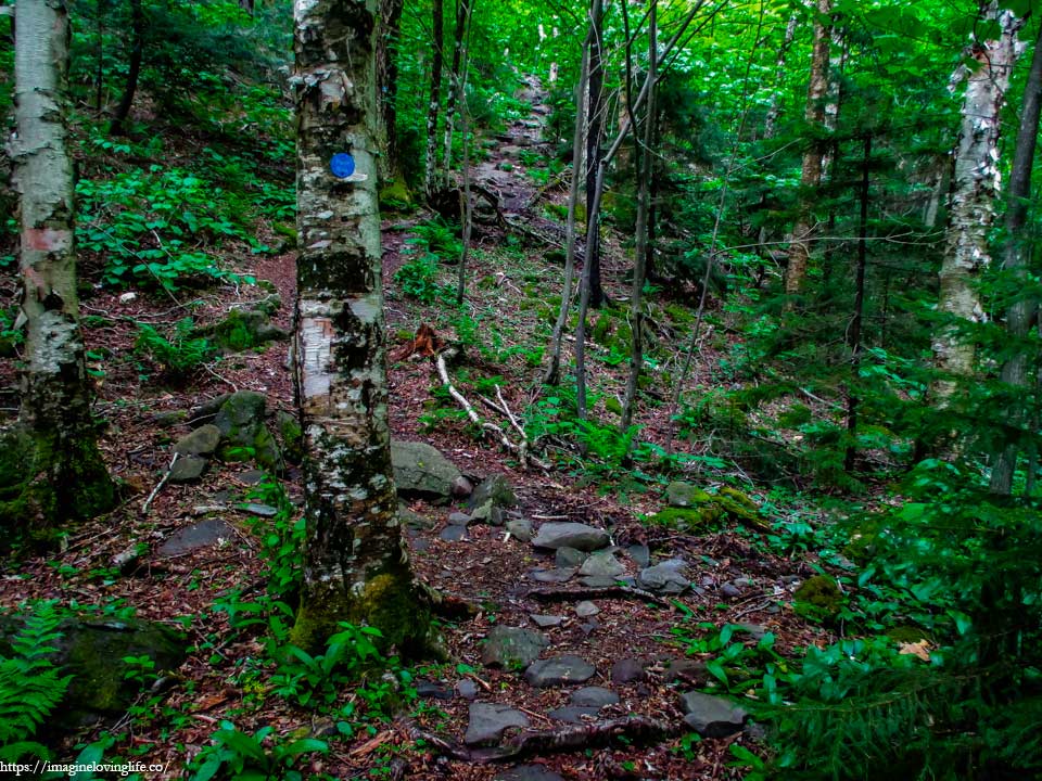
Steep and arduous, the blue trail shot straight upwards towards the top of the mountain. It was brutal, long and wild as if human beings haven’t been at this part of the forest for a long time. My pace became slow but even then, I gained tremendous amounts of elevation in just a short amount of time. This was definitely a good hike for people who were looking for something more challenging.
Blue Trail
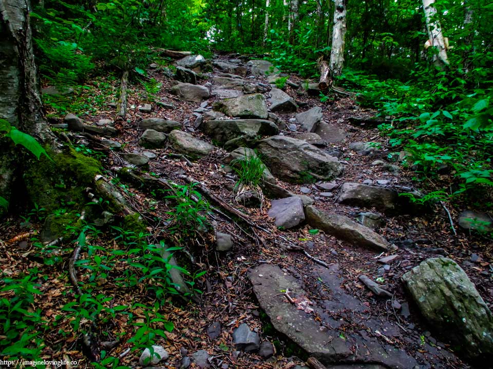
The blue trail became even harder as time progressed as the footpath became steeper while being filled with various sized boulders and rocks scattered all over the ground.
Blocked View
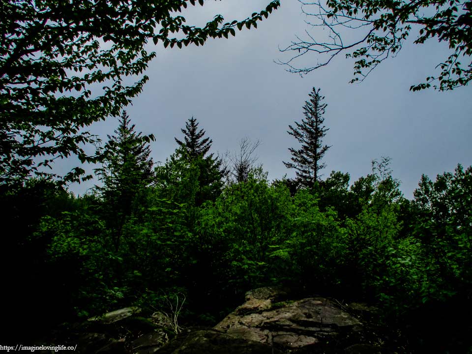
The map says a view was supposed to be here but nothing.
Blue Trail
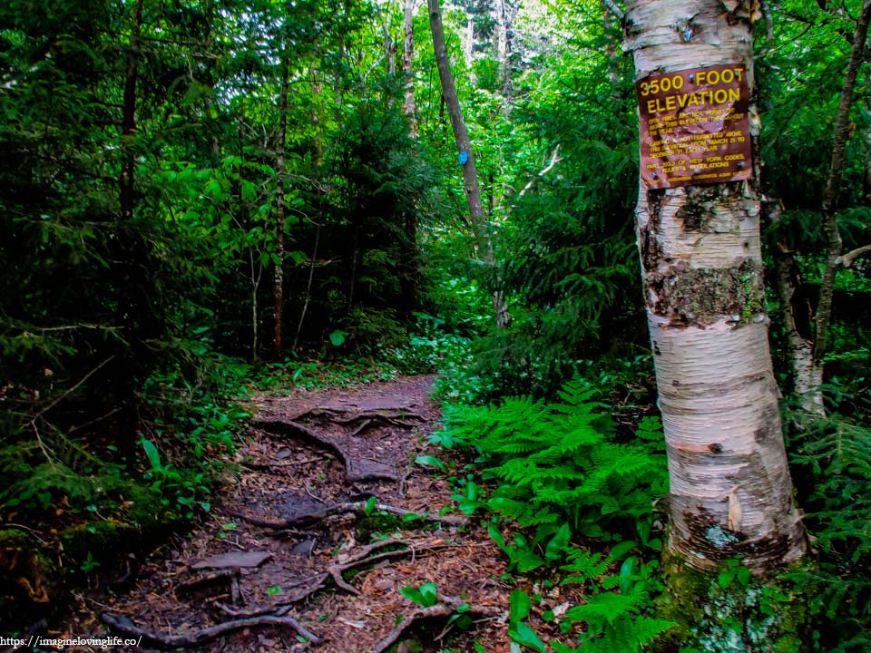
3500 foot elevation sign that often warns hikers.
Blue Trail
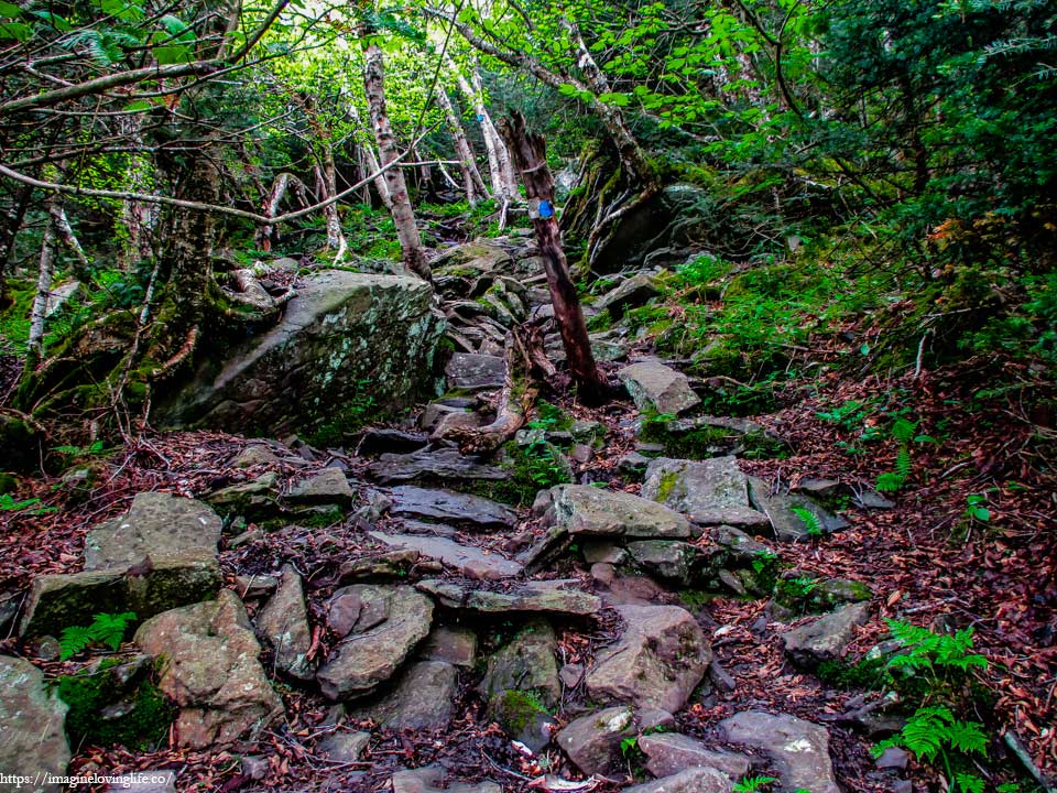
The blue trail became very steep, far steeper than I would have ever imagined. The slope was unforgiving and there was no end in sight, just a long hike upwards. I dropped on all fours, grabbed rocks to balance my body and used my legs to push myself upwards. Slowly but surely, I was moving. Trying to keep myself safe while conserving energy as well.
Blue Trail
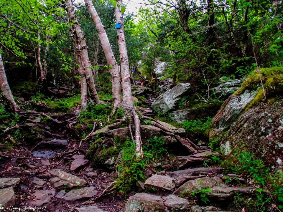
When I thought the trail couldn’t get any steeper, I was proven wrong. Rocks of varying sizes scattered through out the trail with roots from small trees spread out everywhere. It took me a minute or two to figure out how to get up as I did not want to slip nor find myself in a difficult position.
Blue Trail
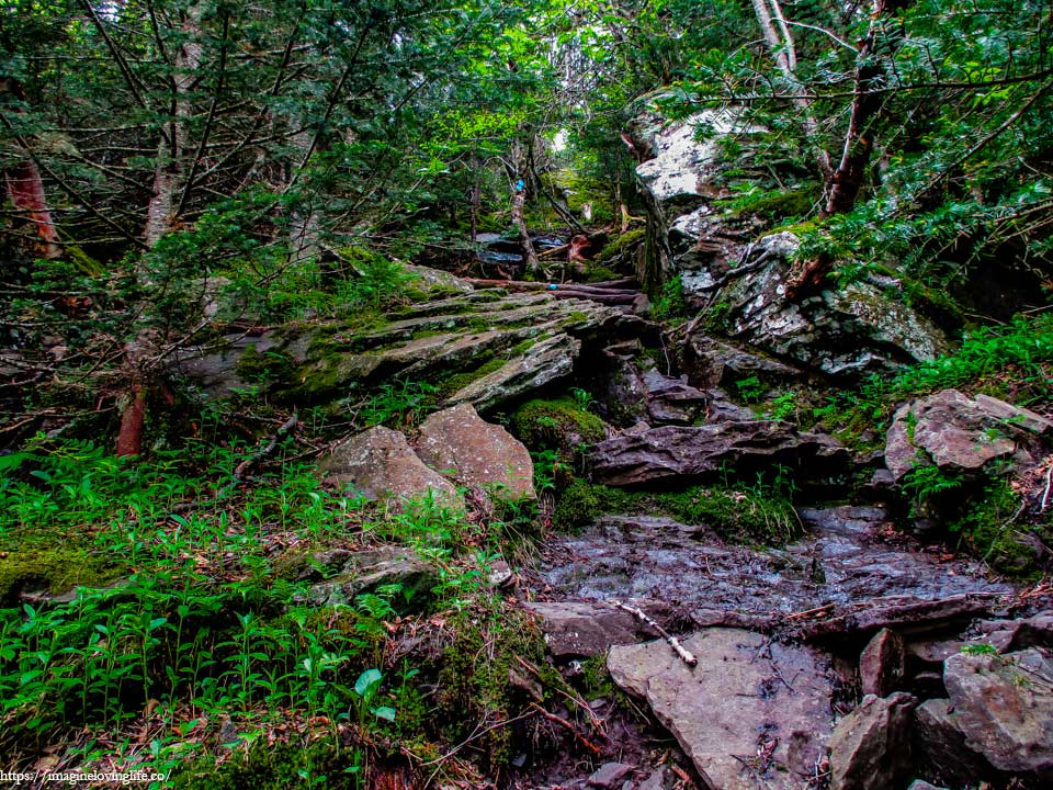
Bigger rocks greeted me the further I got up. They were wet and slippery making the hike up the mountain harder than it had to be. I took a rest to gather up my strength before continuing as the trail seemed to be getting harder and harder by the second.
Blocked View
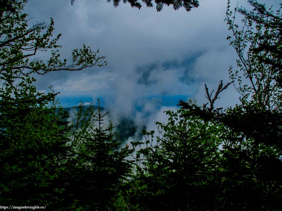
The map says there should be a view here but it was blocked by tall trees. Nice clouds or fog though. They were a little low.
Blue Trail
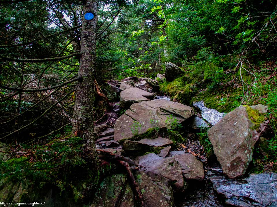
I looked at my GPS and realized that I was almost at the top. The last few steps were still very difficult so I decided to rest more. I took my time as I was not in a hurry. The forest was silent and I haven’t seen another hiker at all but I didn’t mind. I love the silence and my surroundings felt cool due to the weather that I did not mind being still and being lazy for some time.
Top Of Blue Trail
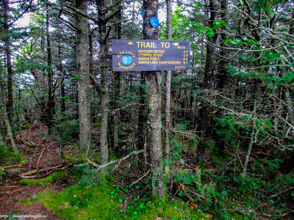
At the top, a sign could be seen.
Left Side Blocked Viewpoint
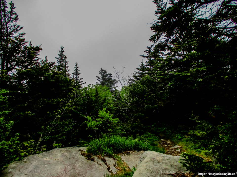
The map said that there are multiple view points to the left but I didn’t see any. Just big trees blocking the views.
Trail Sign
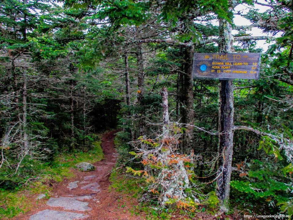
Trail Sign
Top Of Yellow Trail
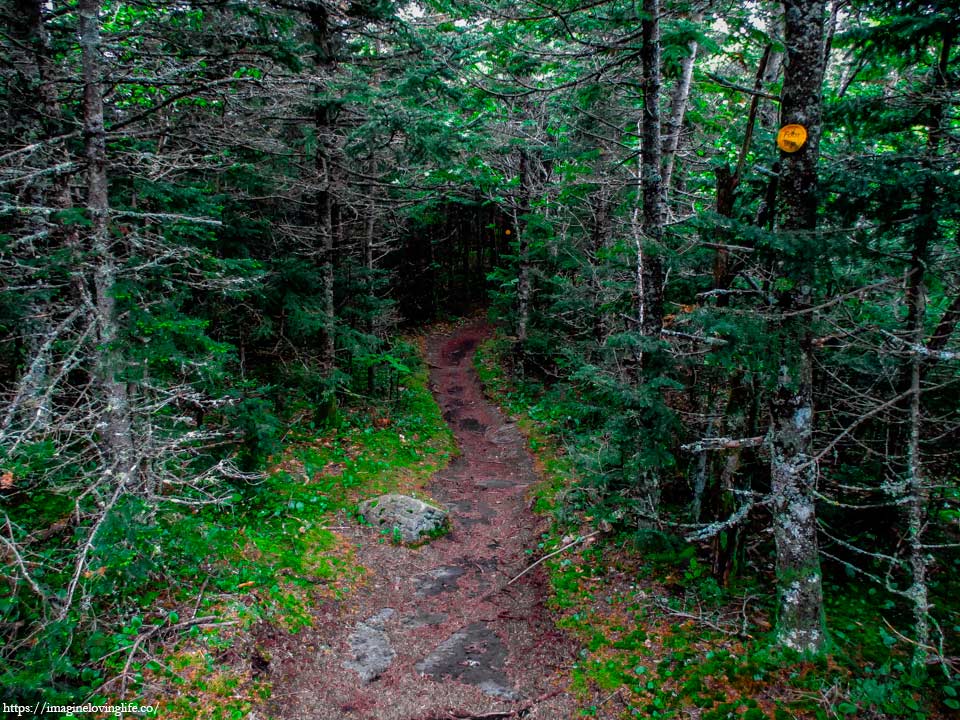
Flat and even, the yellow trail was a lot nicer compared to the blue one. The soil was reddish for some reason and no idea why. As I got deeper into the forest, I noticed a clump of feces on the footpath. They were roundish and covered in soil so they were not disgusting to look at. Fear entered my mind as more and more feces could be seen scattered through out the footpath. These could belong to a black bear as a lot of them made their home in the Catskills mountains. Still I kept going, hoping I would not meet one on my way.
Yellow Trail Descending
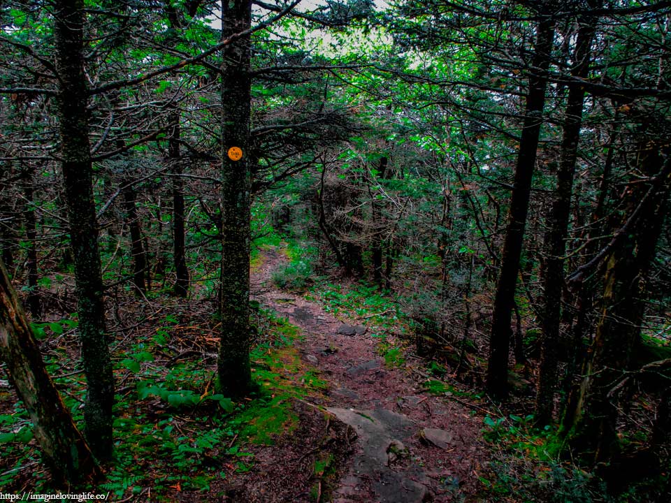
Catskills have these annoying trails where it goes down then goes up again. An up and down pattern that uses a lot of energy. I often wish the trail makers would just make it more flat. Would be nicer if they would.
Blackhead Mountain Viewpoint
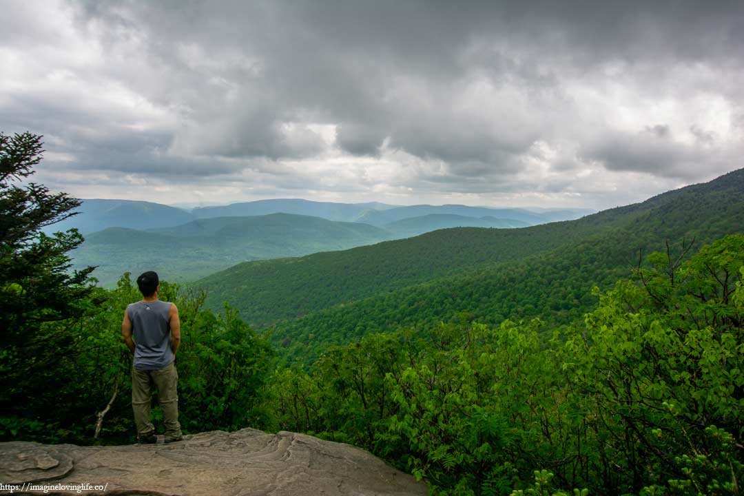
On my way downward, a small opening could be seen. It wasn’t the most beautiful viewpoint I have ever seen but it was nice. It was the first view I’ve seen in a while and looking at nature had always been relaxing to the soul.
Blackhead Mountain
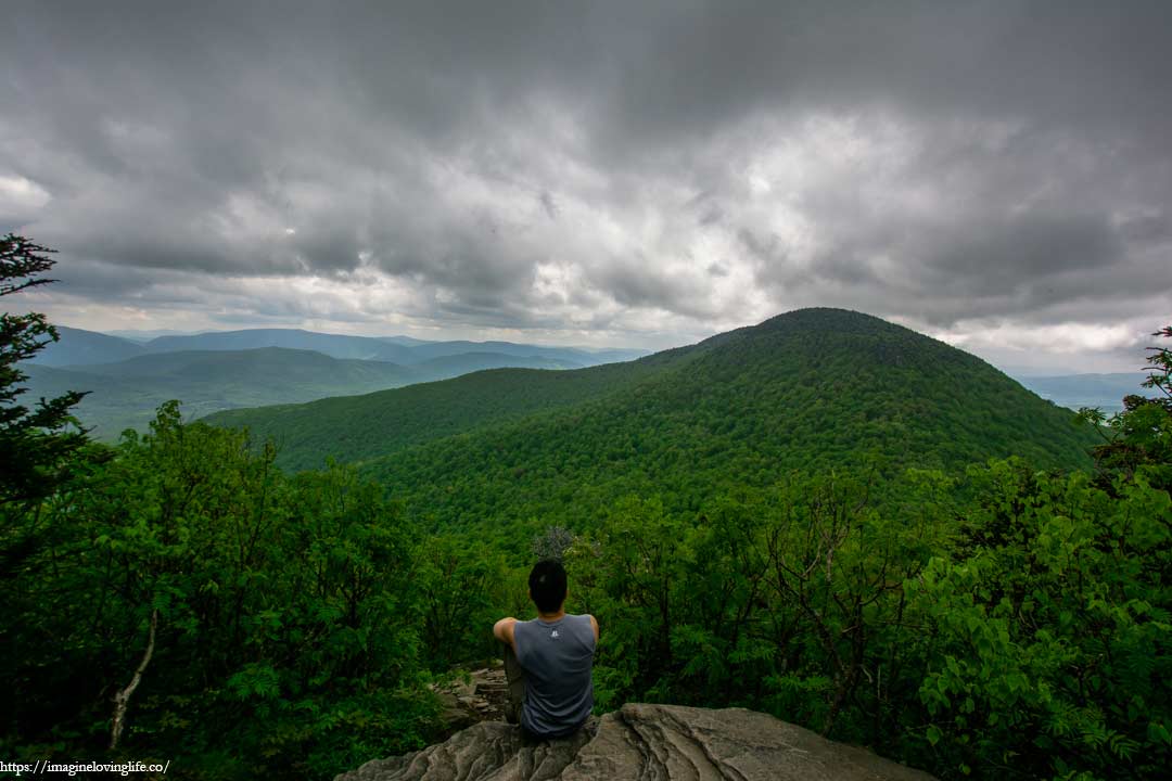
I sat quietly and just rested for a while, admiring the mountains in front of me and dark clouds hovering above. A nice gust of wind would come once in a while, cooling my body and refilling my energy. It was nice to just sit down and look at nature. Just being still and letting peace flow through me as if all my problems were fading away. As if all I had to do was enjoy this moment, right here, right now.
Yellow And Red Trail Intersection
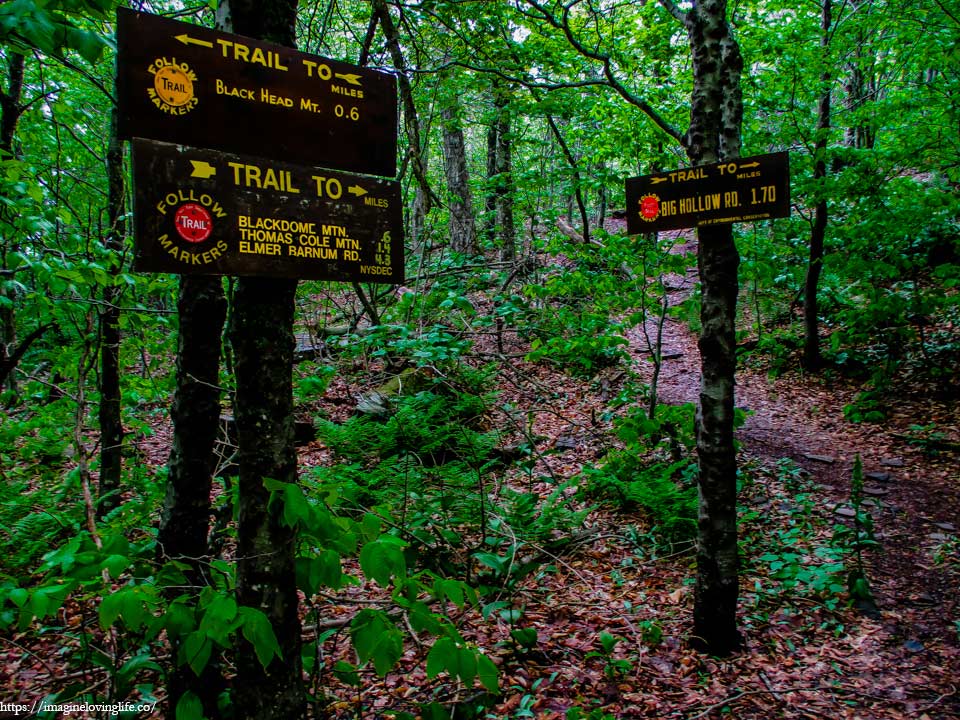
Yellow And Red Trail Intersection
Red Trail To Black Dome Mtn
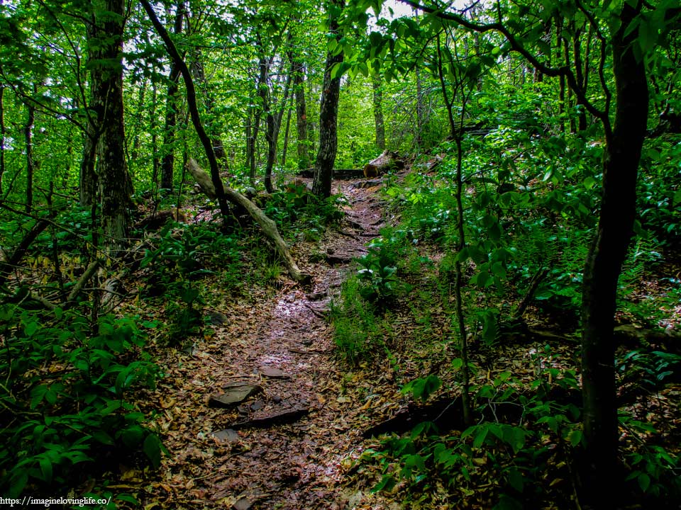
The red trail began and it was an ascending one. The slope wasn’t as bad as the blue trail and I could walk upwards without using my hands. But I could feel my energy wasting away the more time passes by. My backpack filled with camera equipment was starting to feel heavy as fatigue was slowly creeping in.
Trail To Black Dome Mountain
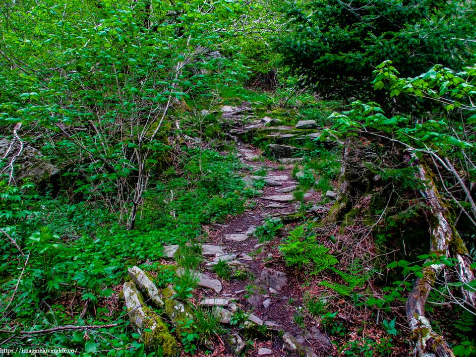
The trail was unrelenting and the only way was to go up. This part seemed well maintained. Even looked like people created steps and stairs to make it easy to go up. Still, my body did not like going down only to go up again as I felt fatigue creeping into my legs and shoulders again. I tried my best to forget all about it and just continue moving forward one step at a time.
Black Dome Mountain Views
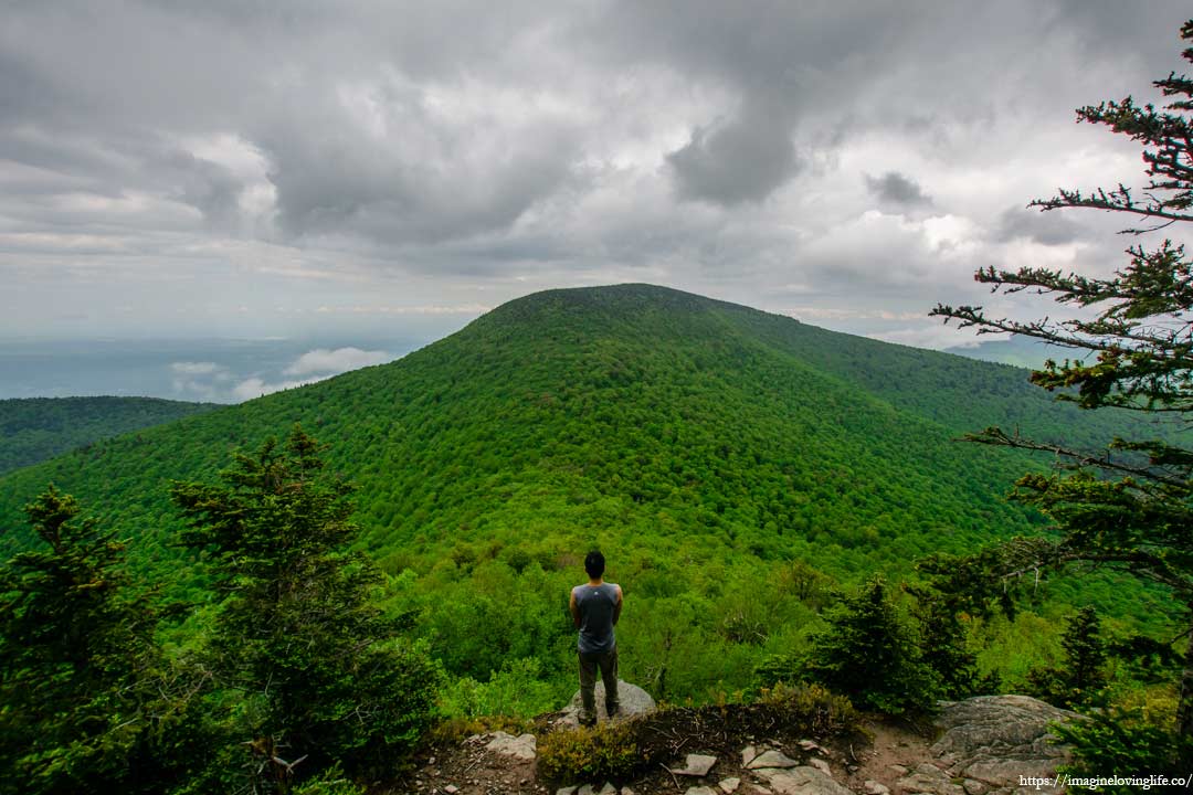
A small viewpoint could be seen at the top of the Black Dome Mountain. It was small and could only fit a few people but I did not mind as I was the only one here in this mountain. I’m almost at the end of my hike and still have not seen one soul or another hiker since I started.
Black Dome Mountain Views
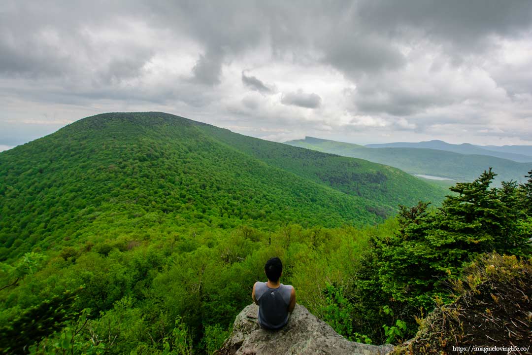
A cool summer breeze kept blowing from the endless valley in front of me, rustling the leaves and swaying the green trees of the forest back and forth. I sat near the edge of the mountain, trying to relax and just enjoy the wind cooling my body. I was all alone, enjoying the full extent of what nature could give me which was a peaceful afternoon. I sat in silence, gazing at the gray clouds and countless faded mountains in the horizon, just trying to be in this moment and enjoy it for all its worth.
Black Dome Mountain Views
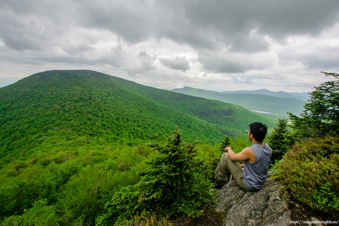
There was something beautiful about nature that speaks directly to the soul. Something that words could not fully describe and it is best felt. I took my time slowly falling in love with the scenery as if time did not exist and I could spend eternity in here. But I knew I could not stay here forever, so as my body recovered, I packed my things, and headed for the next mountain.
Red Trail To Thomas Cole Mtn
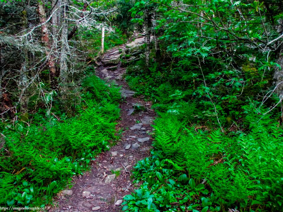
The path was another descending footpath followed by an ascending one. As much as I would love a flat trail, I have grown accustomed to such patterns by now. The narrow footpath seemed well traversed, with barely any dead leaves and looked quite clean as if lots of hikers come here often.
Red Trail To Thomas Cole Mtn
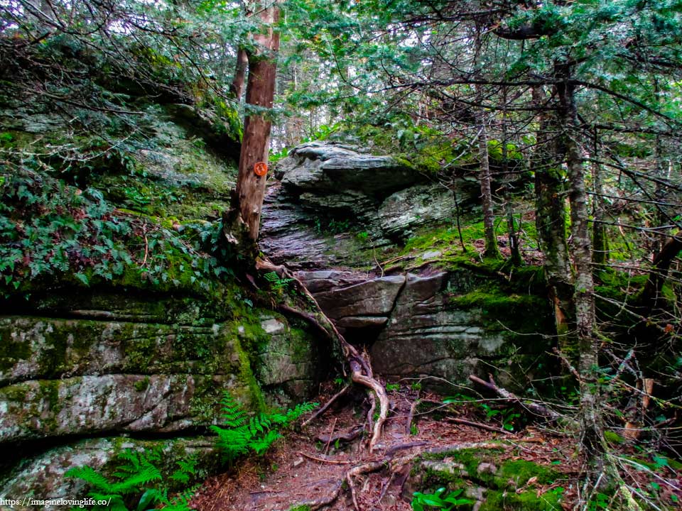
The ascent was a lot more exhausting than I thought it would be with various rock scrambles and obstacles on the way. It wasn’t just a straight walk up to the top of the mountain but a series of different trails and obstacles along the way. But this would be the last ascent on this hike and my body still have plenty of energy from resting on the viewpoint as such it was easy for me to get by.
Red Trail To Thomas Cole Mtn
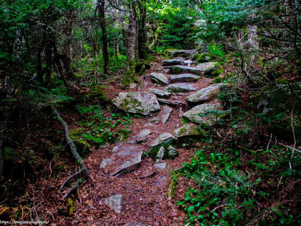
I grabbed one rock after another, pushing myself upwards, conquering one obstacle to the next. The last ascent went rather well and felt rather easy and in no time, I was near the top. The footpath became red again with various leaves and twigs scattered through out the trail. Rocks and boulders of different sizes could be seen somewhat aligned to help hikers have an easier time to get to the top. I moved rather speedily, beautifully executing my steps as if I was walking in a park rather than hiking up a mountain.
Thomas Cole Mountain
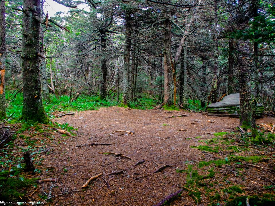
At the top of Thomas Cole Mountain was nothing. I did not find a viewpoint nor markers and no cairns to signify that I was at the top. All I found was an empty lot, devoid of rocks and spiky branches. Perhaps people used this spot to camp and spend the night since it was very clean and seemed like a perfect place to set up a tent.
Red Trail Going Back
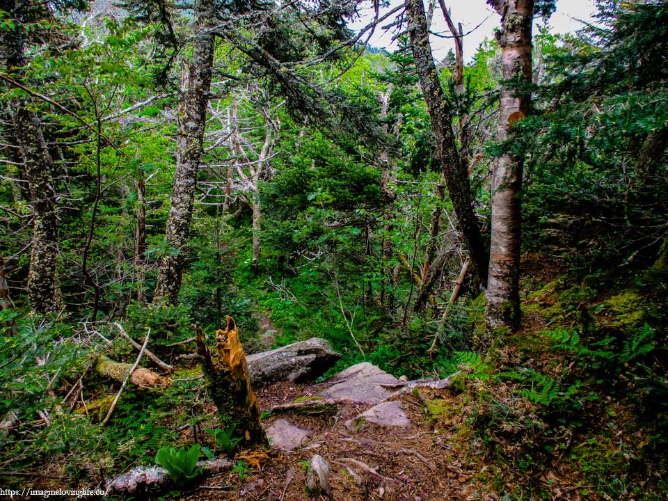
The path back down was a lot harder than going up. The obstacles before was rather easy as I was going up but now, I had to be careful as I was carrying a big backpack and hardly any outcrops to grabbed onto in order to get down. The slopes were almost vertical but they were short, I only needed a few steps in order to get down but still, these descents were not something I want to underestimate. Slowly, I went back down, making sure that my backpack doesn’t get tangled or accidentally pushed me off the edge.
Red Trail Going Back
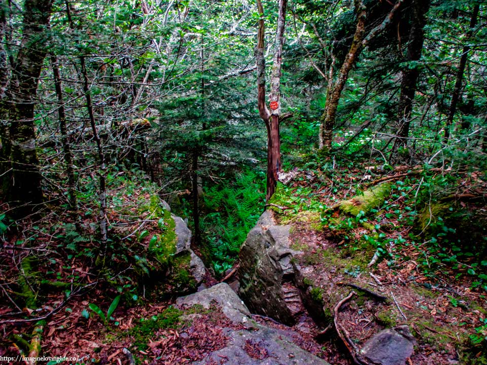
Going down was a lot slower than going up as the obstacles that I easily conquered before proved to be rather challenging as I was going down. My body was breathing heavily and my paced slowed down significantly as I made my descent towards the parking lot. But I had time in my hands and no need to hurry, I could even take a rest if I wanted to so I enjoyed the challenges in front of me and enjoyed my time on this beautiful day and on this beautiful hike.
Red Trail Descending
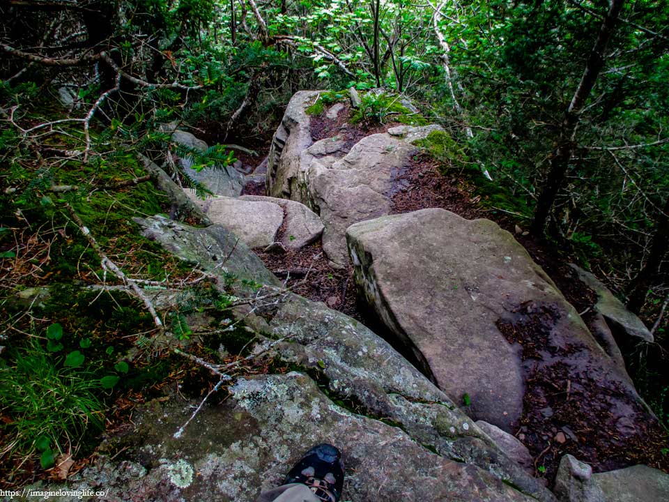
More rock scrambles.
Intersection
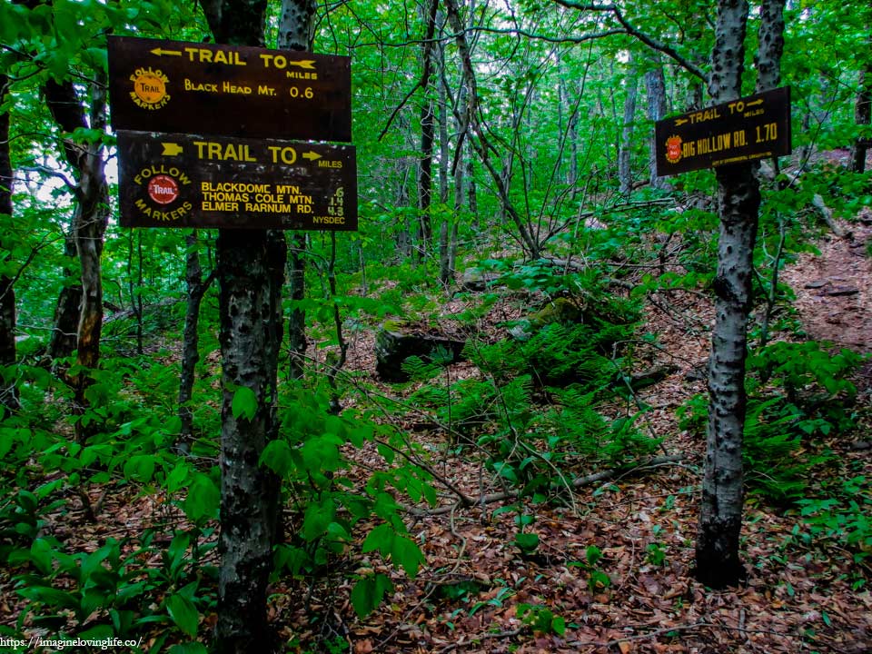
Signs At The Intersection
Red Trail To Parking Lot
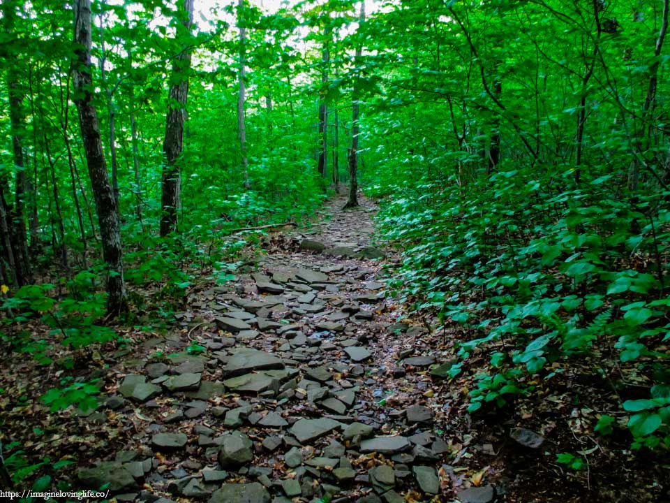
The red trail was surprisingly pleasant and easy to hike with various rocks and boulders scattered through out the trail, creating some sort of road that was easy on the legs and knees. Definitely a lot better than the blue trail that I took when I was going up.
Red And Yellow Intersection
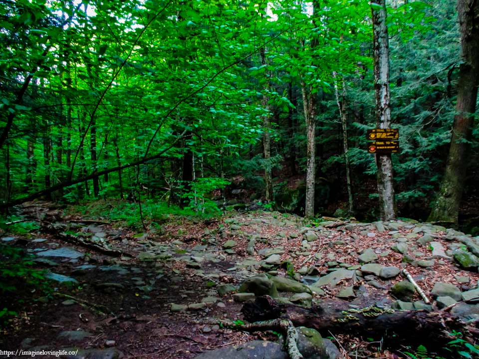
The red and yellow intersection I was in before.
Red Trail To Parking Lot
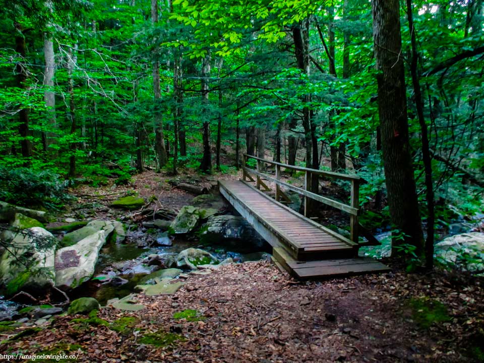
The small and narrow bridge was a sight to see, a clear indication that I was almost at the parking lot. As I was going across, a few deers came running away. It seems that I startled them and they didn’t expect a human being to be here at all.
End Of The Hike
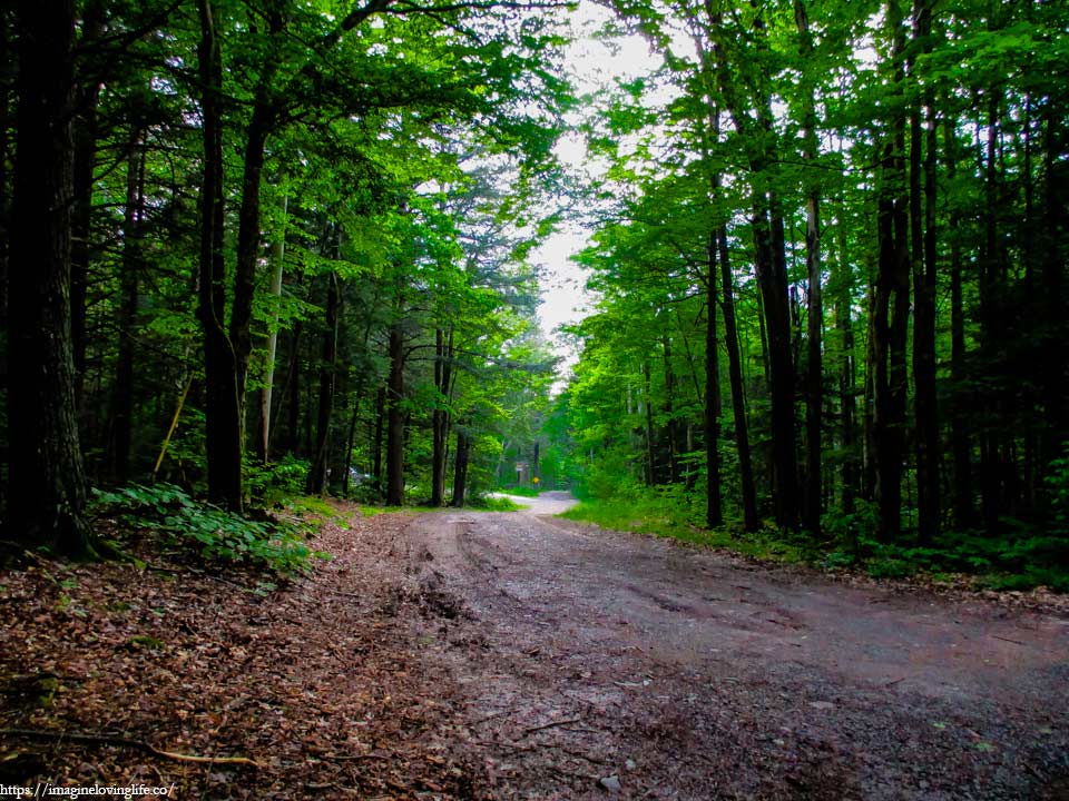
It was the end of the hike, the end of the adventure. I could see the the parking lot at the end of the forest. The light at the end of the tunnel or so to speak. My stomach growled in hunger, craving for food, craving for some sustenance. I hurriedly went to my car, looked at the map in my phone and searched for the nearest steak restaurant. Would love nothing more than a hearty and flavorful meal after a big workout and this hike was a big workout. I looked back and bid farewell to the forest and to the mountains and whispered, see you all again in the next adventure.
For more hikes similar to this one, you can go to my Best Hikes In Catskill, New York page.