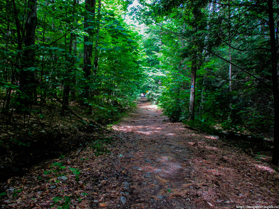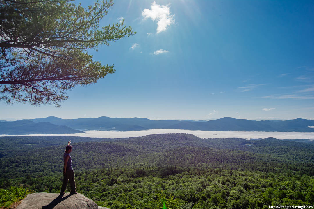
Cat and Thomas mountain hike in Lake George is a pretty good hike. It is not too hard and not too easy. There are nice viewpoints on the hike as well which makes it great for photographers. The parking lot isn’t very big and won’t be able to accommodate large groups of people and their cars. However, I don’t believe that this is very popular as I barely saw anyone on the trail and there are lots of easy and beautiful hikes near by as well.
Cat And Thomas Mountain Important Information
Trail Map: Trail Map 1
Suggested Phone GPS Apps: Alltrails.com, Avenza Maps, Google Maps
Difficulty: Moderate To Strenuous
Distance: 7.5 Miles
Elevation Gained: 1,700 ft
Portable Toilet At Parking: None
Trail Breakdown
1 Mile To Cat And Thomas Intersection
1.3 Miles To Lake
1 Miles Going Up To Intersection
0.5 To Cat Mountain
2.1 Miles To Thomas Mountain
0.6 Miles To Intersection
1 Mile To Parking Lot
Note: The information is just an approximation.
Parking
Start Of The Hike
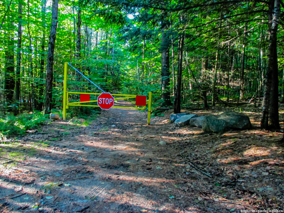
Some hiking trails were meant to be hiked during the colder months and this place was no different. This place had every hikers worst nightmare, a swarm of mosquitoes that would not leave people alone. I could not breathe with my mouth, I could not talk, I could not do anything as the swarm of mosquitoes buzz around my face the moment I got here.
Blue Trail
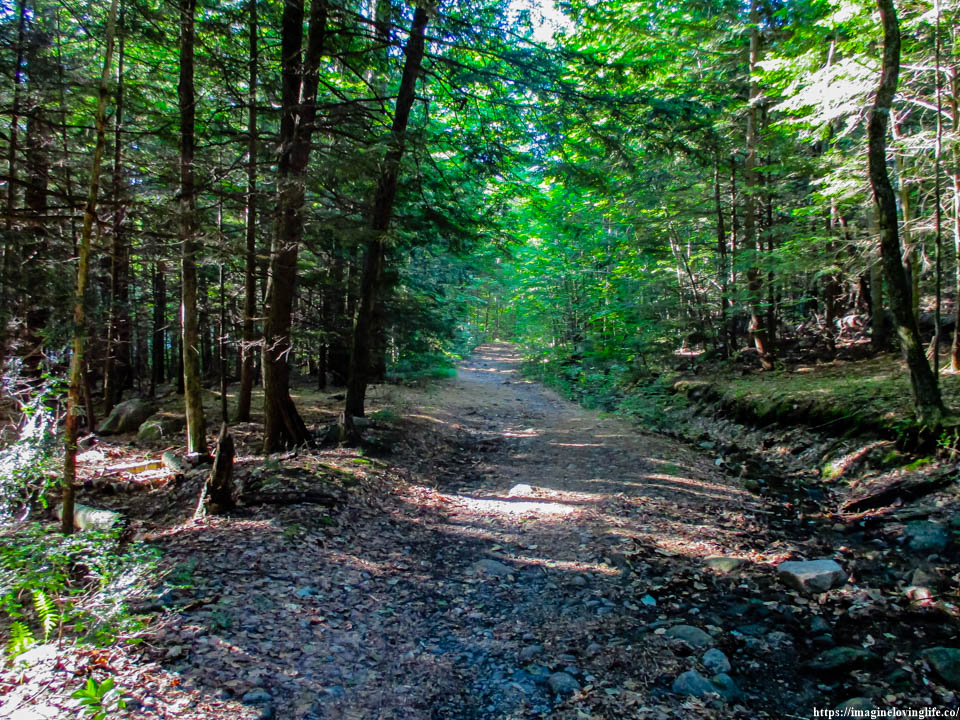
Blue Trail
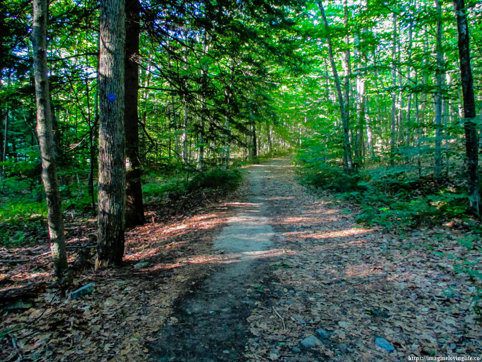
Blue Trail
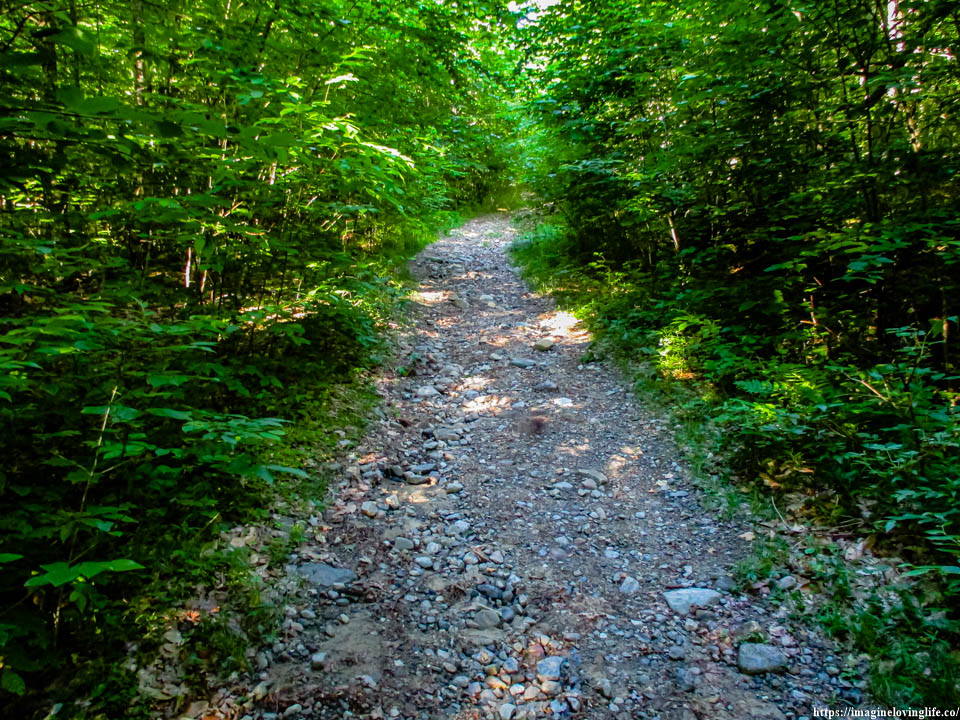
Blue Trail Opening
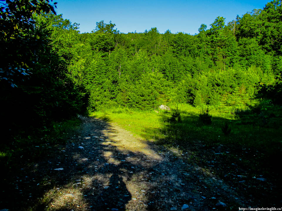
Intersection
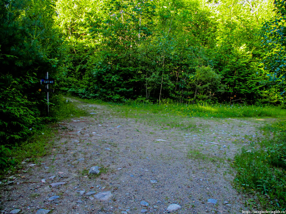
Went Straight
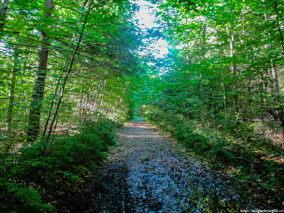
Muddy Trail
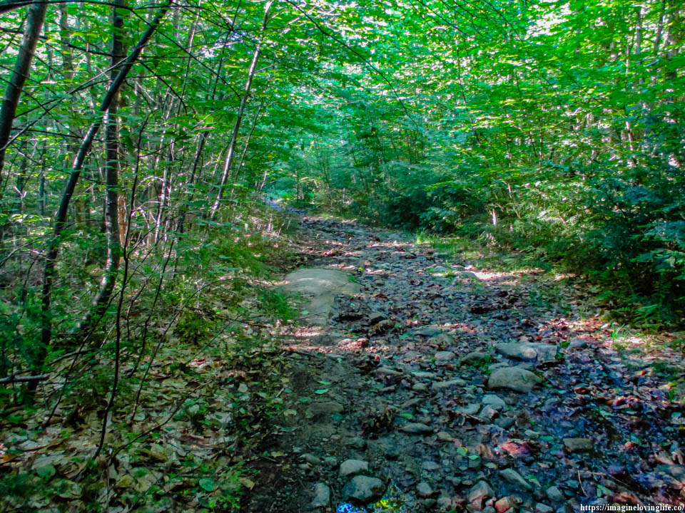
Lake
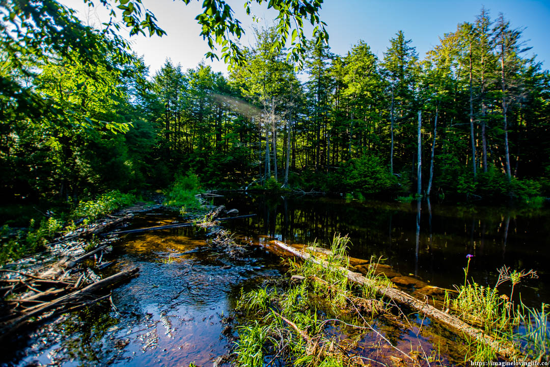
Lake
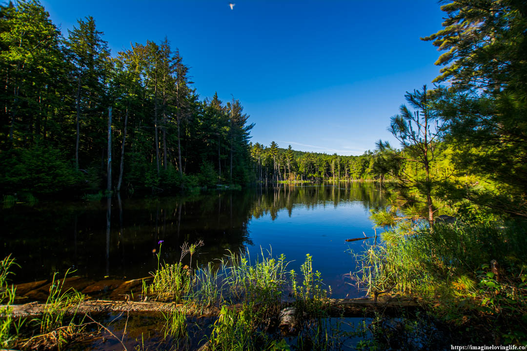
Went Right
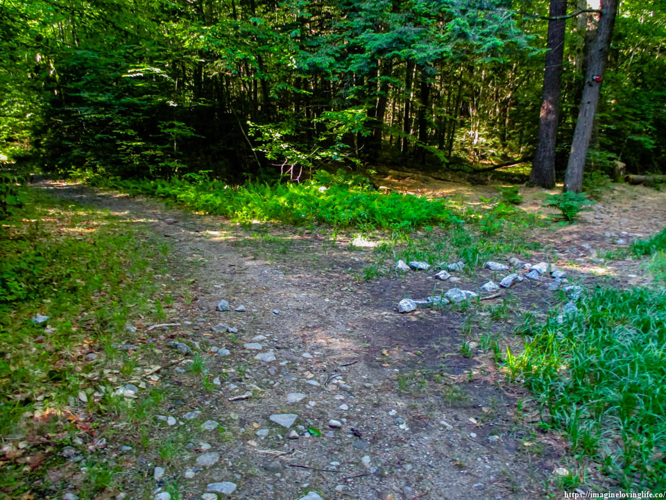
Blue Trail Ascending
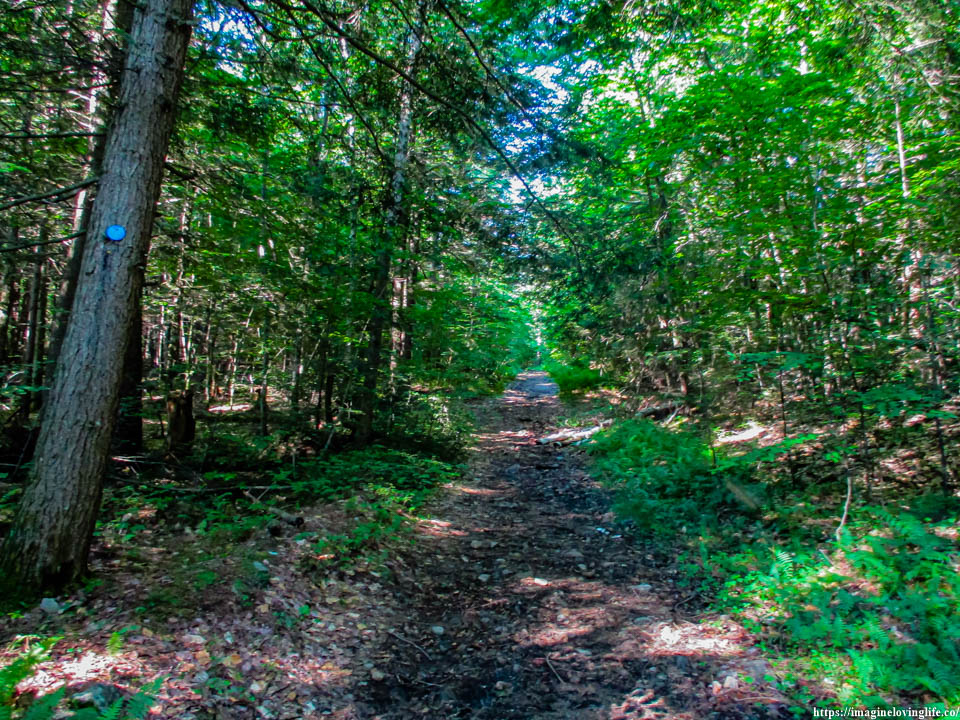
It was the start of the ascent as the flat footpath was gone. All that was left was this black footpath that was going upwards. To my surprise, the mosquitoes dwindled down by a lot at this point in time. There were hardly any as I kept going up as I followed the blue markers.
Orange Red Lizards
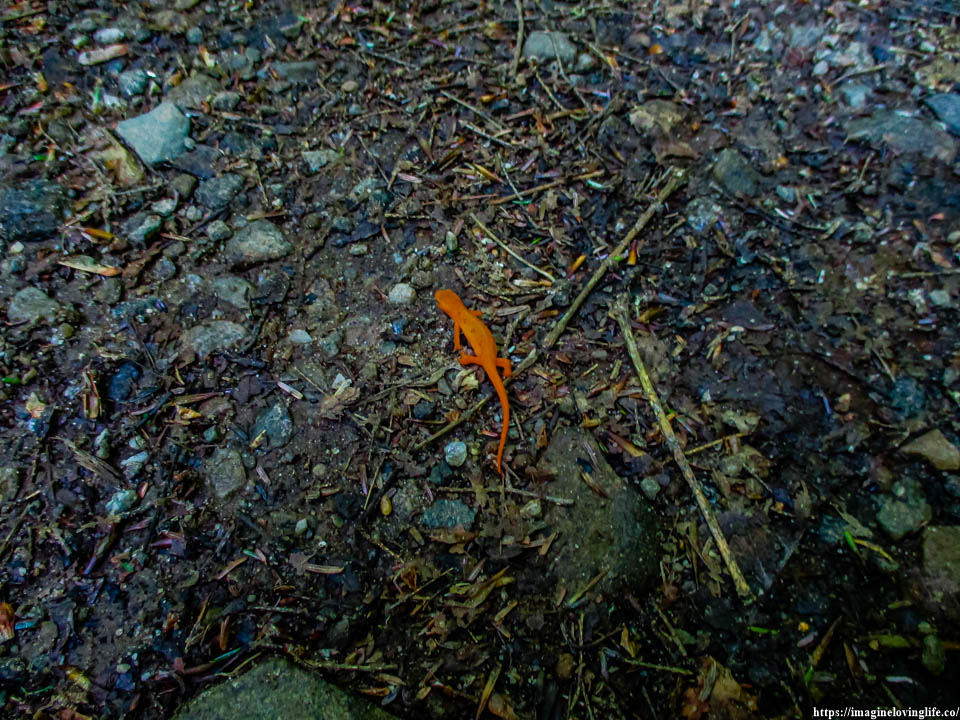
There were a lot of these orange lizards on the trail and as much as I wanted to hurry up and get to the viewpoint as fast as possible, I slowed down and carefully looked at the ground as I didn’t want to squish any lizard as I go up the footpath.
Blue Trail Zigzag
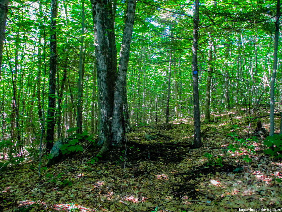
I let out a deep growl in annoyance as the blue markers took me to the left of the black soil, only to bring me back to it again. Then the footpath took me to the right of the black soil, only to bring me back to the black soil again. I wasted my time, if only I just followed the black soil that was going upwards, I would have saved a lot of energy and time.
Blue Trail Going Up
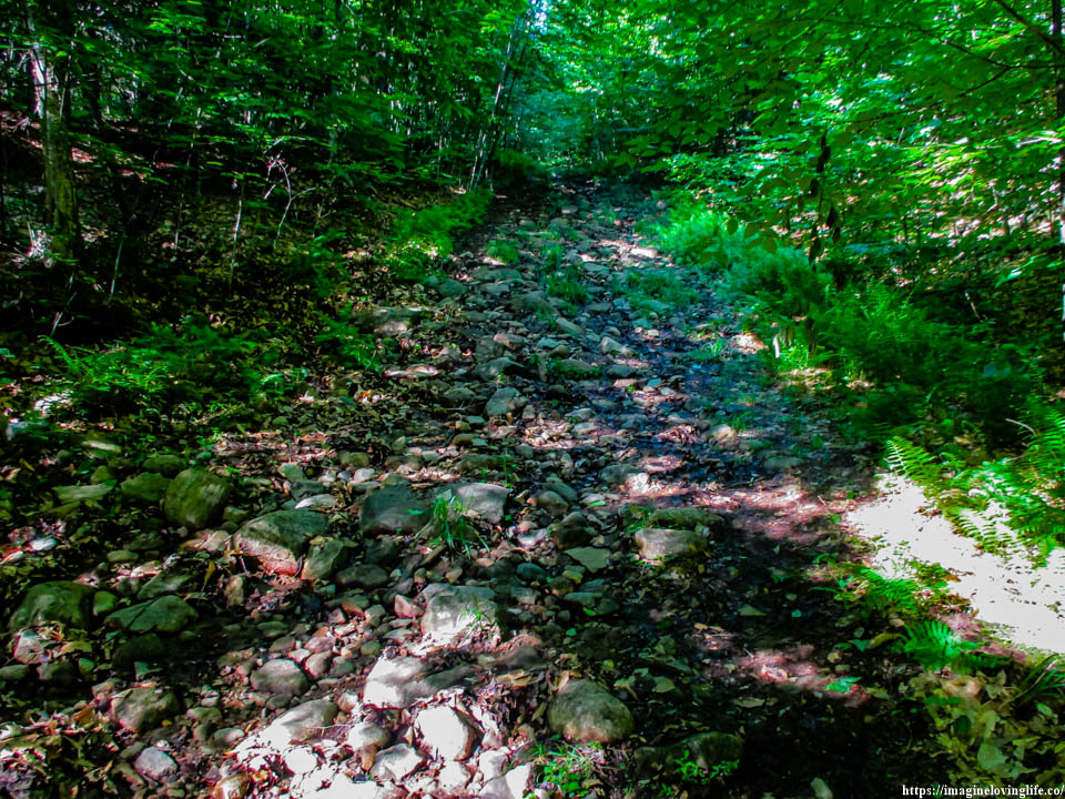
The black soil maybe a river that was going downwards but now it was gone perhaps the river dried up due to the weather or perhaps the water was rerouted somewhere else. I looked at my GPS, it said that if I follow the black soil going upwards, it would take me to the viewpoint so I took a risk and followed it.
Blue Trail
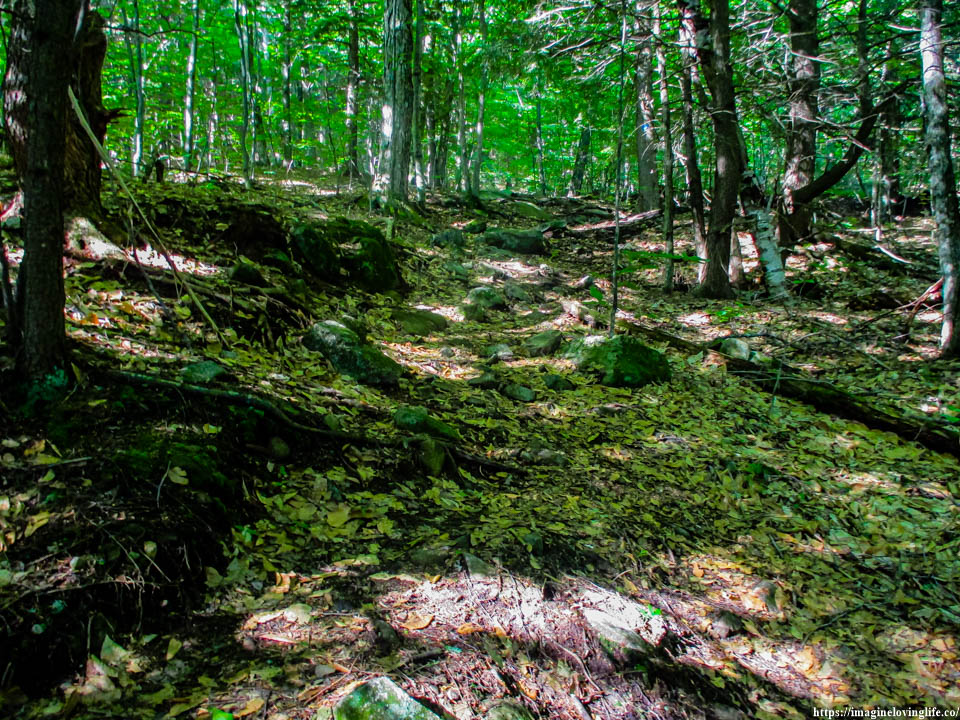
I saw the blue trail again as I kept following the black soil that was going upwards. According to the GPS, the blue trail will now lead me to the viewpoint so I said goodbye to the black soil and followed the blue trail.
Intersection
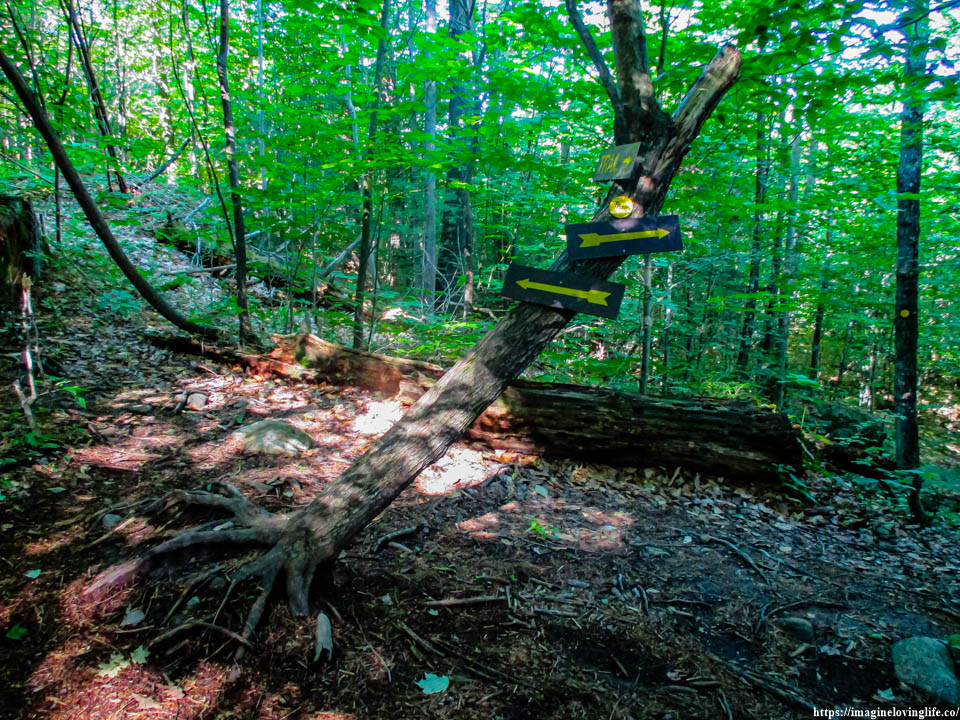
The left will lead to the viewpoint, the right will go to the yellow trail.
Trail To Cat Mountain
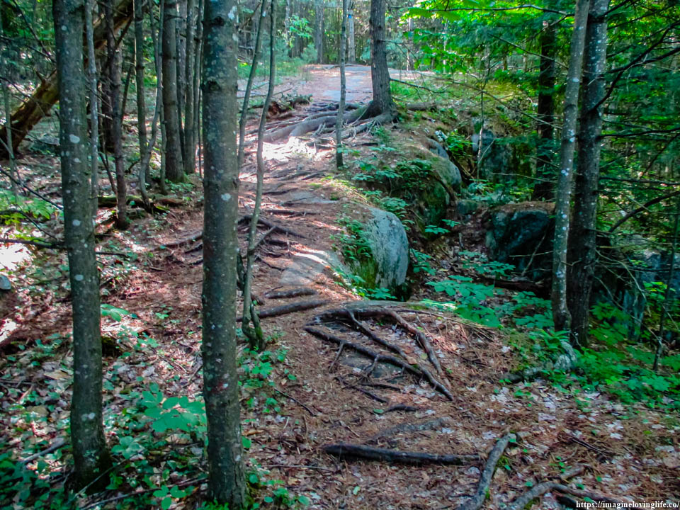
Last Ascent To Cat Mountain
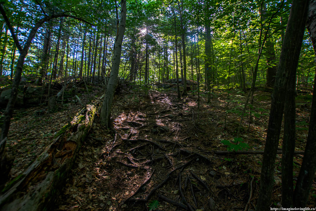
The morning light shined down unto me from the gaps between the trees of the forest. I was almost at the viewpoint, all I needed to do was conquer this last footpath that was ascending. I took a deep breath and stepped onto the footpath filled with roots, branches, and dead trees. I was dead tired as my breathing became erratic and heavy but I kept going upwards without resting nor stopping.
Cat Mountain First View Point
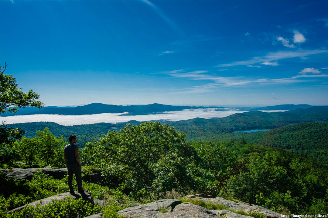
Cat Mountain Lookout
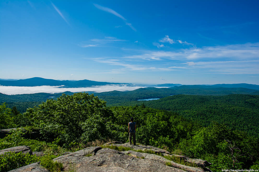
Cat Mountain Views
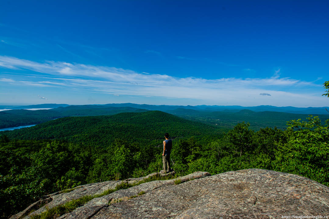
Cat Mountain Scenery
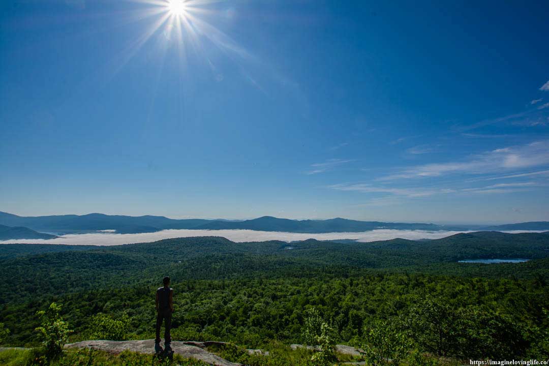
Cat Mountain Morning Sun
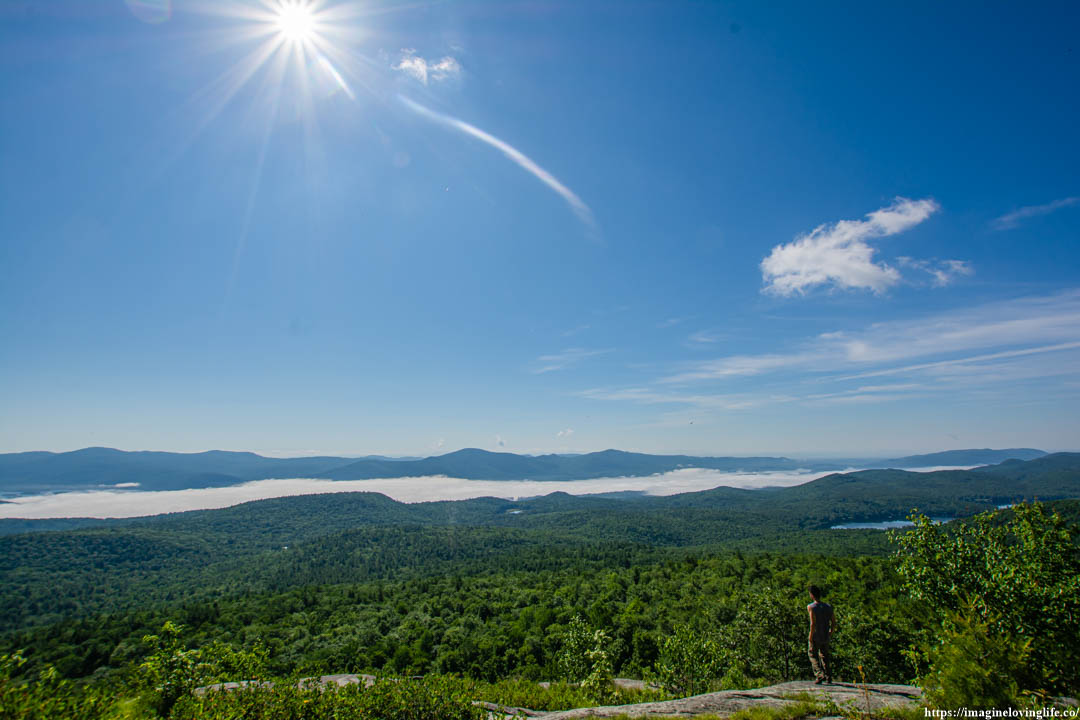
Cat Mountain Resting
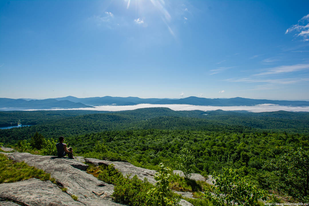
Cat Mountain
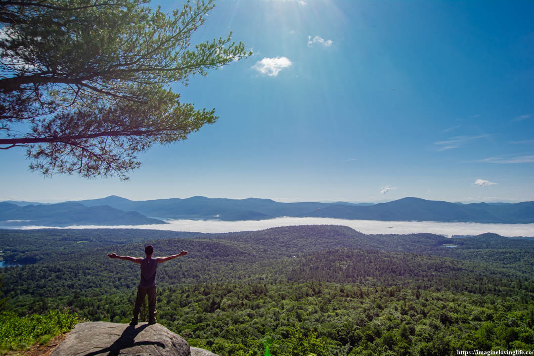
Cat Mountain
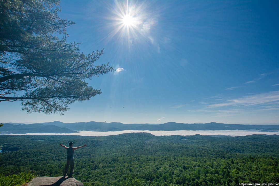
Cat Mountain Views
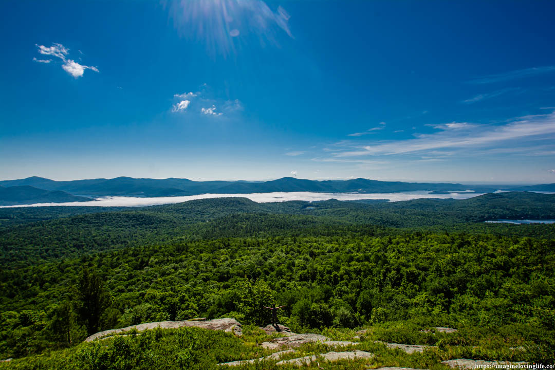
Cat Mountain Scenery
Yellow Trail
Yellow Trail
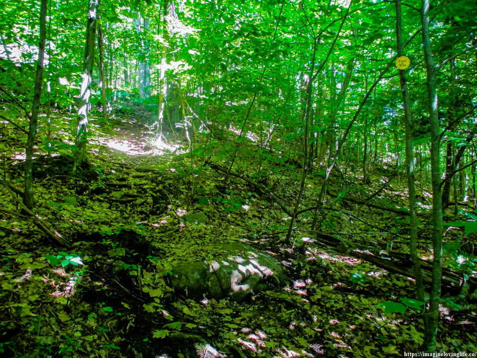
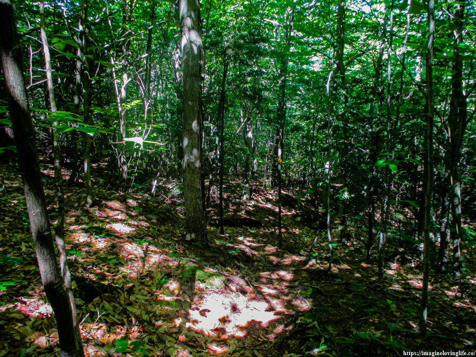
I stepped on the yellow trail, eager to get to the next viewpoint but I felt my boots sink a little bit due to the dead leaves that accumulated on this footpath. I swiped away the branches that were hanging low and used my hiking sticks to destroy the webs and homes of the spiders that were on the trail. I didn’t want to do it but I had no choice. This trail was not maintained at all and it seemed like no one used this trail in a while as well.
Yellow Trail
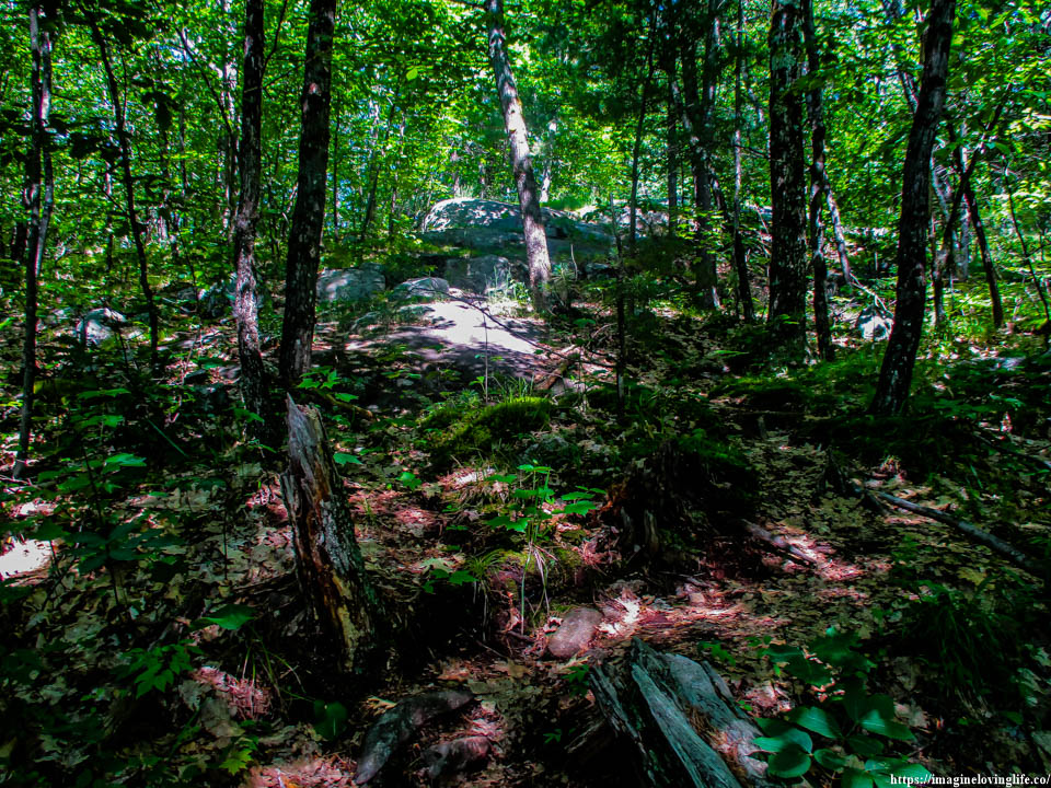
The footpath was very wild and not popular at all as there were dead leaves everywhere I stepped. The mosquitoes that disappeared, made their presence known again as a few buzzed around my face. I let out a deep sigh because the trail became very annoying as it would go up then down then up again.
Intersection
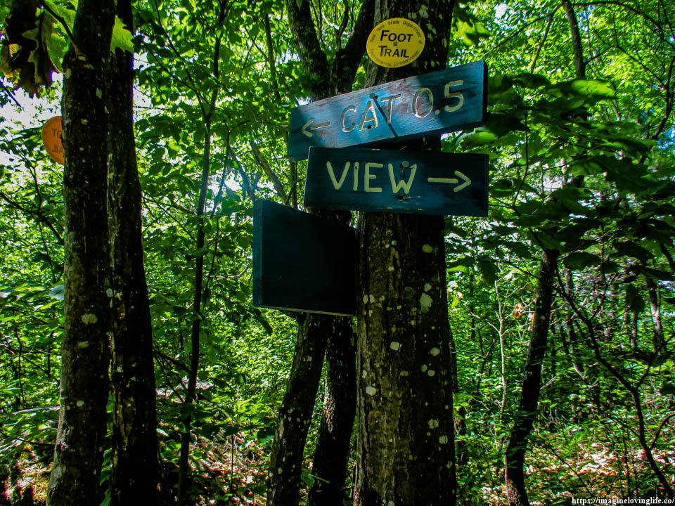
Viewpoint
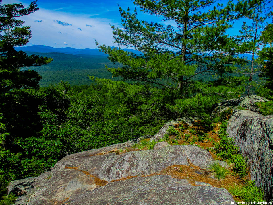
Small Viewpoint
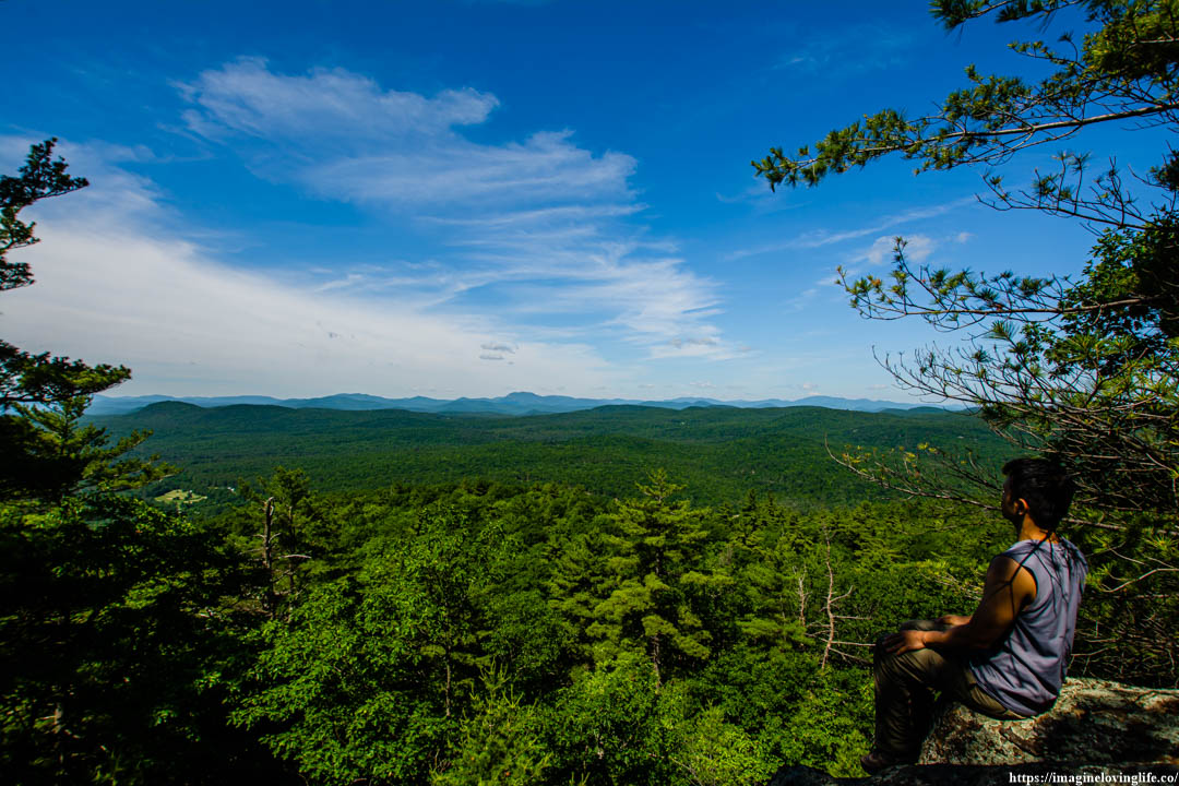
Yellow Trail Going Up
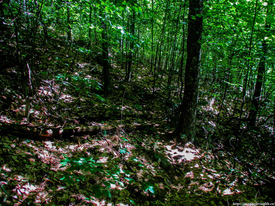
More going up.
Yellow Trail Going Down
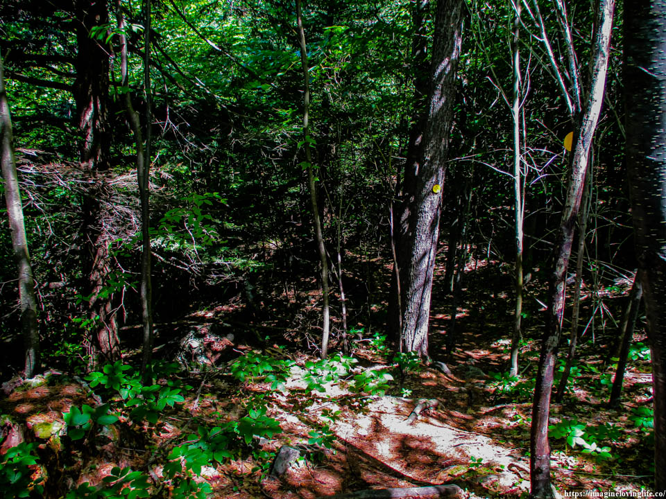
Yellow Trail
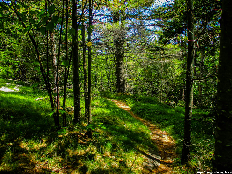
Yellow Trail
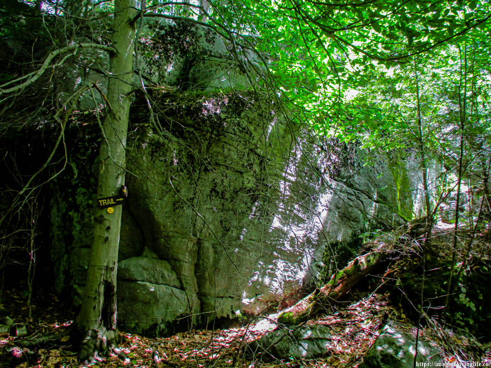
Yellow Trail
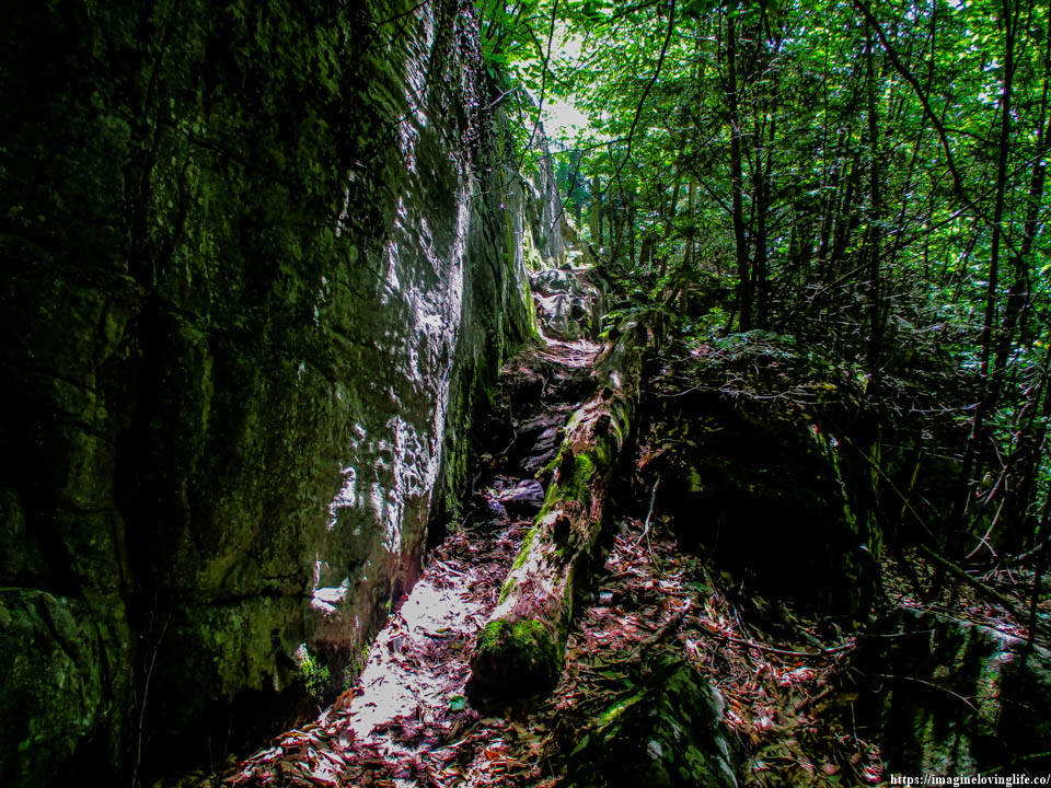
Yellow Trail
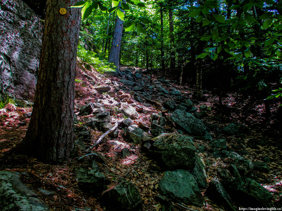
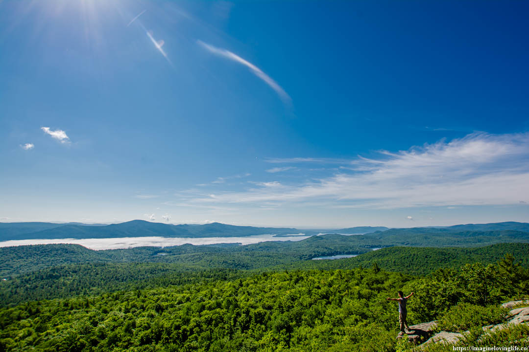
I groaned a little as I was dead tired and a little bit hungry but it was the final ascent according to my GPS. All I had to do was get up and I would be at the viewpoint. In there, I should be able to get some rest and enjoy the scenery while I take some pictures as well.
Thomas Mountain Lookout
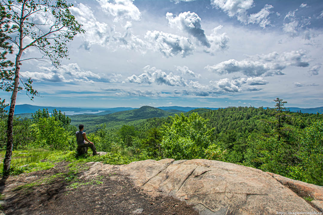
Thomas Mountain Views
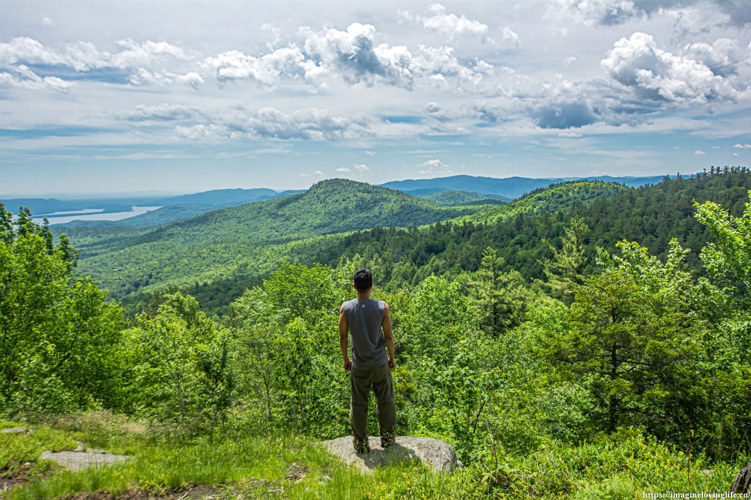
Thomas Mountain Vista
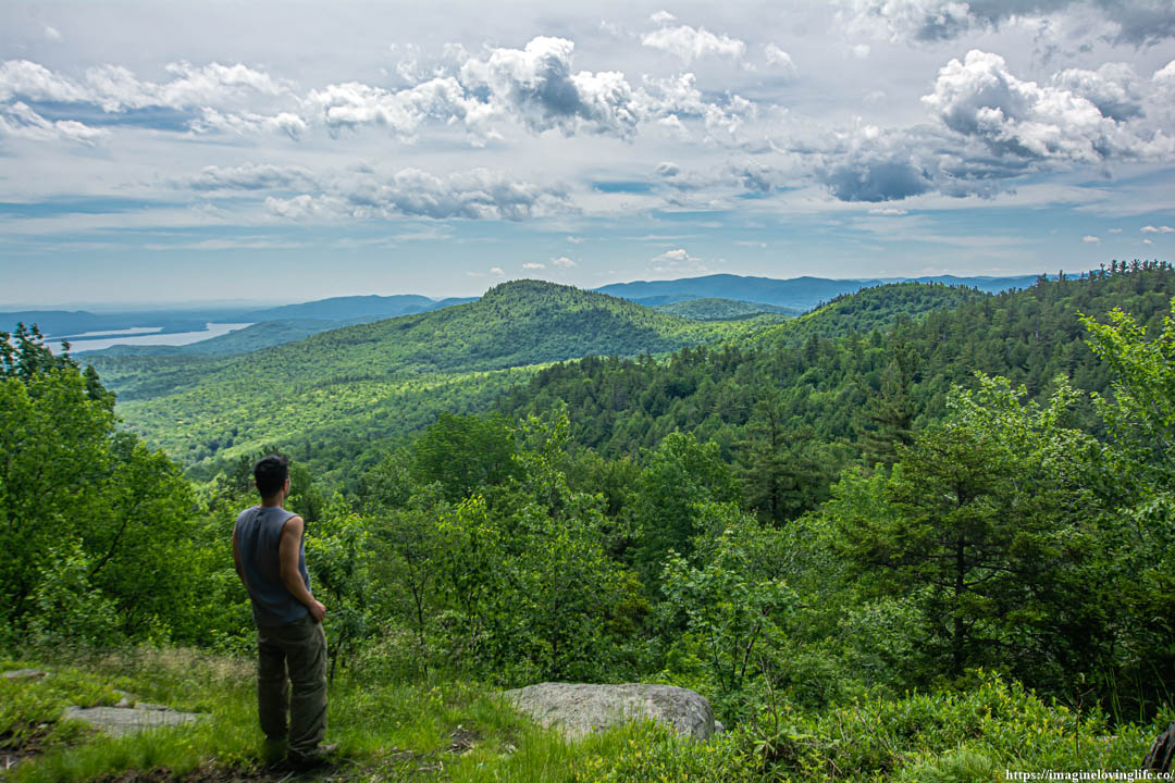
Thomas Mountain Scenery
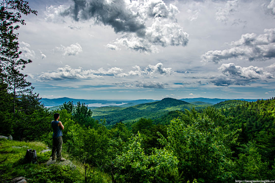
Trail Going Back
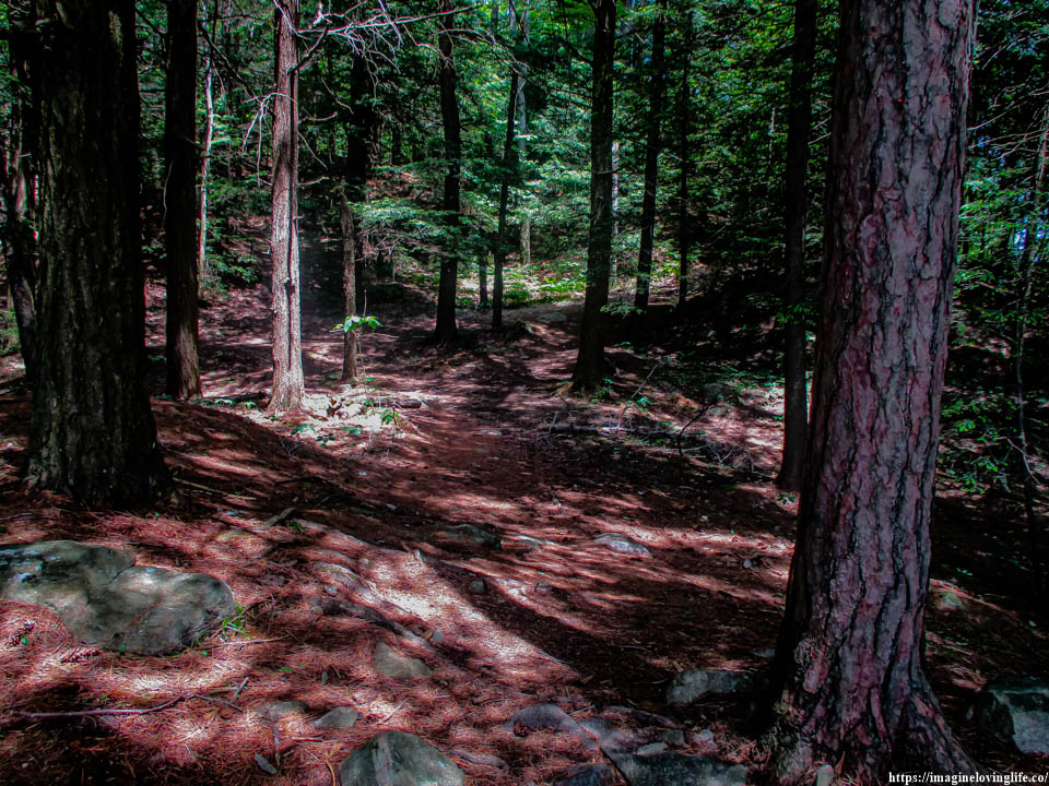
Yellow Trail
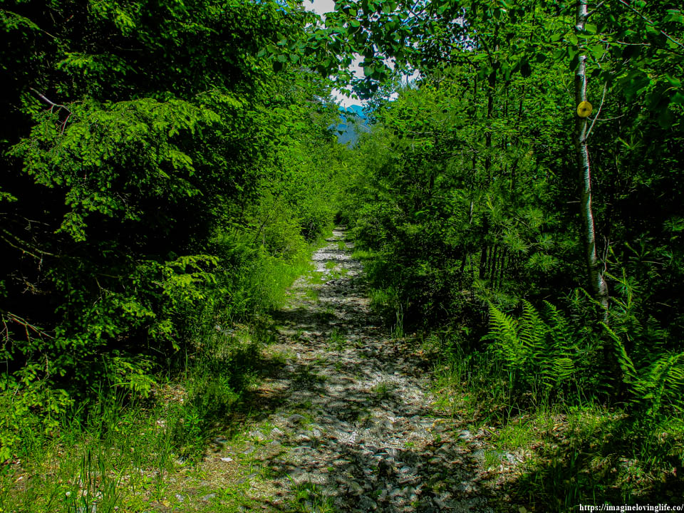
Yellow Trail
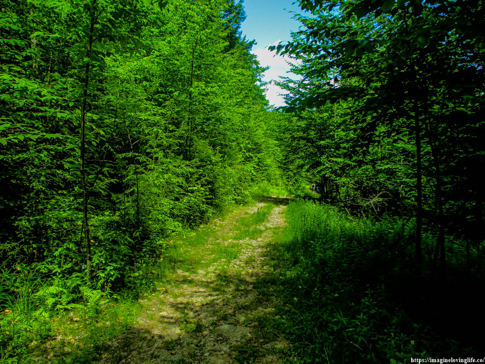
Intersection Before
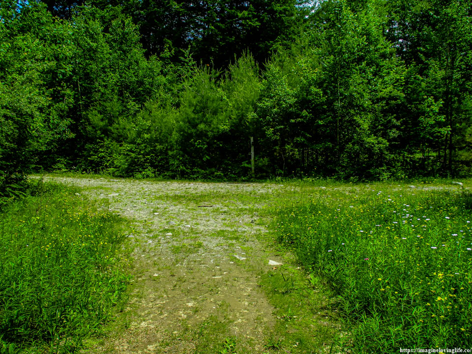
End Of The Hike
