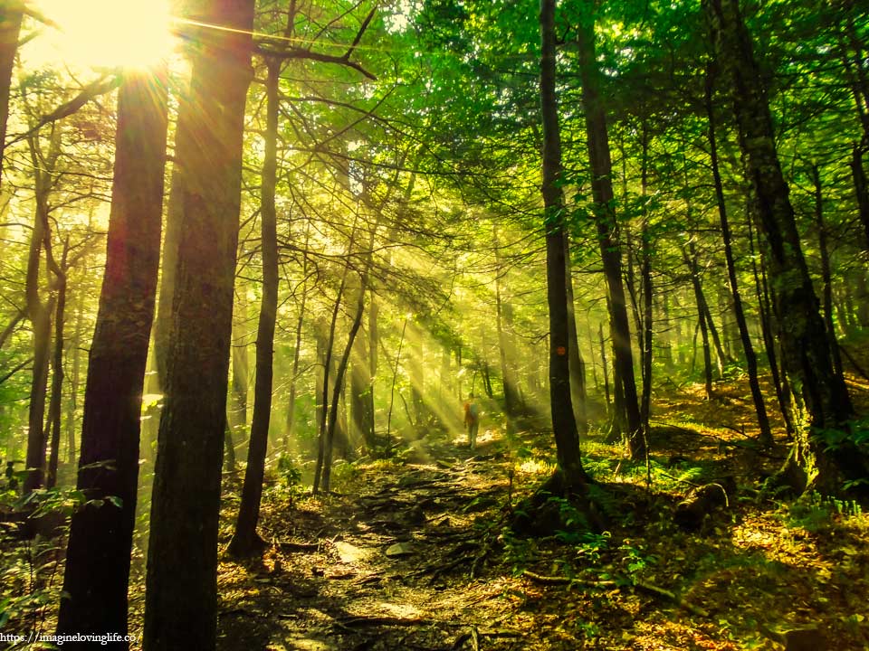
Eastern Devil’s path is a very tough hike that has a lot of ascents and descents. The trails are well maintained and expect to do a lot of rock scrambles as well. This is not for beginners. Most of the people that do this hike have been hiking for a lot of years. This is not a loop hike as well. People will need to have two cars in order to do this hike since the beginning and end points are in different places. There are lots of people that I have seen that can do the Eastern and Western devil’s path in one day.
Eastern Devil’s Path Important Information
Trail Map: Trail Map 1, Trail Map 2
Suggested Phone GPS Apps: Alltrails.com, Avenza Maps, Google Maps
Difficulty: Very Strenuous
Distance: ~14 Miles
Elevation Gained: 4100 ft
Portable Toilet At Parking: None
Trail Breakdown
Red Trail To Intersection – 2.3 miles
Sherman’s Lookout – 1.3 miles
Roots And Lookout – 0.5 miles
Indian Head – 0.7 miles
Jimmy Dolan Notch – 0.5 miles
Viewpoint Before Twin Mtn – 0.5 miles
Twin Mountain – 0.7 miles
Pecoy Notch – 0.7 miles
Sugarloaf Mountain – 2.3 miles
Descent To Intersection – 1 mile
Steep Climb To Viewpoint – 2.1 miles
Plateu Mountain – 0.3 miles
Danny’s Lookout – 2 miles
Descent To Parking Lot – 2 miles
https://www.mapmyhike.com/workout/2394595376
Note: The information is just an approximation.
Parking
Start Of The Hike
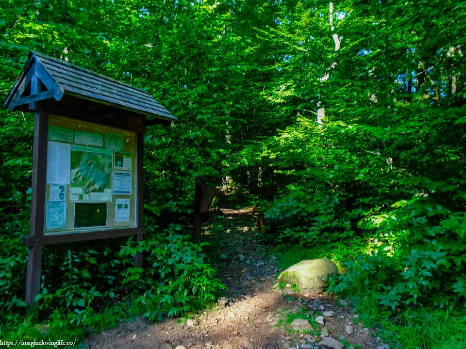
A heavy fog arrived without warning as I looked at the trail head. No announcement preceded it, no weather forecast, no warnings on the phone nor on any websites. It simply appeared out of nowhere when a few moments ago, it was not. We were lucky that we arrived a little bit early as the parking lot maybe big but it was often full or filled up by 10 AM. We packed light as the hike was known to be long and hard.
Red Trail – Devil’s Path
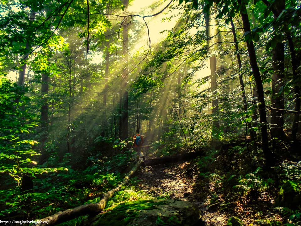
Today the clouds dropped upon the Earth, clinging to the leaves, soil, and everything around me, as if saying that the heavens were not good enough today and the clouds would rather prefer to be on the ground. The fog blurred my vision and the once familiar trail that I had done before looked somewhat new.
Red Trail – Fog
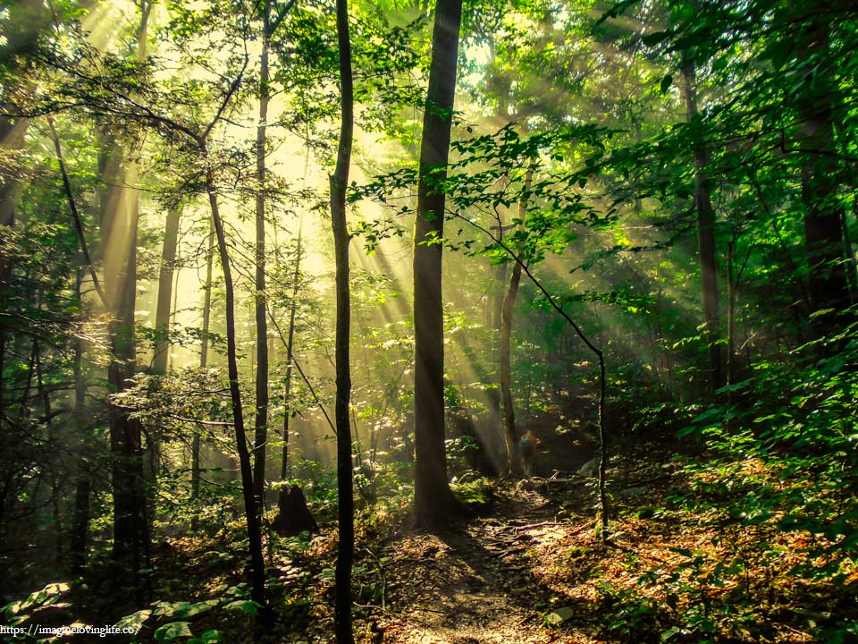
The green trees that I loved so much were now veiled with a white mist and I watched the light of the morning sun beam through the cracks between the multitude of leaves of the forests. Now was not the right time to take it slow and just admire how beautiful the forest can be as we had 13 miles to conquer and we barely just began.
Red Trail
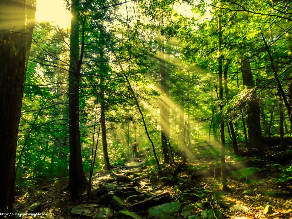
It was hard not to admire the forest with the sun’s rays shining down upon the mists, creating bars of light that under normal circumstances, we would not be able to see. I stretched out my hand to touch the bars of light, trying to catch the mist but I held nothing. What was I expecting? Of course, I would touch nothing. But my hand felt unique and satisfying as I felt warmth underneath the sun’s light while also being cooled by the vapors from the mist.
Red Trail – Devil’s Path
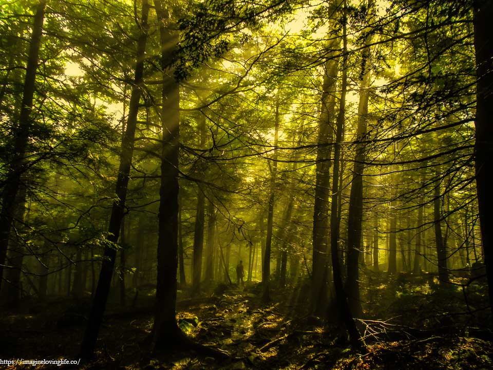
As my eye traveled through the forest, the fog coveted everything and all I could see were silhouettes that I could barely see what was in front of me. To think I was here a week ago when it was a lush and beautiful green forest, now nothing but dark shadowy figures that filled my surroundings. The once familiar trail that I knew was now just a stranger to my eyes.
Red Blue Intersection
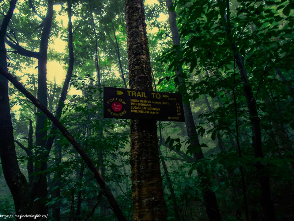
Red and blue intersection
Red Blue Intersection
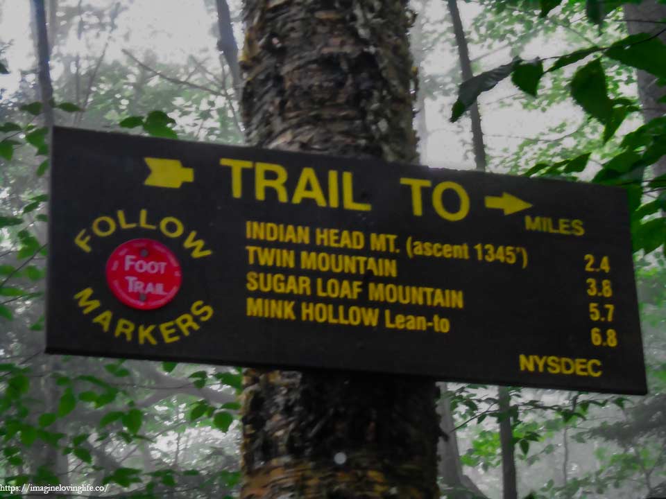
After a quick turn, another sign or intersection.
Red Trail Ascent
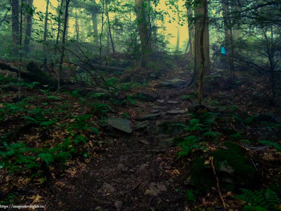
This was the start of the ascent and it was one of the longest. It wasn’t hard nor strenuous as the trail was wide, well maintained and easy to traverse but it was longer than what I wanted. We were still fresh, happy and our surroundings were cool and soothing to the skin that the ascent wasn’t a big of a deal. We kept moving upwards at a good pace with plenty of water and we were still hopeful that we would make it to the end rather easily and effortlessly.
Sherman’s Lookout
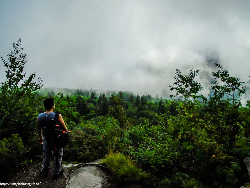
We couldn’t stay long at the viewpoint as there was nothing to see and the hike was also just starting. We still had a long way to go and resting here wouldn’t had been a good idea. We stayed just to take a few pictures then we were off to finish what we started.
Red Trail Ascending
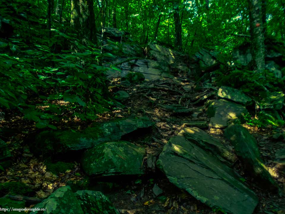
The fog subsided for a bit, allowing us to see the rays of the morning sun beaming through the cracks on the top of the forest. Rocks and boulders of different sizes scattered all over the ground, making it harder for us to hike upwards. Such a terrain wouldn’t be a problem normally but we were conserving energy as the hike was going to be very long and strenuous with massive elevation gain.
Red Trail
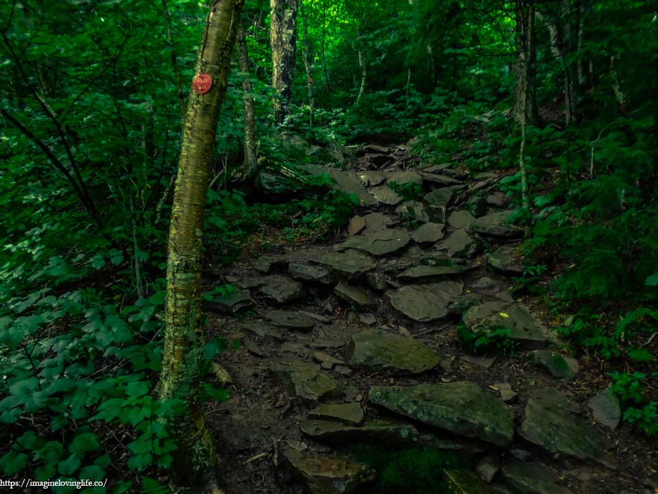
Devil’s path was unforgiving as more and more boulders and other obstacles appeared in front of us but we didn’t want to slow down. We kept moving on and on in order to save time. It was still morning but we didn’t know how long it would take to get to the end as such we were in a hurry with no time to enjoy the trail nor scenery.
Vertical Ascent – Roots
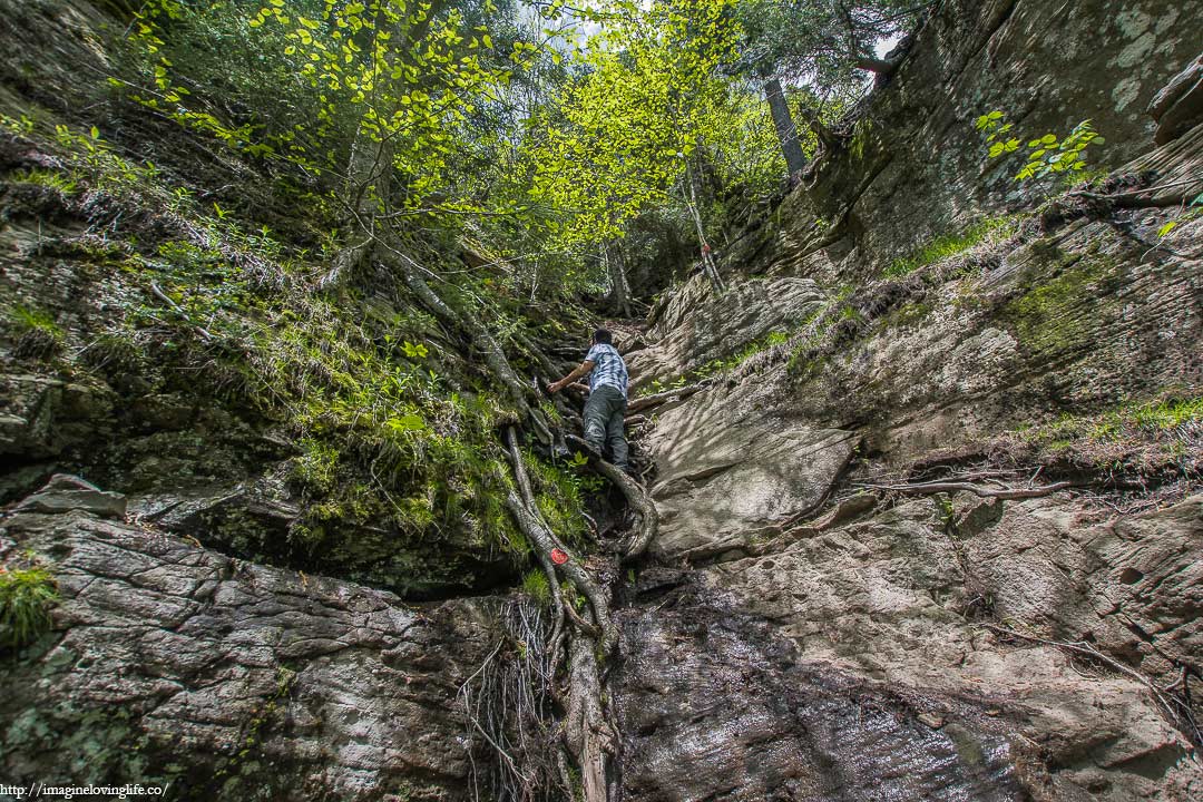
A vertical wall stood in front of us with no way to get up other than to grab onto the roots of the trees that made their home at the top. Surprisingly, the roots were sturdy and tough that it could handle my weight rather easily. These roots had been here for a long time and had been used by countless of hikers that hiked on this trail. One at a time, we climbed upwards until we were at the top.
Note: This pic was taken on another day when it was sunny without any fog.
Lookout Before Indian Mountain
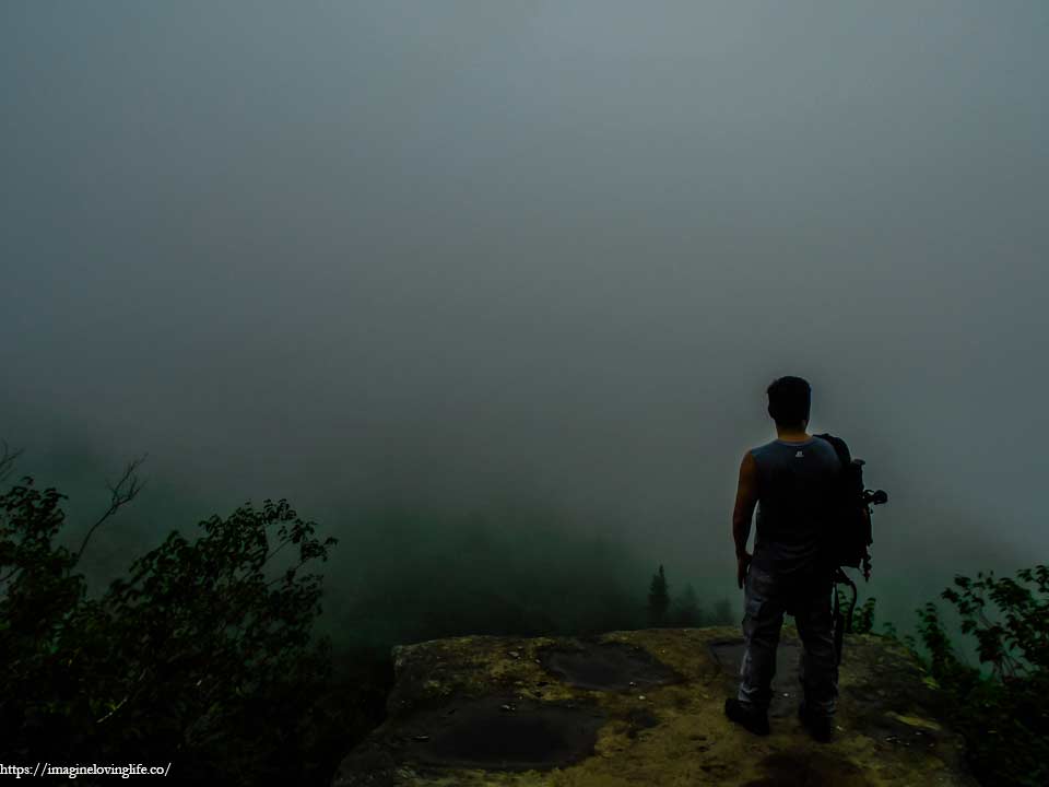
The fog could be seen moving down below. It looked like a big giant blob or slime, colored in white, and it was creeping and swallowing all the trees in its path as they forever disappeared from my sight. Only the thick smoke remained.
Red Trail At The Top Of Indian Mountain
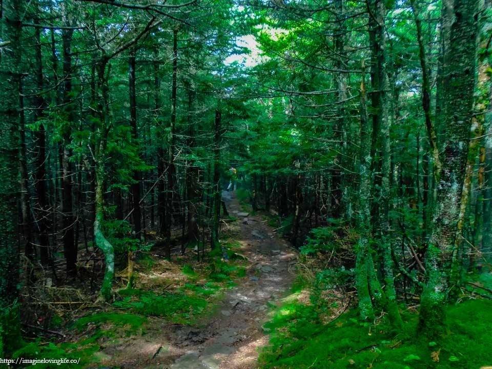
The top of the mountain was a flat footpath which was a nice change from the constant ascent that we had been doing. The sun had been showing itself intermittently. We would be inside the thick fog in one moment and free from it the next. We met lots of hikers at the top. Some were going the other way and some were going on the same direction as us. Truly, this path is one of the most popular hikes in the area.
Indian Head Mountain Viewpoint
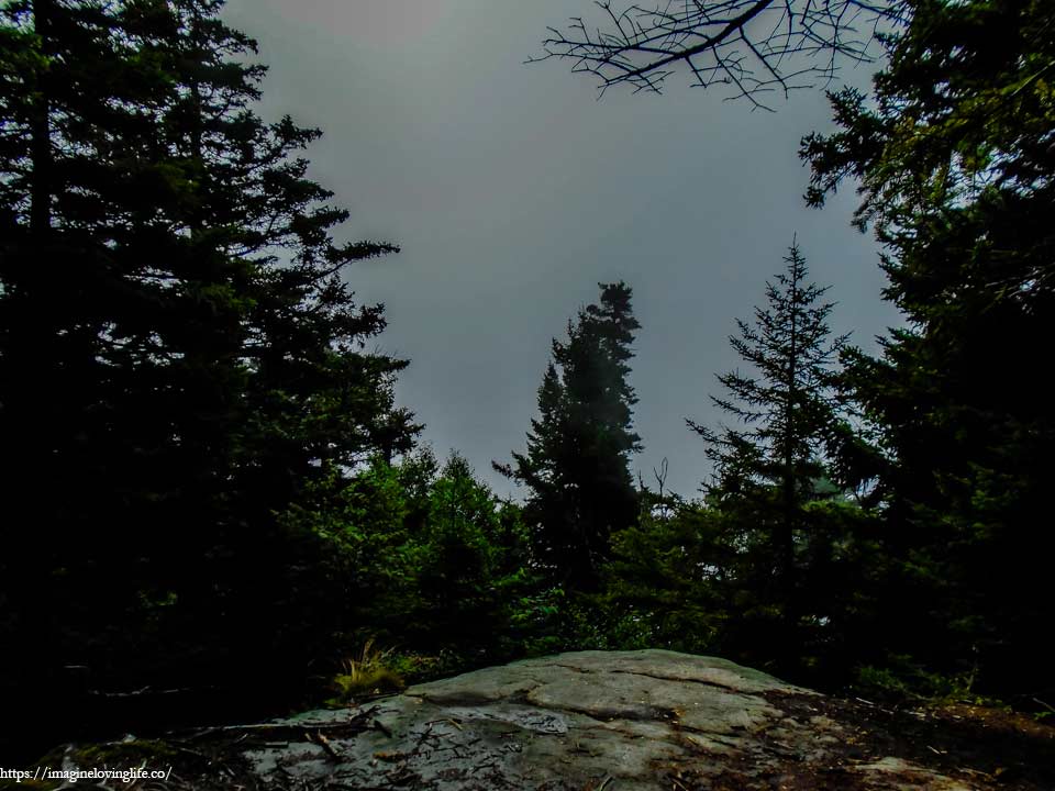
The viewpoint is blocked by trees and fog.
Red Trail Descent
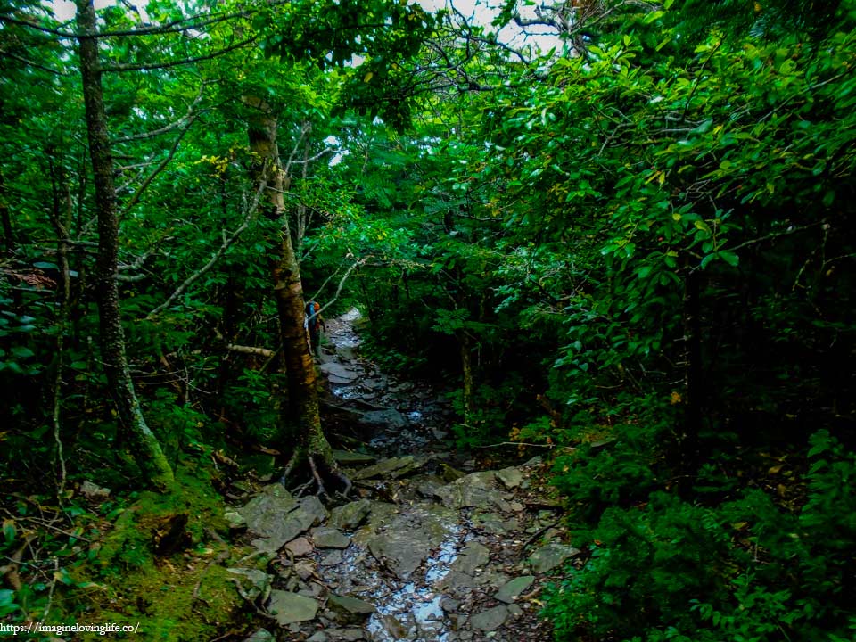
It was time to descend. The descent wasn’t bad but it was muddy as if a tiny river had been flowing in this part of the trail. This might be the result of the fog as it also brought water to the mountain and forests in the area. The rocks and boulders scattered along the trail made it easy for us to walk but there would be occasions where there was mud everywhere and we had to hug the sides to avoid getting our feet stuck in the soil.
Red And Blue Intersection
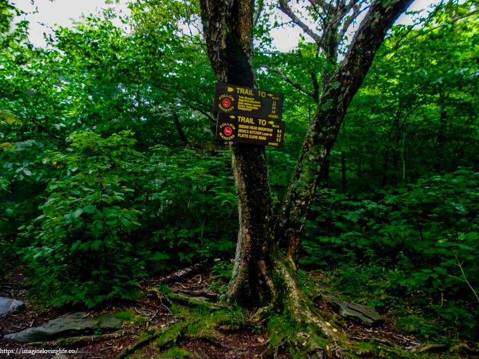
At the bottom was the red and blue intersection. People can go back to the parking lot at this point if they don’t feel like they could make the hike any longer.
Devil’s Path Going To Twin Mountain
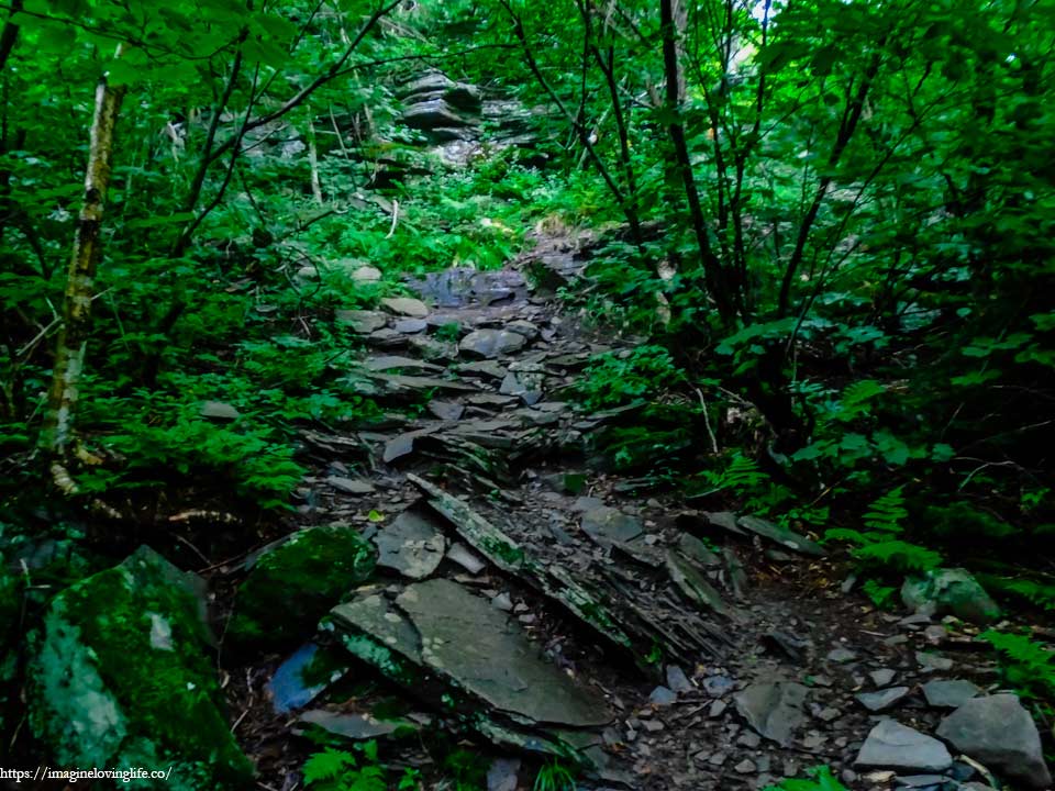
The water from the fog glistened as they lay rested on the rocks and boulders on the trail. The wet and damp footpath was not something I wanted to see. I was already tired and hiking upwards on a slippery trail was not something I was looking forward to. The trail would had been a lot easier without the water but there was no use complaining about it now. I was just glad that it was not raining.
Red Trail Going To Twin Mountain
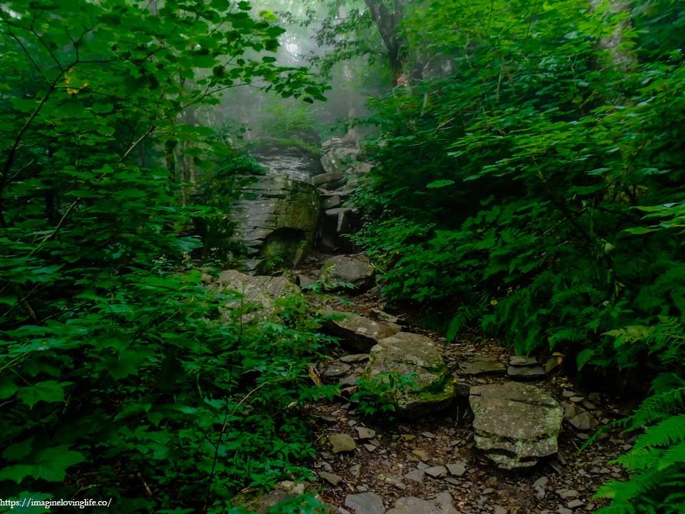
The misty fog enveloped my surroundings, blurring my vision as I could barely make out what was in front of me. It looked like we were approaching another vertical wall but this was far easier than before. After a few seconds, I was at the top already, no fuss, no mess. Just an easy rock scramble to the top.
Viewpoint Blocked By Trees
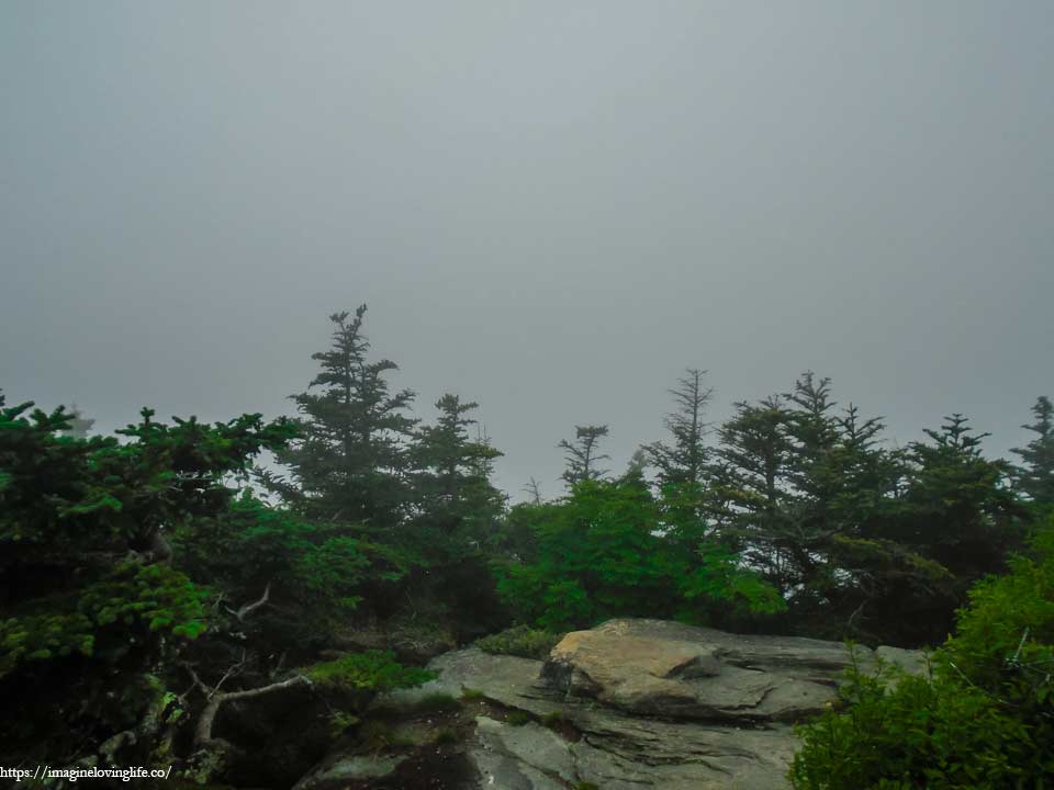
There used to be a small viewpoint here that was somewhat blocked by trees as well. On this day, I could not see anything due to the fog that envelop the area.
Red Trail
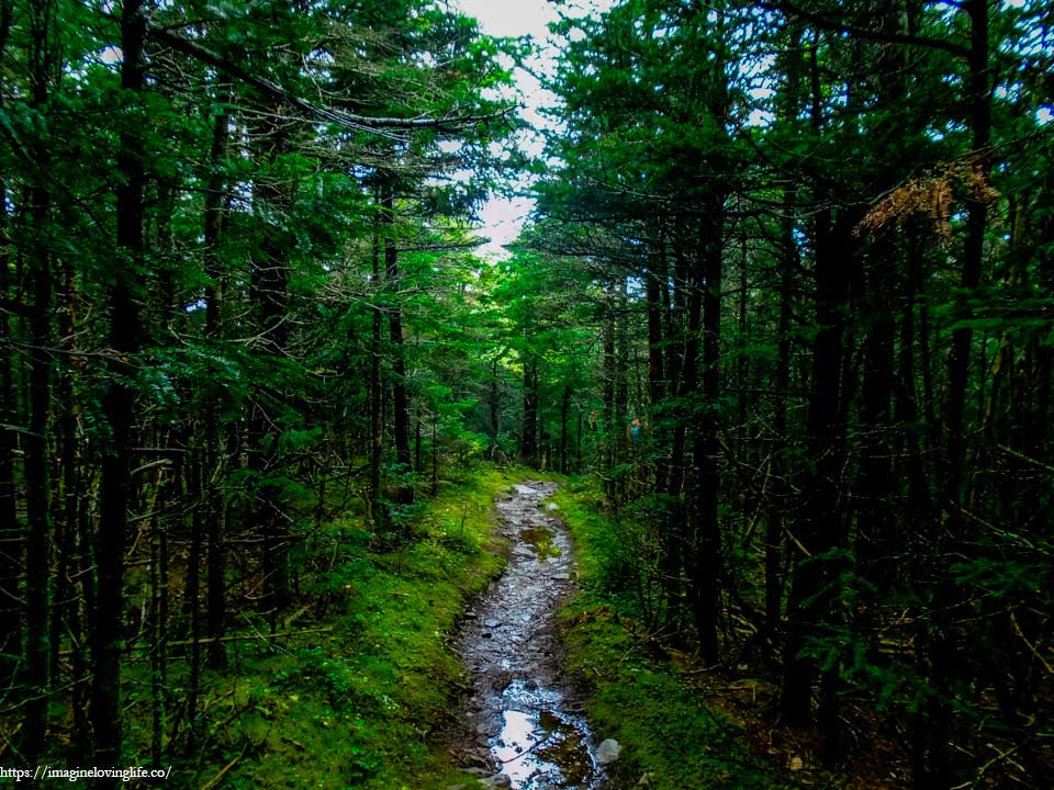
A short flat footpath and slight ascent to get to Twin Mountain.
Twin Mountain
Nothing to see in Twin Mountain also due to the fog.
Devil’s Path After Twin Mountain
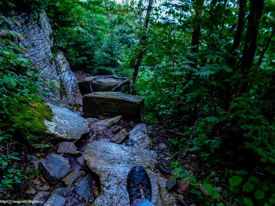
All of this was now new to me as I often just take people to Indian Head and Twin Mountain then go back to the parking lot. Perhaps today was not the best day to tackle this path as the rocks were wet and very slippery. The descent downward was a nightmare and I definitely will not take a big group here as the chances of injury was quite high in my opinion.
Red Trail
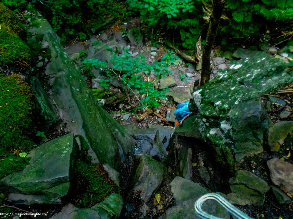
When I thought the descent couldn’t get worst, I was faced with somewhat of a vertical descent with very slippery rocks covered with green moss and water. The path to get to Sugarloaf intersection was not an easy one and this was most likely the hardest descent in the whole hike. We had no choice, I kept going downward, trying my best not to slip and fall in the process.
Red Trail
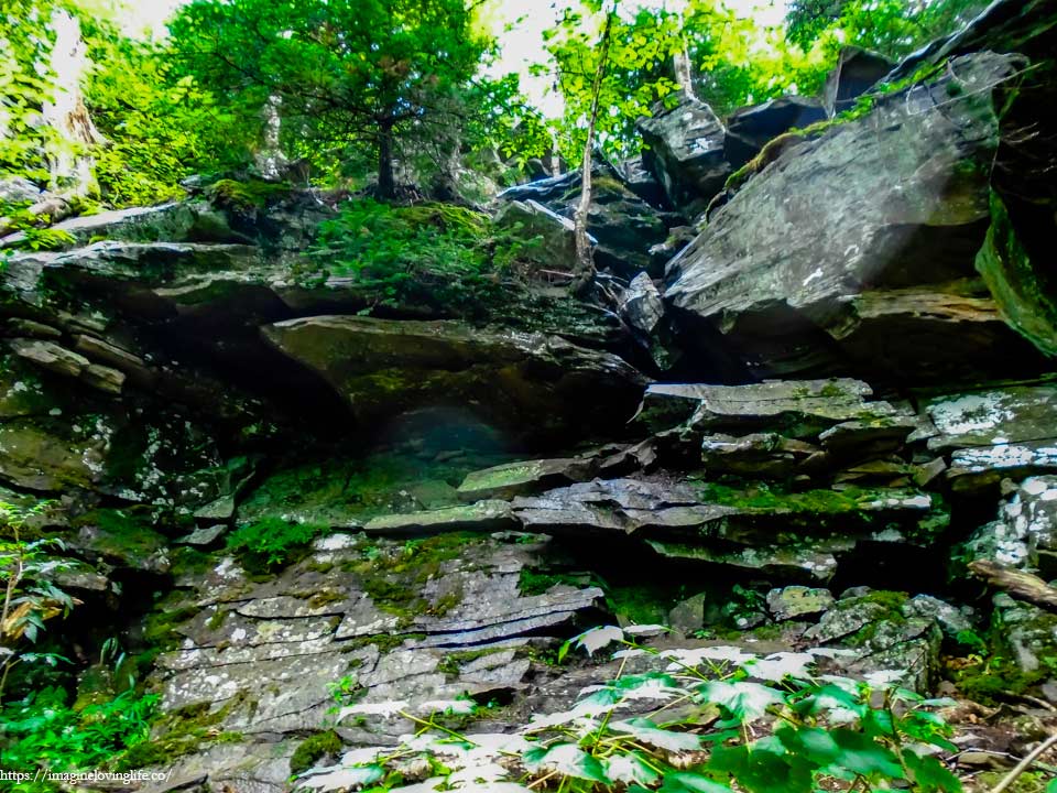
Looking back at the somewhat vertical descent that we did.
Viewpoint
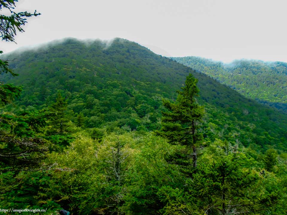
A viewpoint along the trail.
Red And Blue Intersection
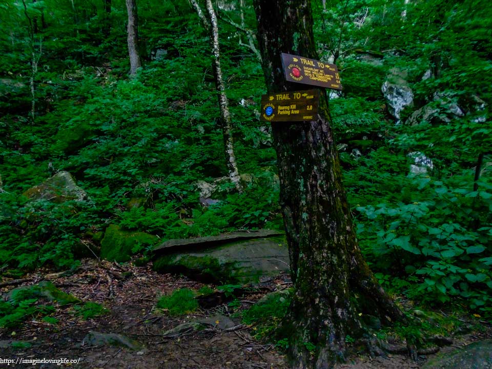
The red trail is the devil’s path and the blue trail will lead to the Sugarloaf Parking lot.
Devil’s Path to Sugarloaf Mountain
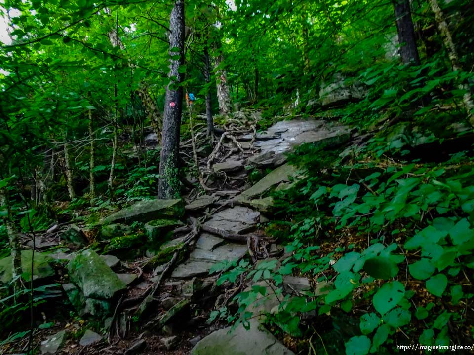
It was the hardest, longest and steepest ascent out of all the terrain in this hike. The footpath to the top of Sugarloaf mountain was no joke. It was unforgiving, and unapologetic with lots of boulders and obstacles scattered all over the mountain. I kept moving upward but I knew that my body was almost at its limit. Well, I guess the reputation was true in that the Devil’s Path was one of the most gruesome hikes in the Catskill Mountains.
Red Trail
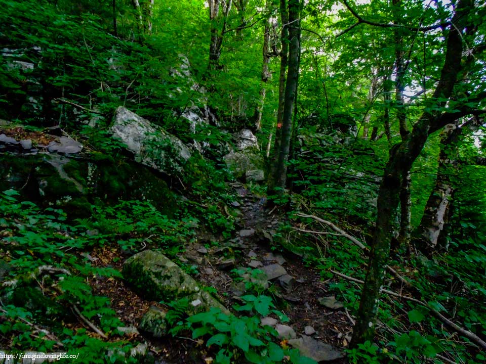
The ascent was never ending. I wiped the sweat off my forehead and braced my body for more elevation gain. I could feel my lungs working overtime as I was breathing deeper and deeper than before. I huffed and puffed like no other, pushing my body to keep going even though I know that I was already very tired. But there was no going back now as the only way out was to conquer this trail.
Yellow Trail That Leads To Viewpoint
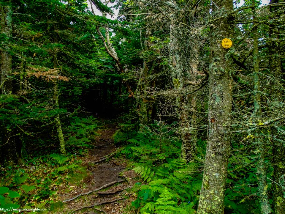
The yellow trail leads to a viewpoint but I’ve been here before and it was blocked by trees so I didn’t bother going in.
Devil’s Path After The Top Of Sugarloaf Mountain
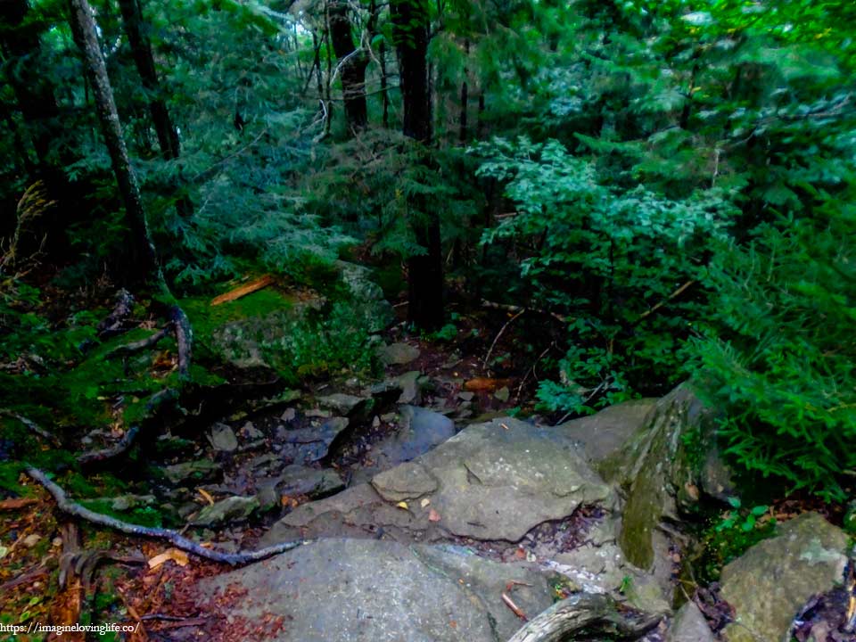
The descent after the top of Sugarloaf wasn’t easy either but at least, it was not like the descent I experienced in Twin Mountain. The terrain took a lot of my energy as I had to use all four of my limbs to get down but the descent was not dangerous for my skill level and for that I was very grateful. I moved downward slowly, grabbing outcrops and rocks while lowering my feet to safety.
Red Trail
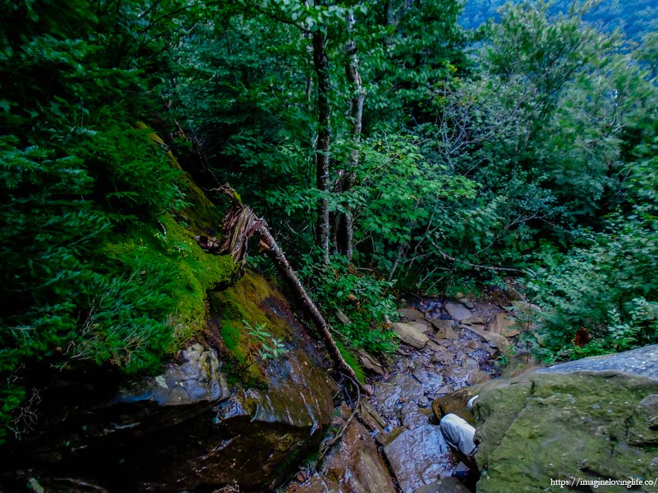
Wet and slippery, the footpath to get down of Sugarloaf mountain was somewhat dangerous but still doable with my skill level. I grabbed the cold hard rock that was wet from the mist, giving my body some balance and giving me a way to not fall down. I lowered my right leg until it touched the ground then lowered my left leg until I could safely stand and feel very safe. I repeated the process over and over until I was safely at the bottom of the mountain.
Red And Yellow Trail
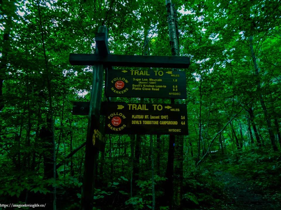
The yellow trail leads to the plateau mountain parking lot. I heard people park here also in case there are people that need to bail or people too tired to continue the hike.
Devil’s Path To Plateau Mountain

The constant pressure that my legs had endured finally caused my right leg to be in pain. Something broke at the back of my knees or perhaps it was just inflamed. It hurt with each upward step that I made but there was no going back now. I told my hiking buddy that I suffered some sort of injury and I will be hiking very slow. He was very understanding and let me hike in my own pace without a single complaint.
Red Trail
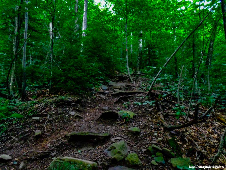
I used my left leg to start the hike upwards then my right leg would follow. Doing the same tactic or repetition prevented any major pain from occurring as the pressure from the steps would be shifted to the left leg instead of the right one. I was safely able to get up although rather slowly but as long as I was moving,
Red Trail
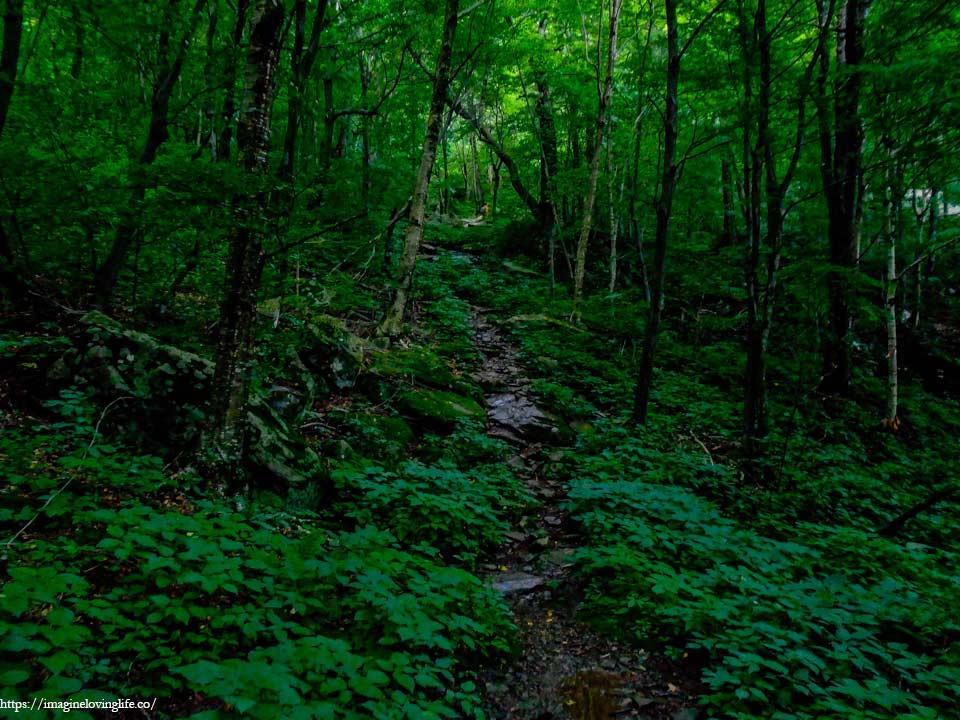
The footpath was an ascending one and it was no surprised. A continuous ascent to the top of the mountain. Luckily, there were hardly any rock scrambles or steep slopes, just a narrow dirt footpath that goes up to the mountain.
Plateau Mountain View
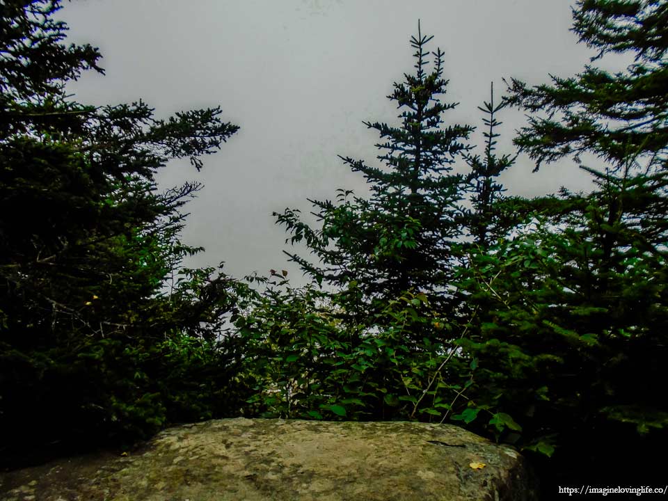
We rested for a few minutes after reaching a vista. It wasn’t much of a lookout as the unrelenting fog kept following us and blocking most of our views. However, a few minutes of rest to let my leg recover was very nice and I was very grateful for it.
Flat Trail To Plateau Mountain
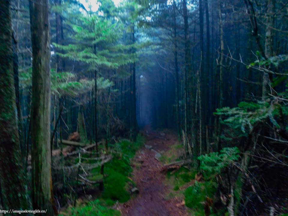
Once I saw the familiar red footpath with the tightly packed skinny trees then I knew that we reached the top. The ascents or elevation gain were over and there was this flat terrain that stretched on for a few miles in front of us. I let a sigh of relief knowing that the hard parts of the hike were over and the only thing left was to be able to go the distance.
Flat Trail To Plateau Mountain
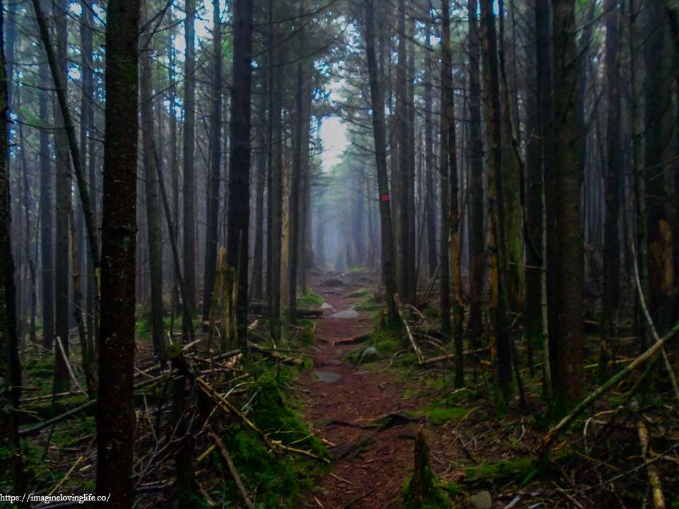
The flat trail was long and I hardly saw any person hiking here. Perhaps this part of the trail wasn’t very popular or boring for most people as such we hardly saw anyone. The fog and hiking all alone in the middle of nowhere often reminded me of the start of a scary movie but I was too happy that there were no more ascending slopes that I had to deal with to be scared or feel any type of fear.
Danny’s Lookout
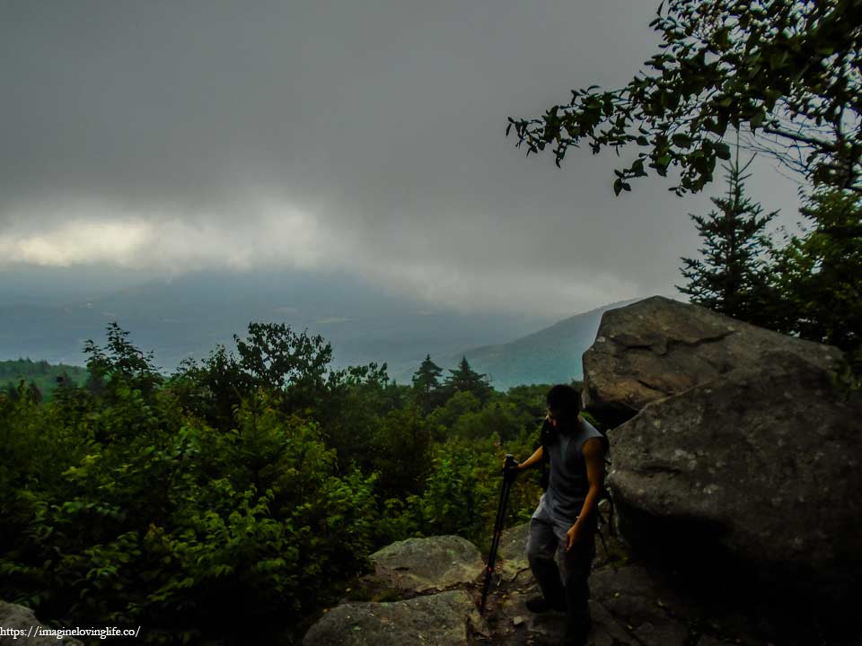
We were still inside the fog after hiking for so long that the lookout didn’t offer any views at all. It seemed to be a nice lookout with lots of places to sit where hikers can just relax and enjoy the view.
Devil’s Path After Plateau Mountain
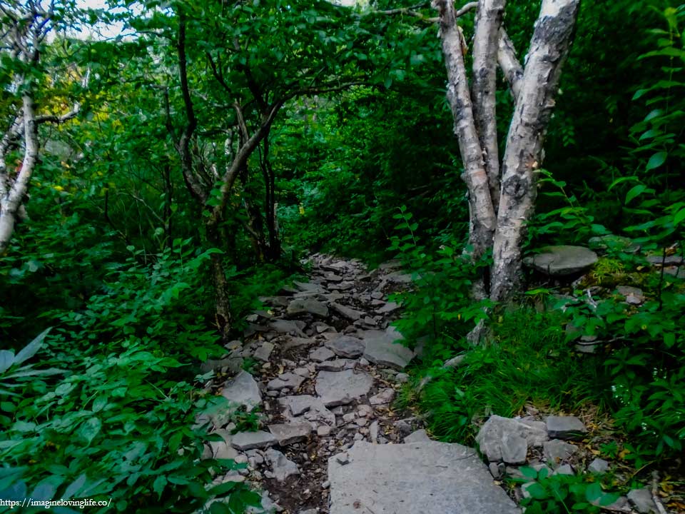
It was a trail filled with different sized rocks and boulders. It wasn’t a hard trail by any means, it was rather easy but it was just peculiar that there were so many rocks in here. I walked downward slowly as I couldn’t walk any faster due to my injury and fatigue, trying not to cause any loose rocks to go tumbling down the mountain as there were hikers at the bottom of the trail.
R6d Trail
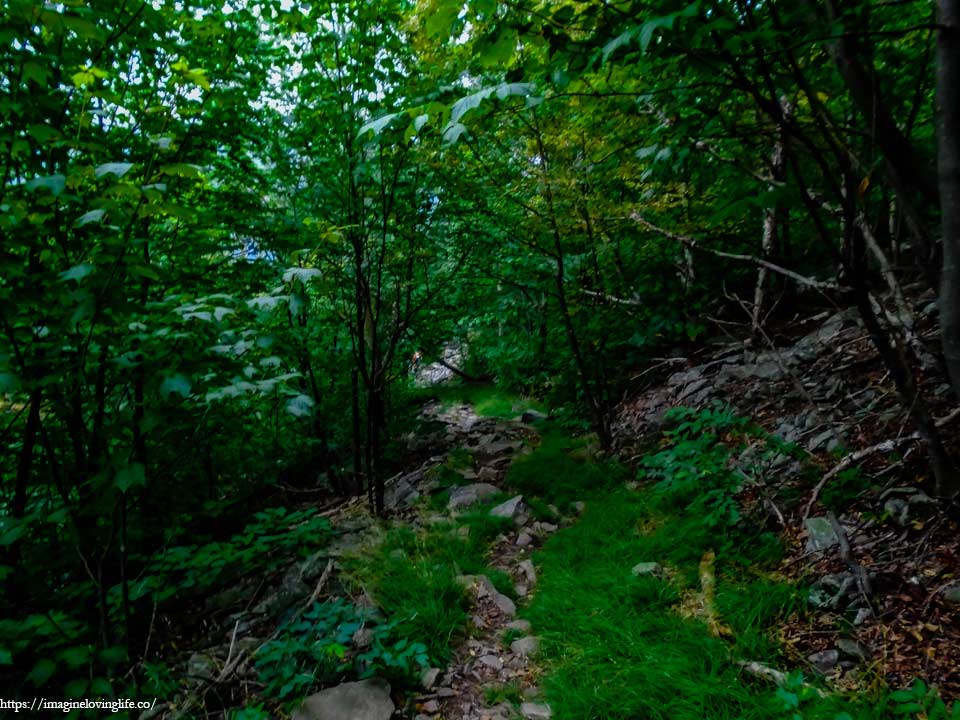
The descent kept on going for some time which was expected since we were at the top of the mountain but I knew that we were almost at the parking lot so I was pretty happy. I was already thinking of the food that I would like to eat after this hike. There was this Chinese food restaurant near this place and I was really craving for some rice right about now.
Devil’s Path
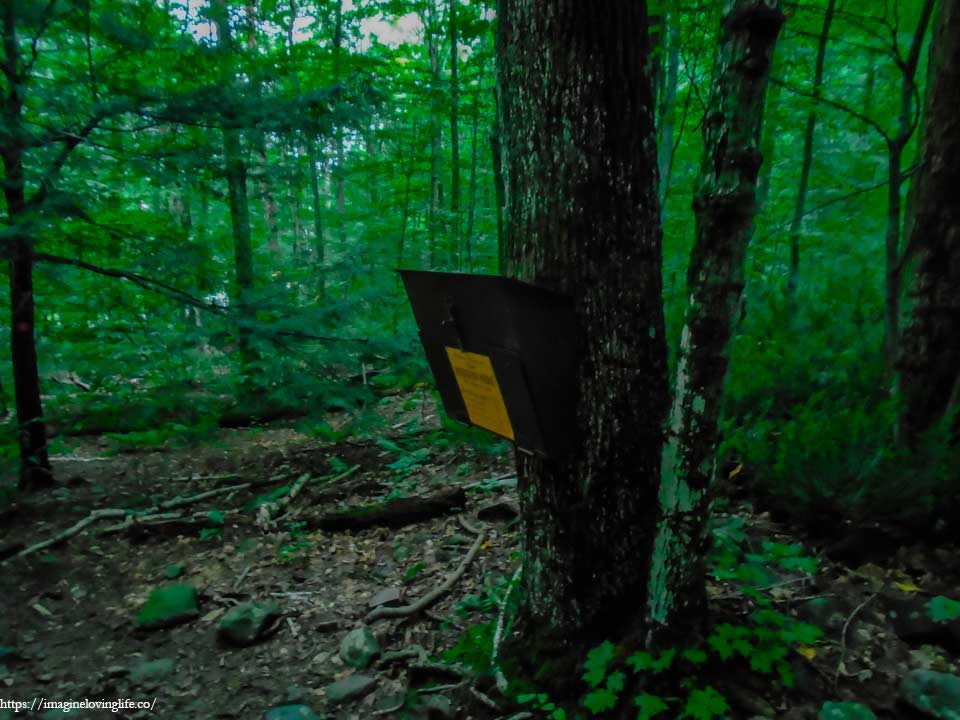
The registration box was such a beautiful thing to my eyes which meant that the hike was over and we could finally relax.
End Of The Hike
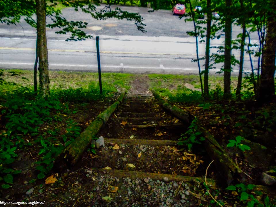
The road presented itself at the clearing at the end of the forest and in that moment, I saw my friend’s car which meant that the hike was over. It was such a tough hike, one of the most difficult that I’ve been to and yet there were people who could do the whole 25 miles devil’s path in one day. Perhaps if I trained more and packed less then I would be able to do such a feat.
We went to a restaurant, ate our food and got some ice for my leg. The hike was not over as we have another 12-13 miles to do tomorrow as such I have to prepare as much as I could. I got to the camping area and went to sleep. Hoping my leg would be completely healed by tomorrow when we hike the next half of the devil’s path.
For more hikes similar to this one, you can go to my Best Hikes In Catskill, New York page.