Mount Marcy, Skylight And Gray Peak hike is one of the toughest hikes that I have ever done. The sheer amount of elevation gain, and total length or distance of the hike made this very difficult and strenuous. It is definitely not for the beginners and definitely not for physically unfit people. I had to start early when it was still dark to give myself more time to complete the whole hike. The path to gray peak is not very friendly as well. I could see people getting injured in that trail since it was not maintained when I went there. The trail was unmarked and people had to use their tracking skills or path finding skills to get to the top.
Mount Marcy, Skylight And Gray Peak Important Information
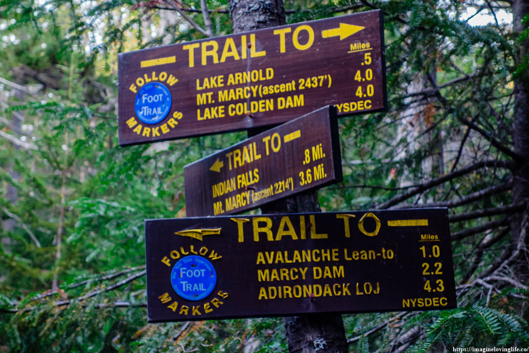
Trail Map: Trail Map 1
Suggested Phone GPS Apps: Alltrails.com, Avenza Maps, Google Maps
Difficulty: Very Strenuous
Distance: 18 Miles
Elevation Gained: 5,500 ft
Portable Toilet At Parking: None
Trail Breakdown
Van Hoevenberg Trail
Marcy Dam
Van Hoevenberg Trail To Phelps Mountain Intersection
Van Hoevenberg Trail To Tabletop Mountain Intersection
Van Hoevenberg Trail To Indian Falls
Van Hoevenberg Trail Mount Marcy
Marcy Trail
Skylight Trail
Gray Peak Trail
Lake Arnold Trail
Van Hoevenberg Trail Going Back
Note: The information is just an approximation.
Parking
Start Of The Hike
This hike that I started doing was not for beginners to do. This was a very tough hike that was filled with obstacles, high elevation gain, and the 18 miles length could destroy people’s legs if they were not prepared.
Trail Head
Van Hoevenberg Trail
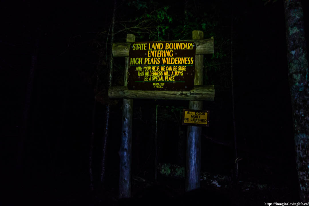
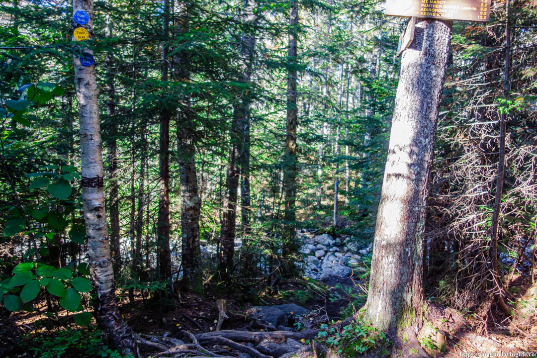
Sign
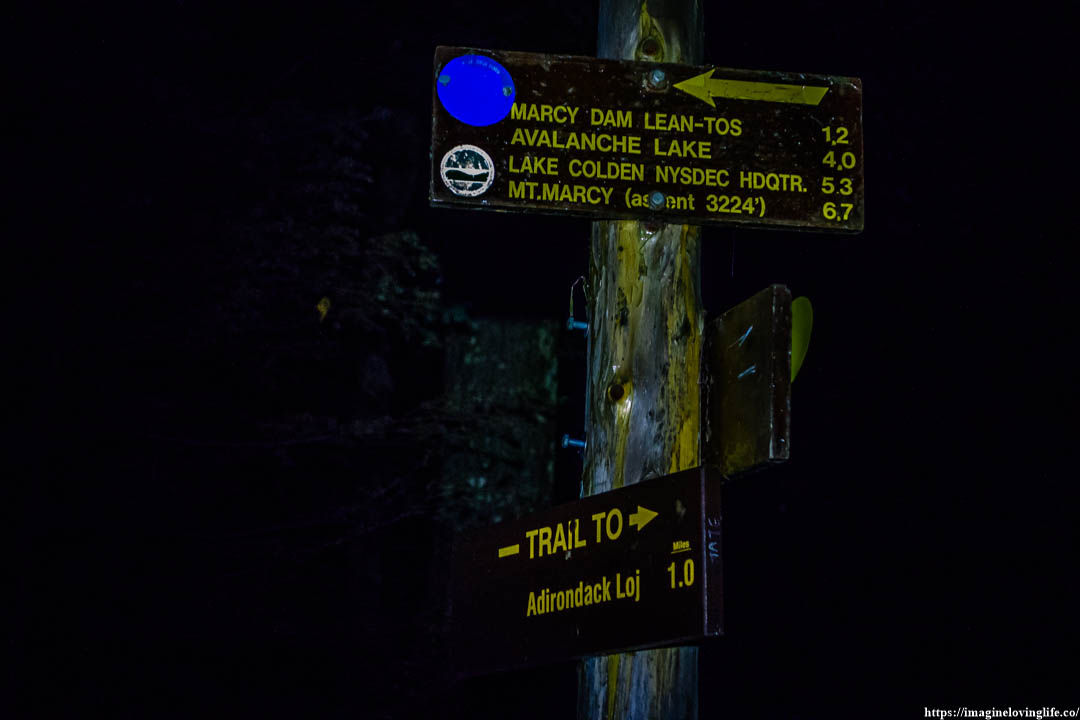
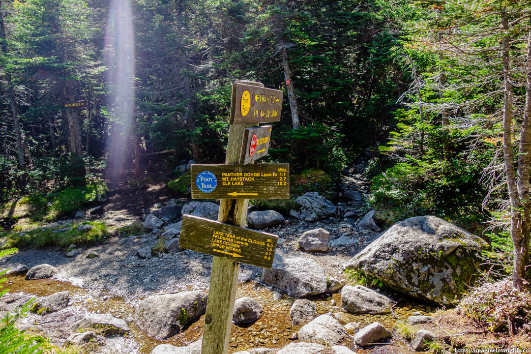
Intersection
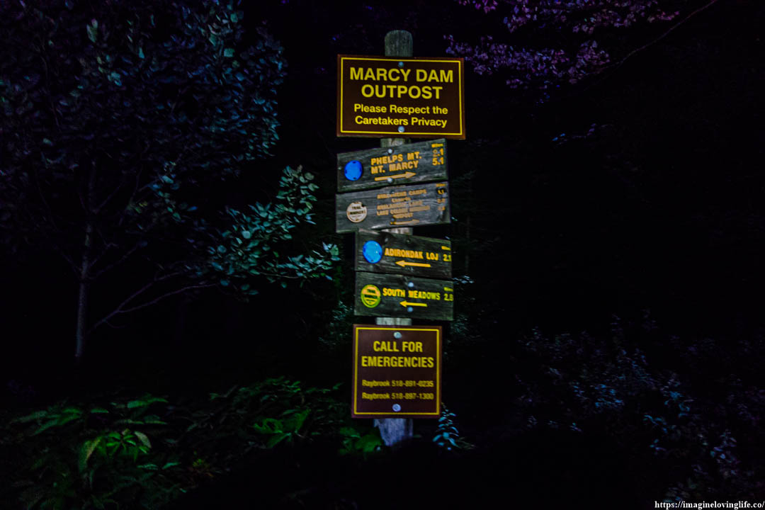
Marcy Dam Outpost
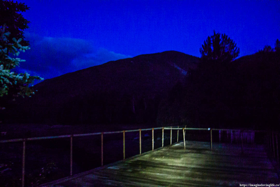
Views At The Dam
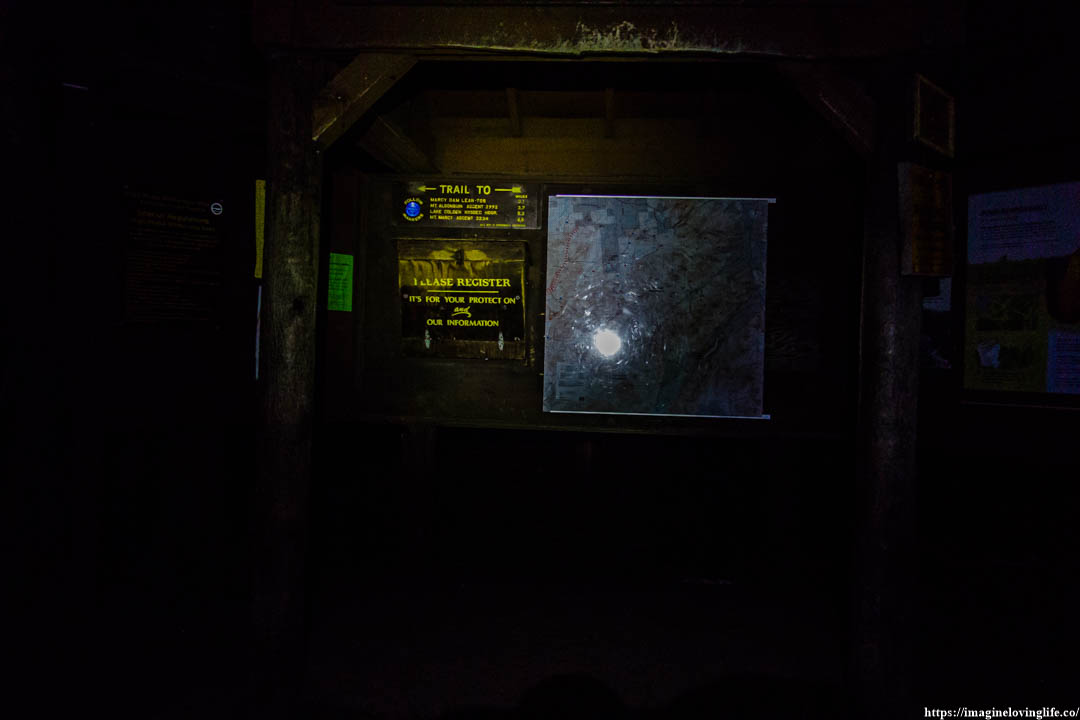
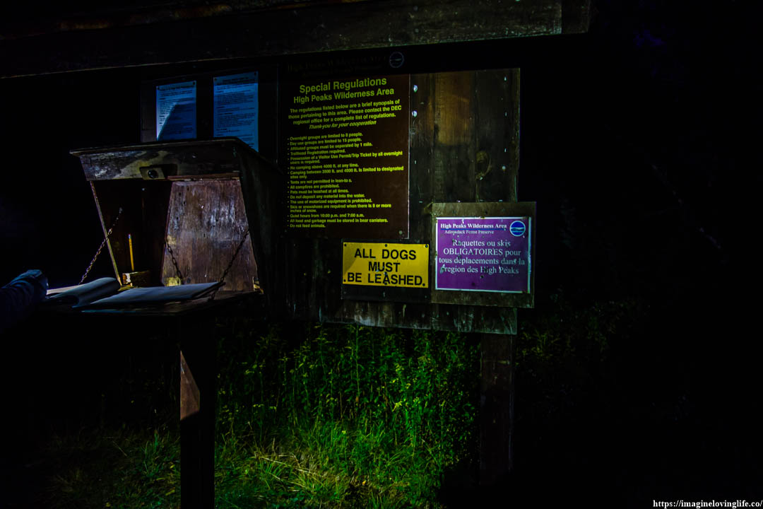
Trail Head / Registration
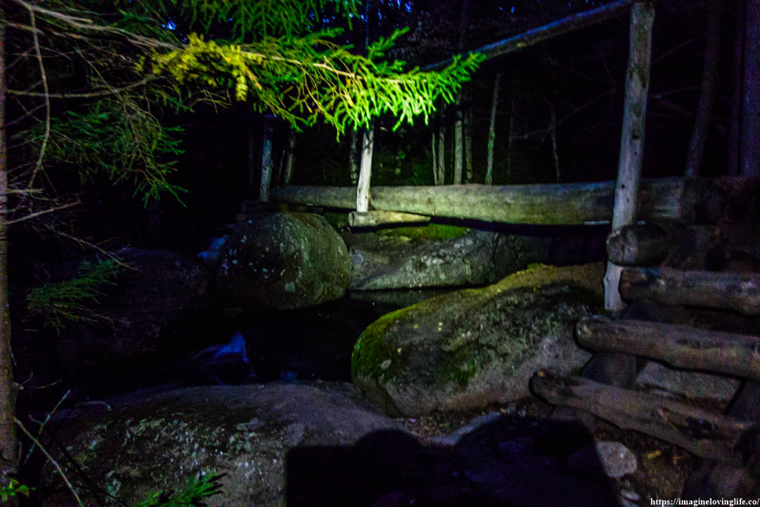
High Water Bridge
Van Hoevenberg Trail Going Up
After crossing the river, I found myself at the start of the ascent. The trail just kept going up from here as the flat footpaths were gone, all that was left was to ascend or climb up the mountain. I put my hiking headlamp back to my backpack as the morning light was enough to light up my path.
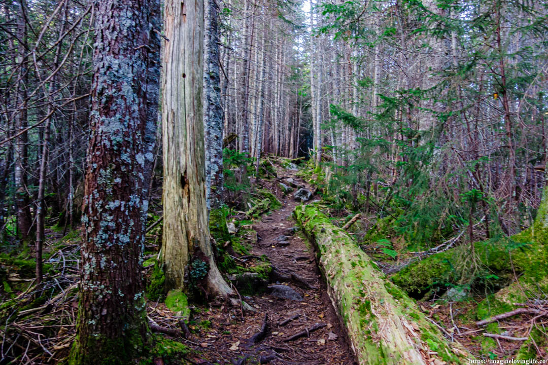
Van Hoevenberg Trail
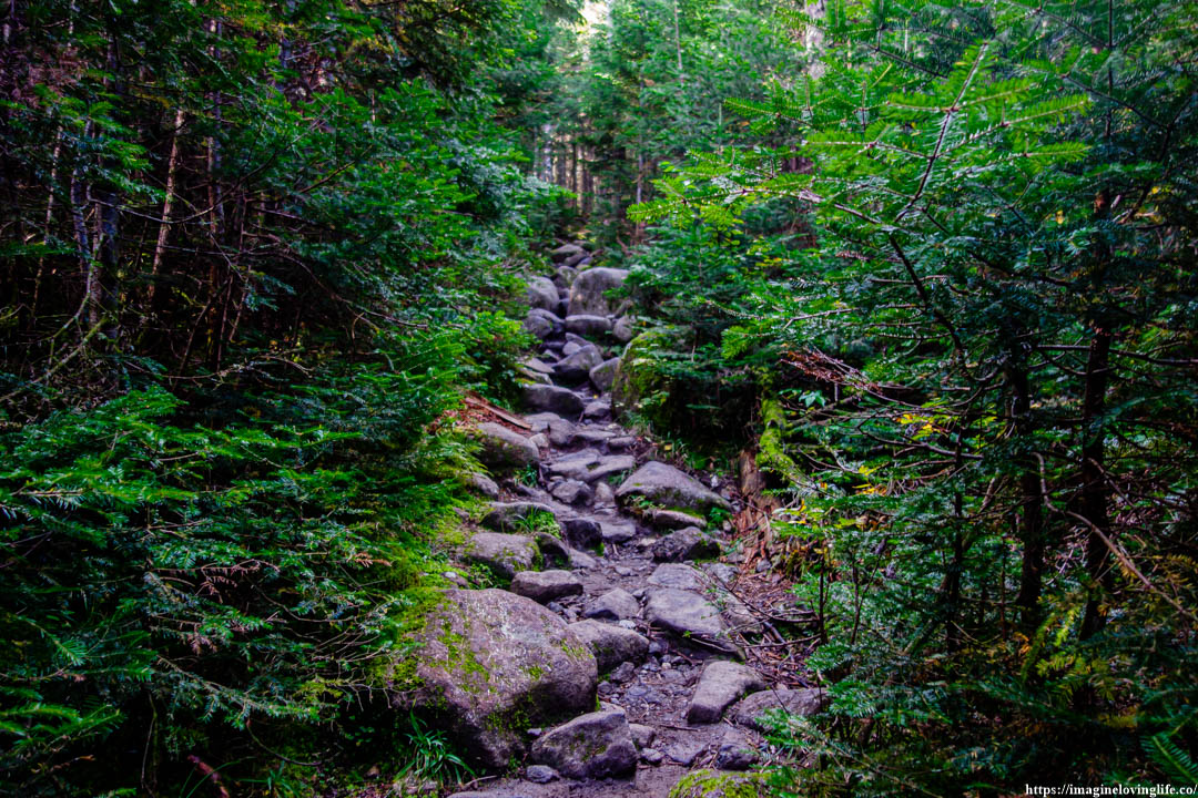
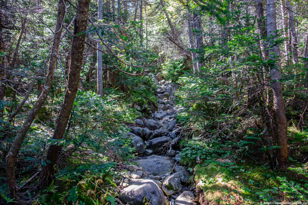
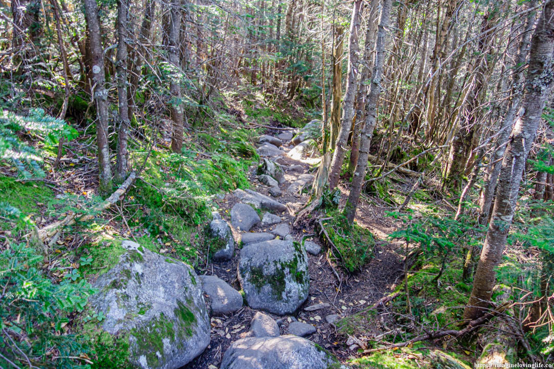
It was a footpath that was wet and damp, consisting of rocks and boulders of varying sizes scattered through out the trail. I happily took a step upwards as my body still felt good and fresh, ready to tackle more distances and more elevation gains.
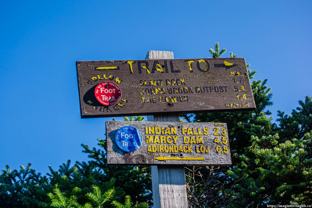
Intersection
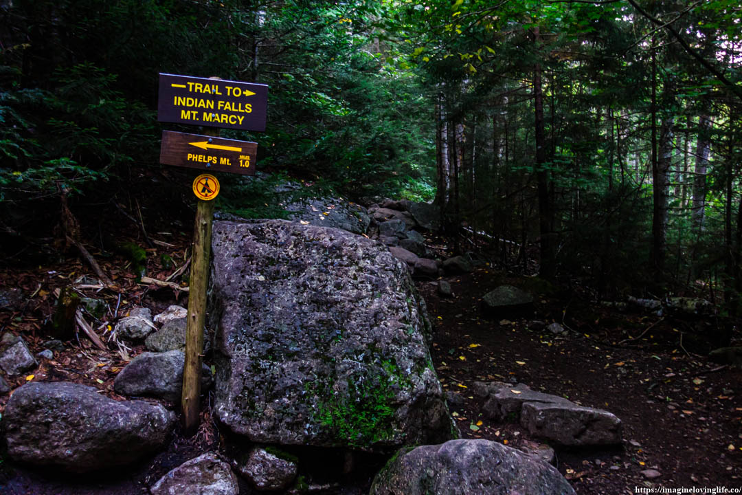
Phelps Intersection. Next intersection would be Table mountain and Indian Falls.
Van Hoevenberg Trail
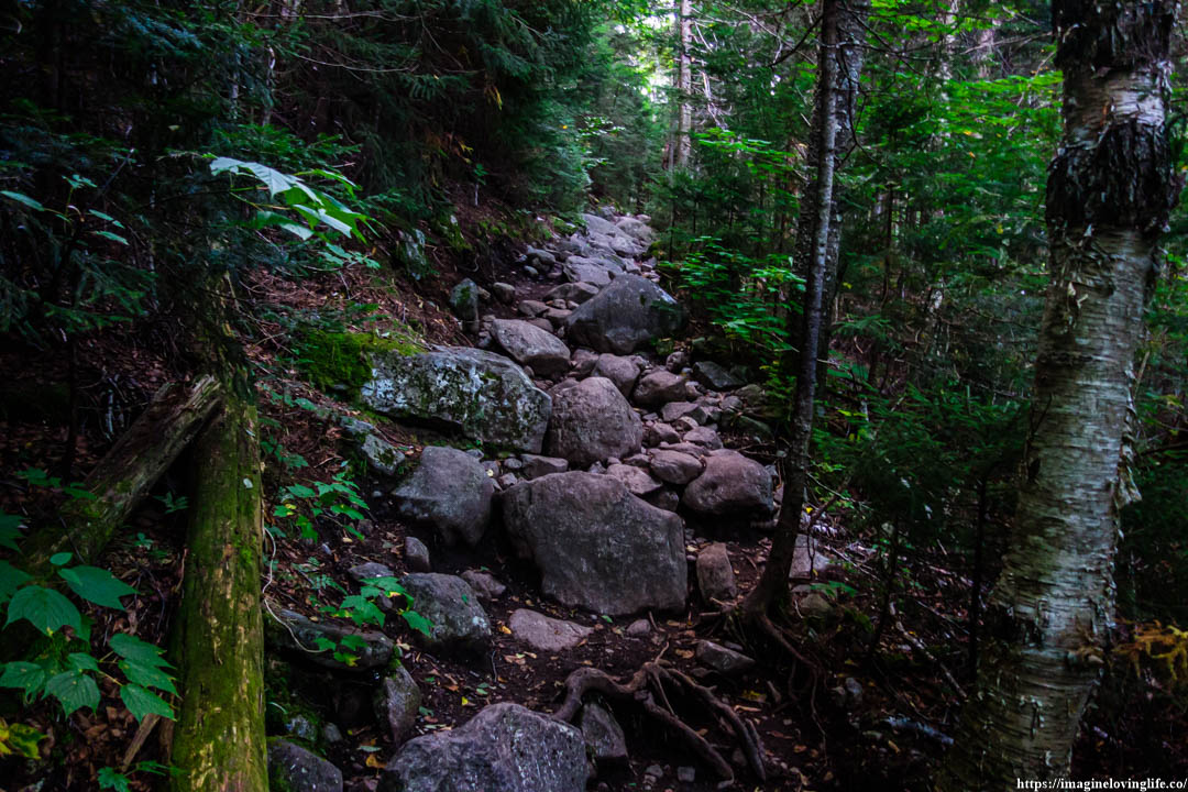
It was a footpath filled with rocks and boulders, very similar to the footpath in Cascade Mountain. I adjusted my hip belt, making sure that it was properly strapped on my body and put my hands on the straps of the backpack to alleviate some of the pressures from my shoulder. The ascent was steep that I noticed my pace slowed down considerably but there was no time to rest, all I could do was try my best to make sure that my backpack was properly strapped on that my body would have an easier time carrying it.
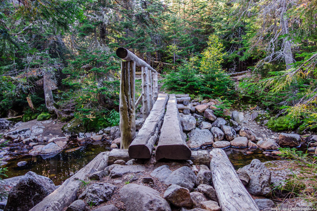
Bridge
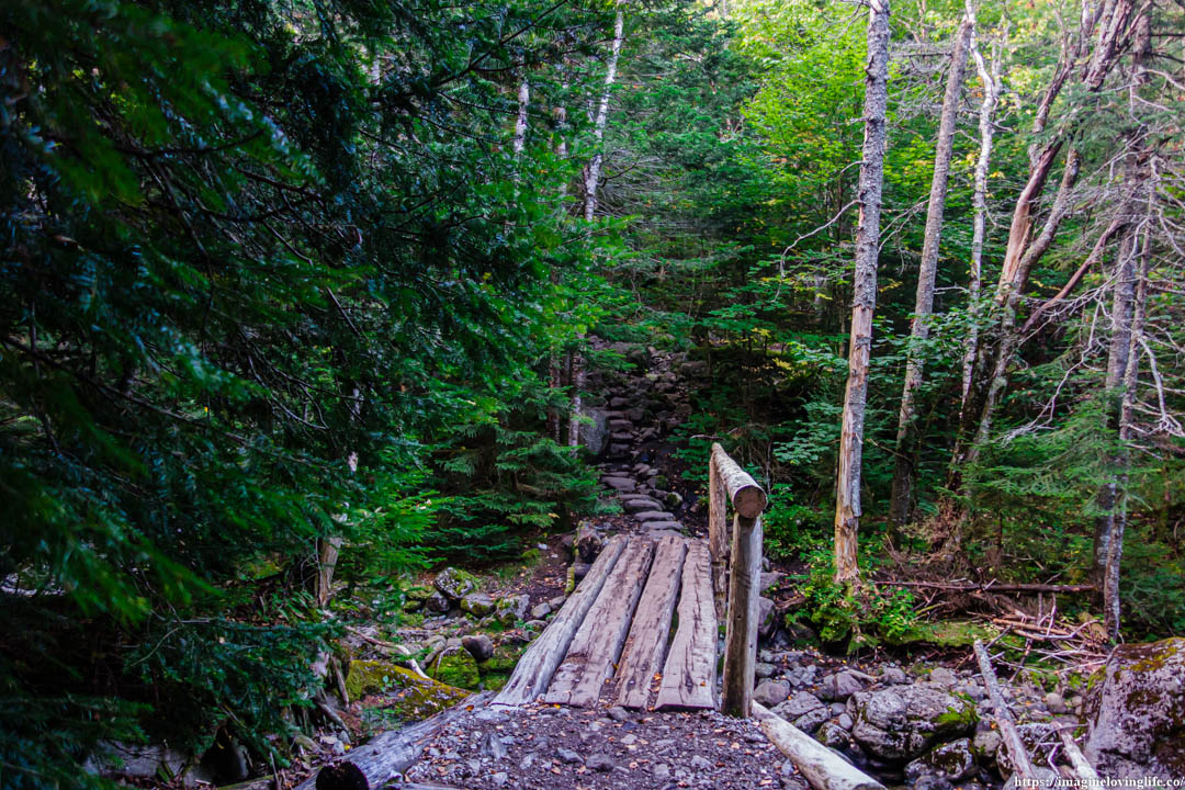
A bridge that I had to cross.
Van Hoevenberg Trail
My breathing became erratic as I was huffing and puffing really badly. The ascent was non-stop and it was taking a toll in my body as fatigue was gradually accumulating. I checked my body and I still felt good enough to continue my ascent but at some point I also knew that I had to rest.
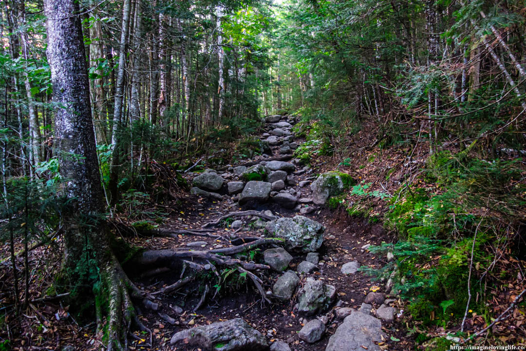
Van Hoevenberg Trail
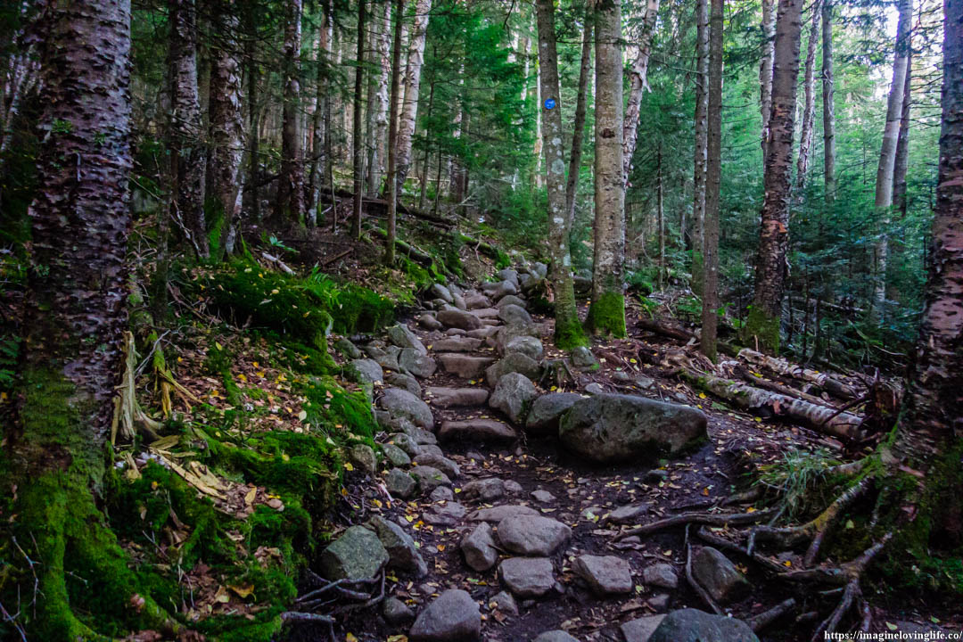
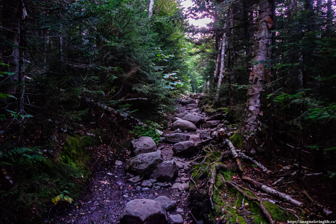
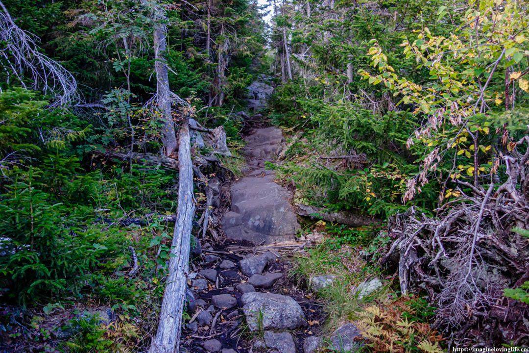
It was the same footpath since the start, just a lot of rocks and boulders. Nothing too tough nor difficult as the trail seemed very well-maintained. There were various parts of the trail were the stones were lined up that they looked like a set of stairs, making it very easy for hikers to get up or make progress in their ascent.
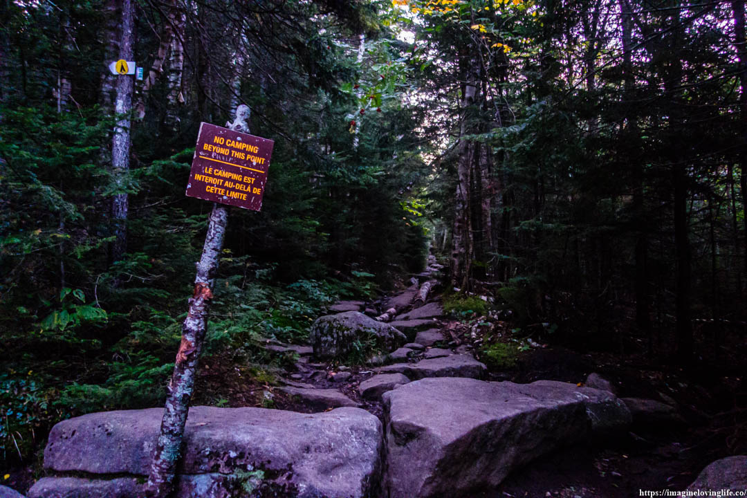
The Van Hoevenberg trail was very easy to traverse as it was very well-maintained but the constant ascent could prove difficult for beginners and tourists who wants to conquer the highest mountain in NY which is Mount Marcy.
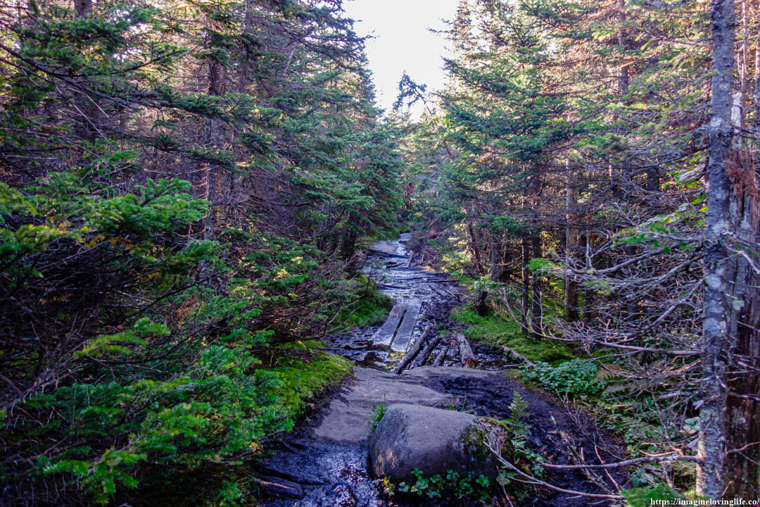
Wet
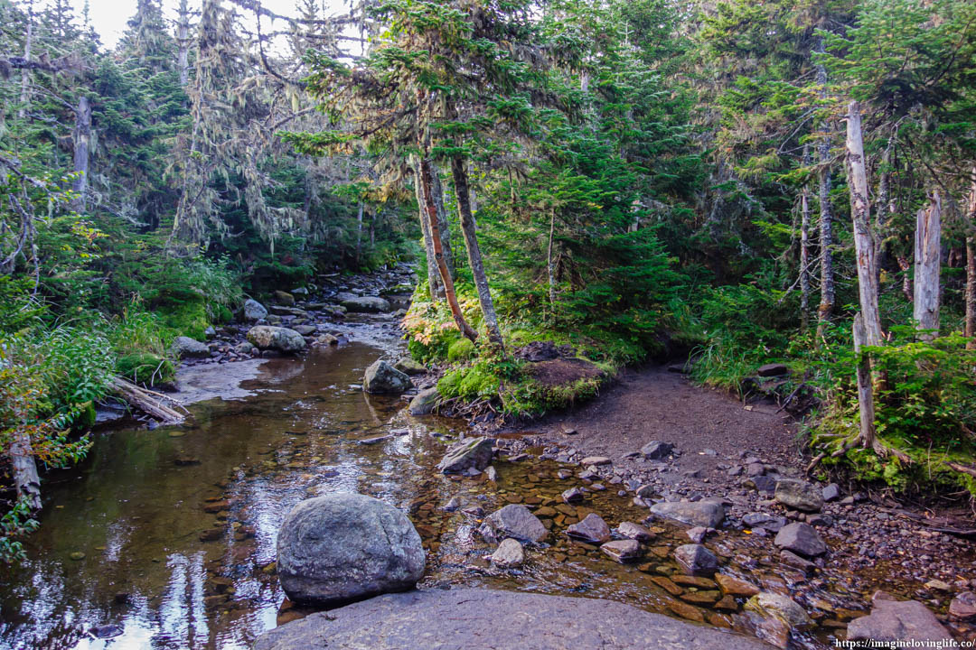
The footpath became wet, filled with pools of water which was a good sign actually. It was a sign that there was a river nearby and the water was overflowing a little bit. There was only one river in here that I remembered which was Indian Falls.
Indian Falls Sign
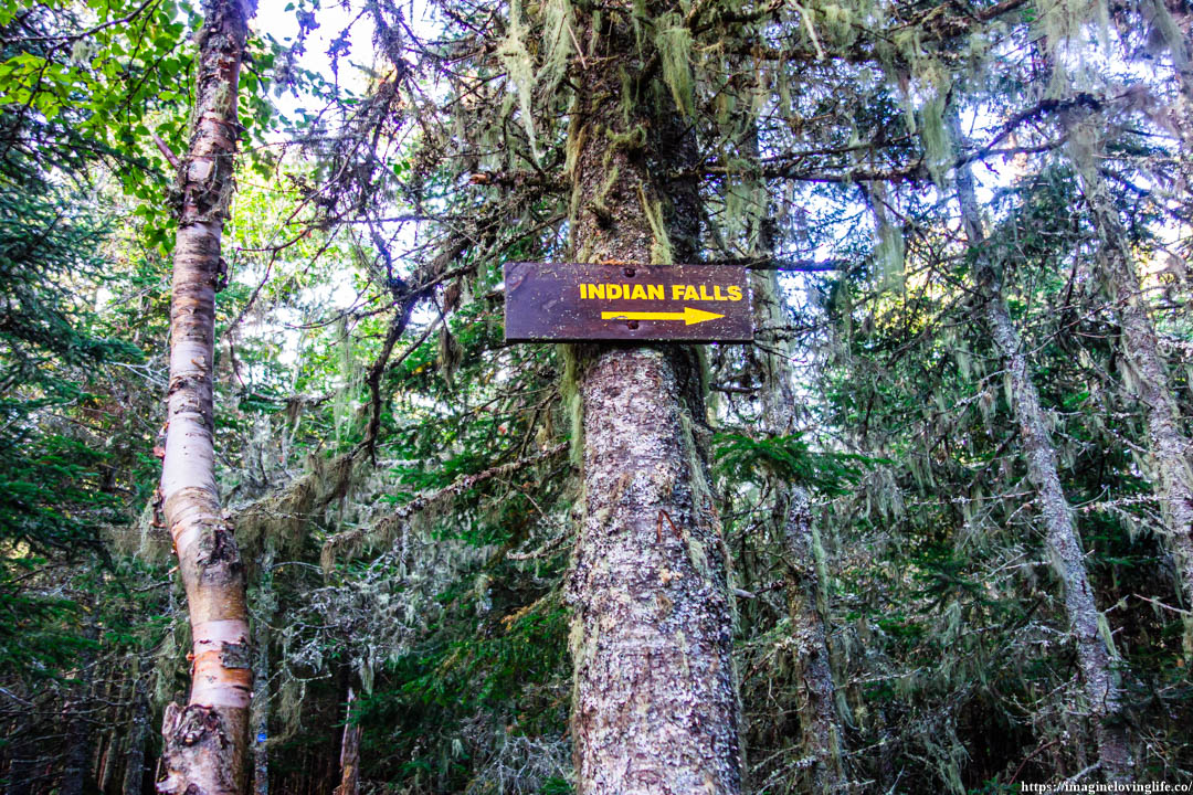
Indian Falls sign.
Indian Falls
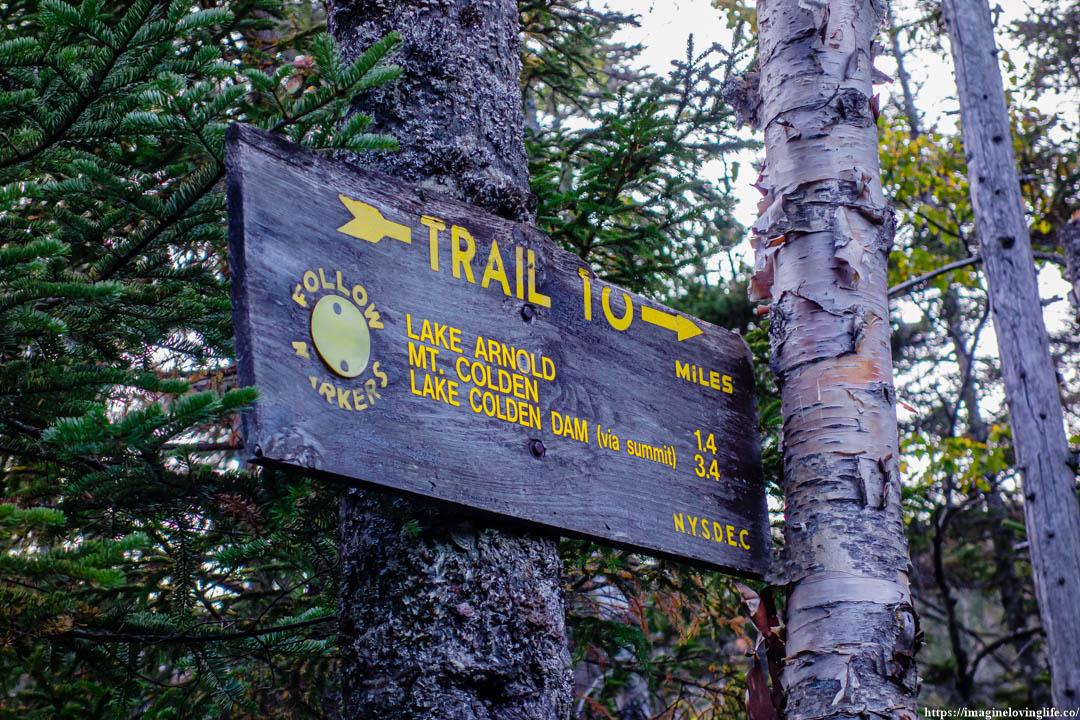
Intersection
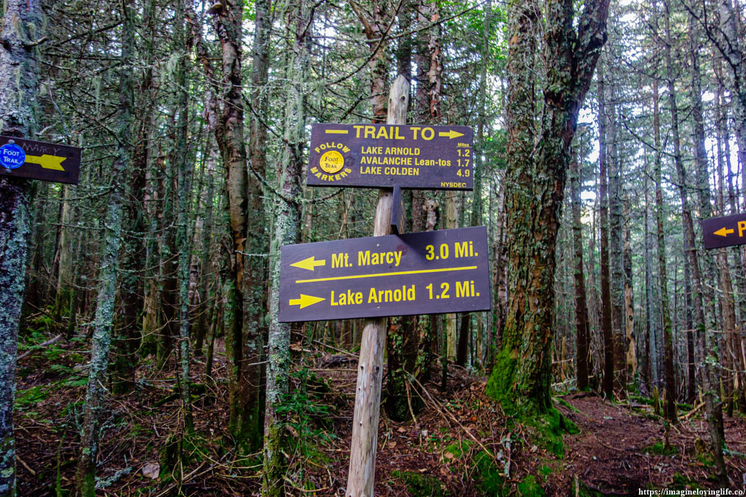
I was happy when I saw that I only needed 3 more miles in order to get to the top of Mount Marcy.
Van Hoevenberg Trail
The steep rocky footpath kept on going but my legs felt good and renewed that my mind was no longer complaining and no longer thinking about resting. I kept moving upwards one step at time. There was a little bit of sense of urgency on my my part also as I planned to hike three peaks today and would love to be back to the parking lot before night falls.
Van Hoevenberg Trail
Opening
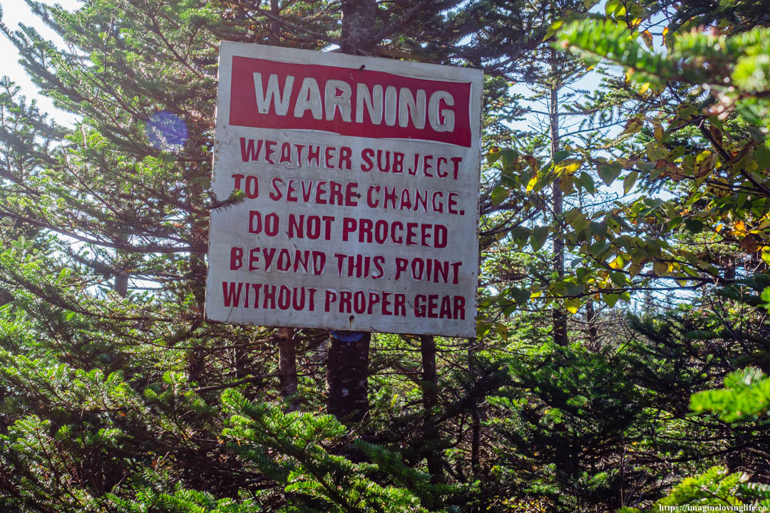
Warning Sign
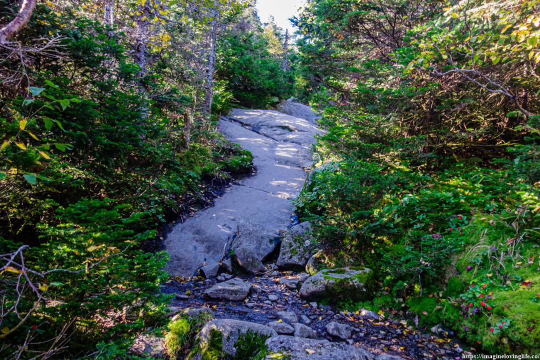
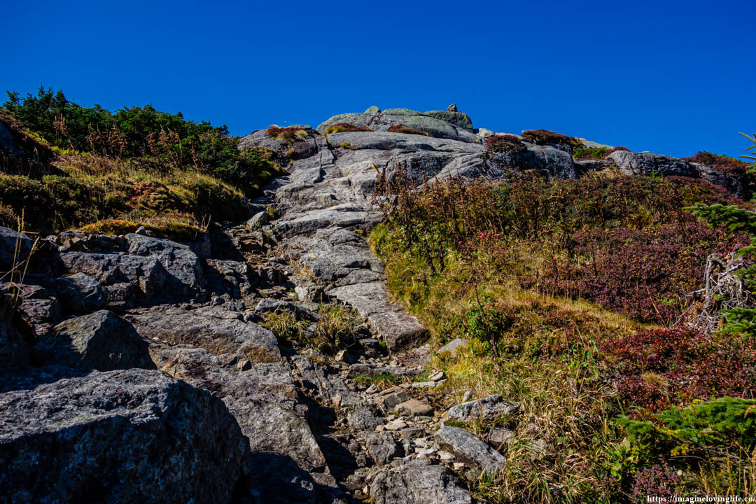
Trail Going Up
The ascent became a little bit more gentle and not as steep as before. I kept on going, kept moving, kept making progress on my hike. The sense of urgency was still inside of me and I didn’t want to rest until I get to a viewpoint or until I get to Mount Marcy.
Sign
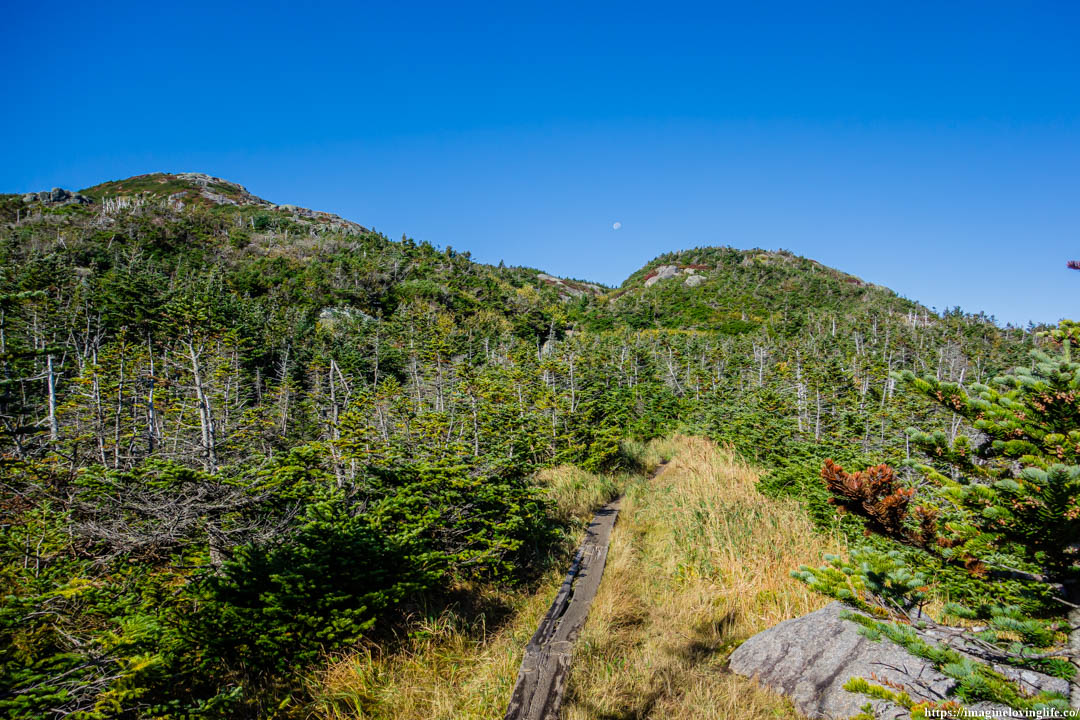
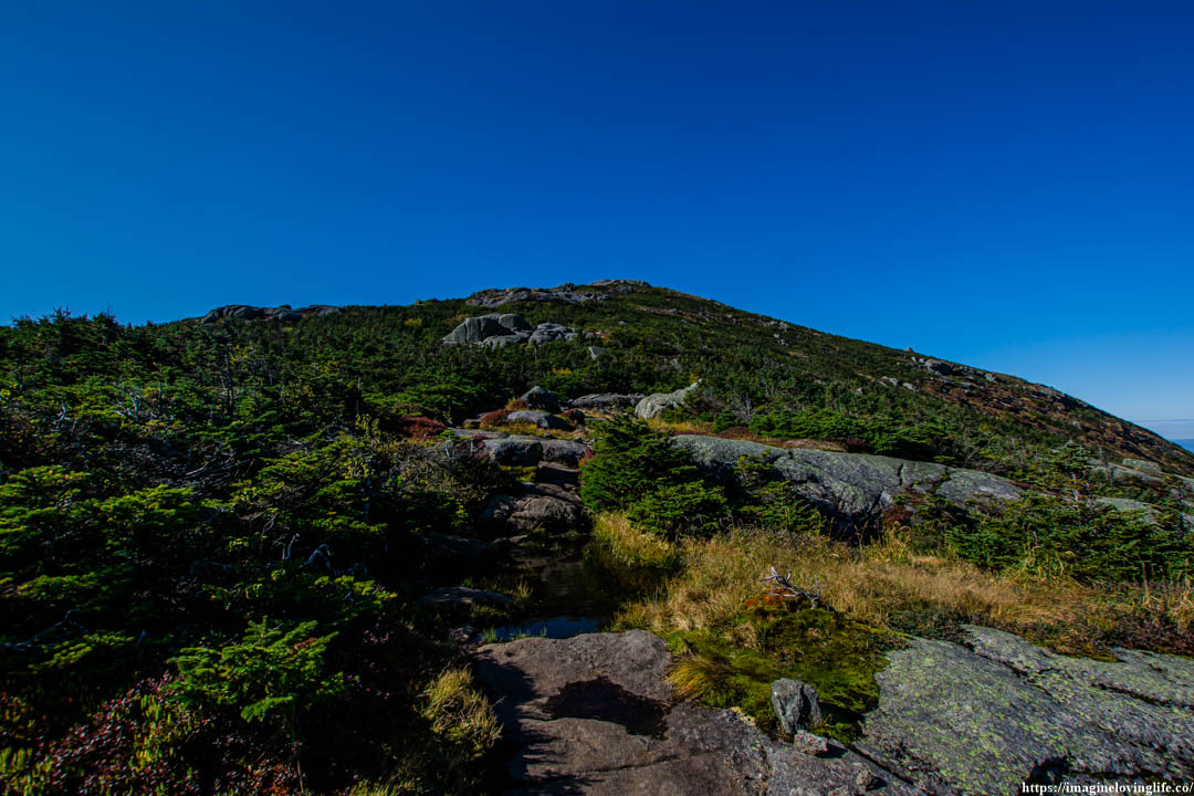
Trail Ascending
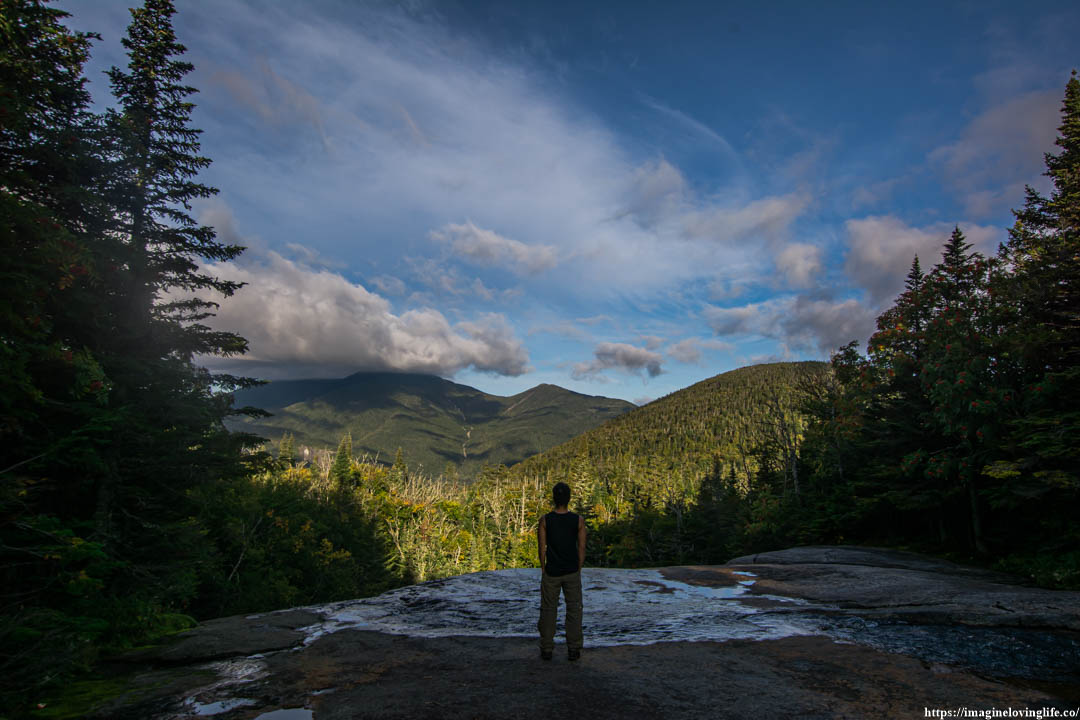
First Views
Opening
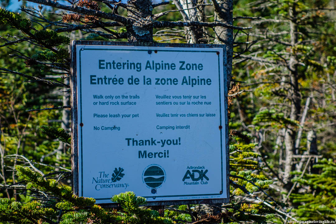
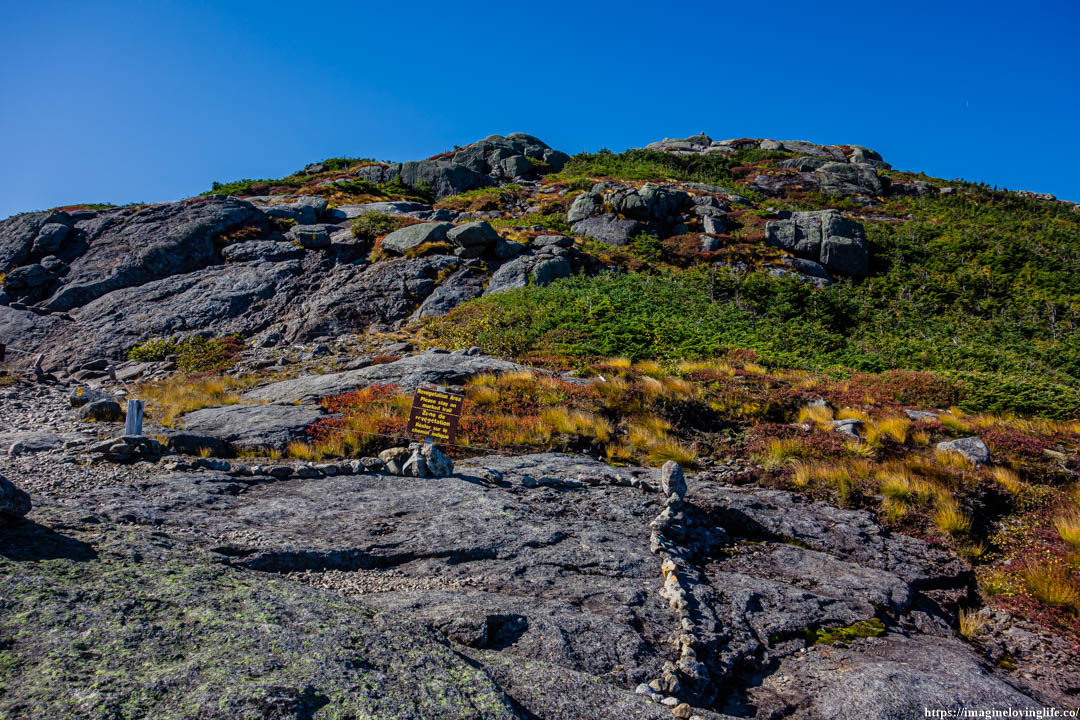
Endangered Plants Warning
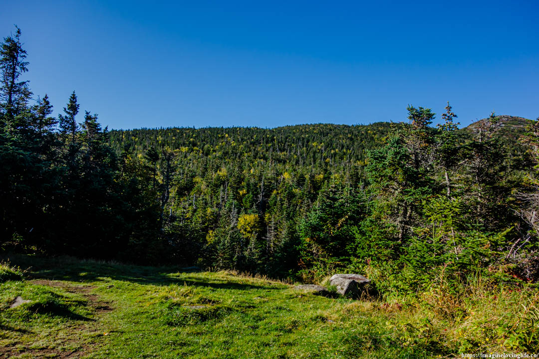
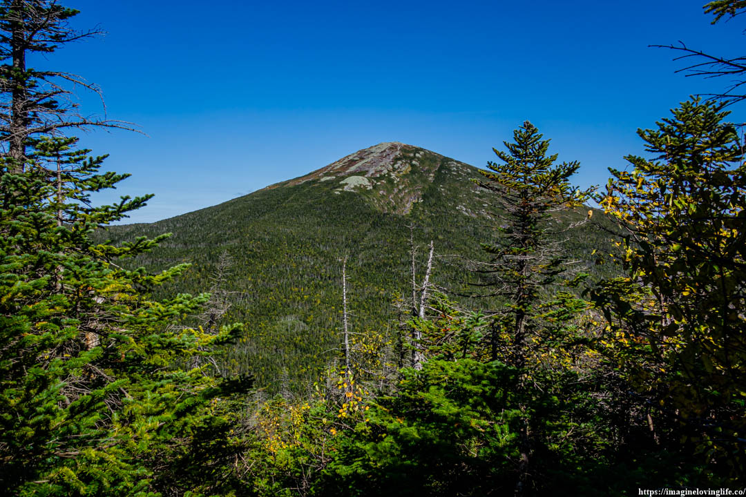
Mount Marcy In The Distance
Van Hoevenberg Trail Going Up
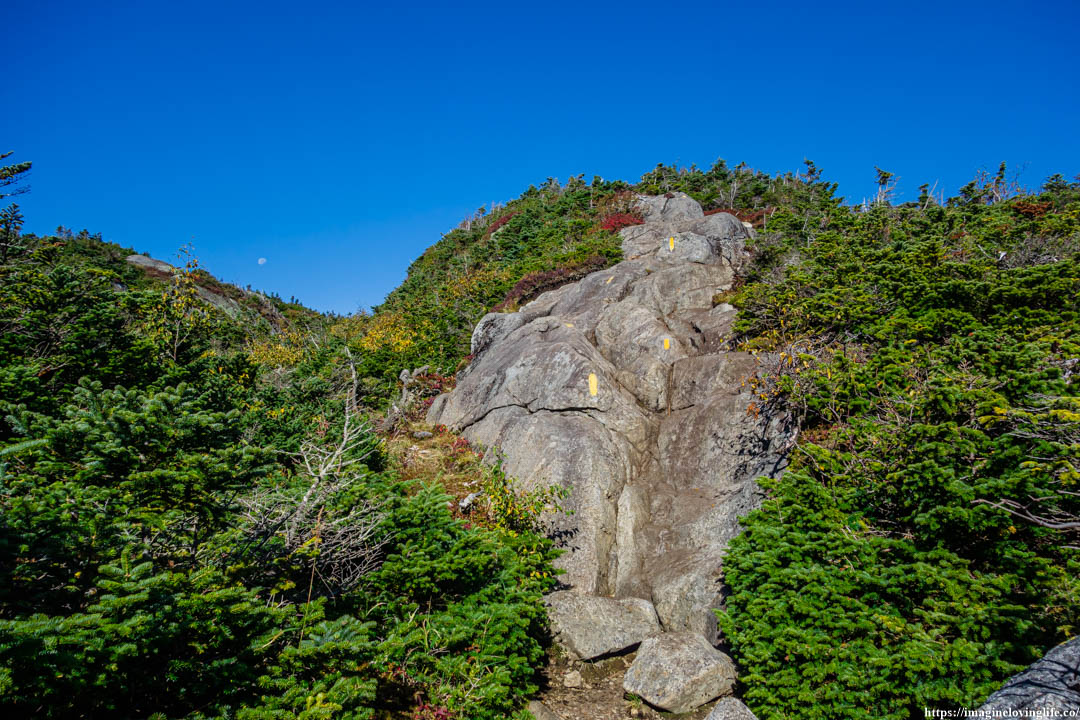
I raised my left hand to grabbed the edge of a rock, it felt sturdy and strong, a good rock to latched myself onto so that I could get up the mountain. I then used my legs to propel my body upwards. There was an easy way to climb up this trail but chose to climb it using my hands and legs instead. It had been a while since I rock climbed and using my hands to climbed up this mountain felt good to the soul.
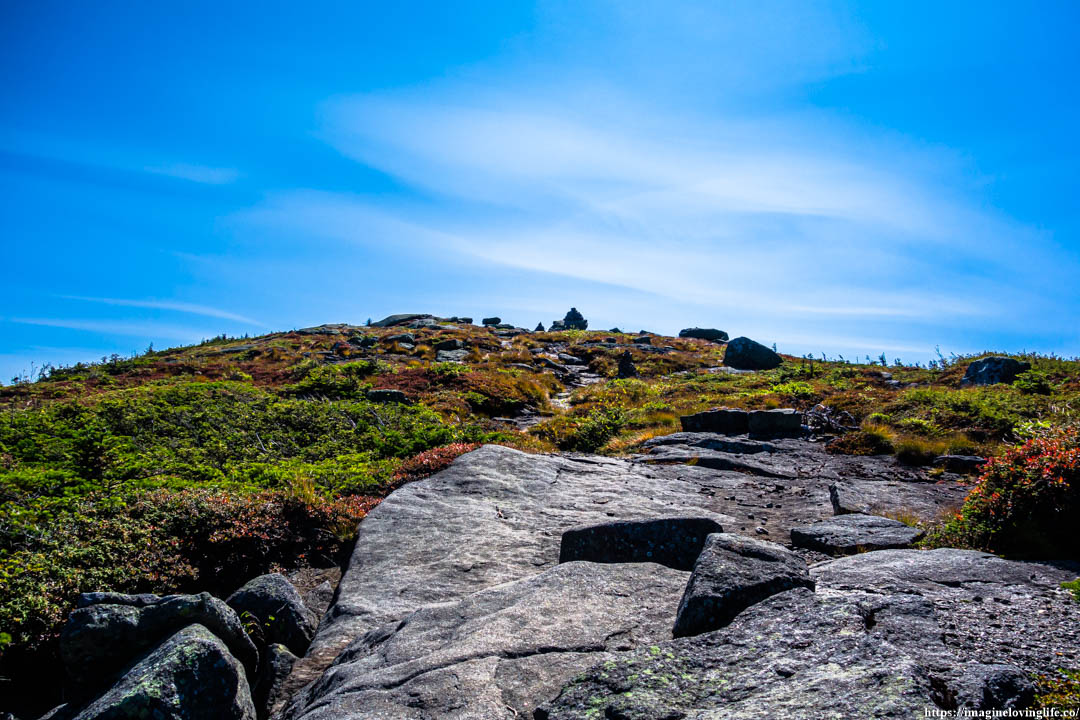
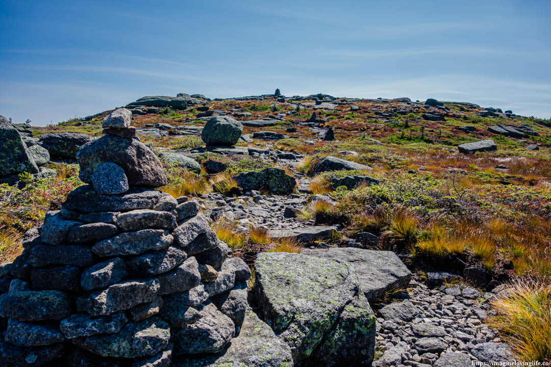
Cairns
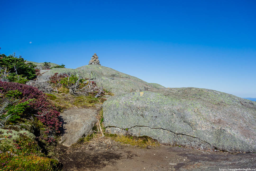
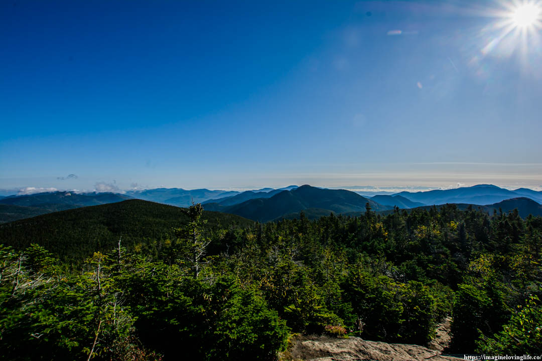
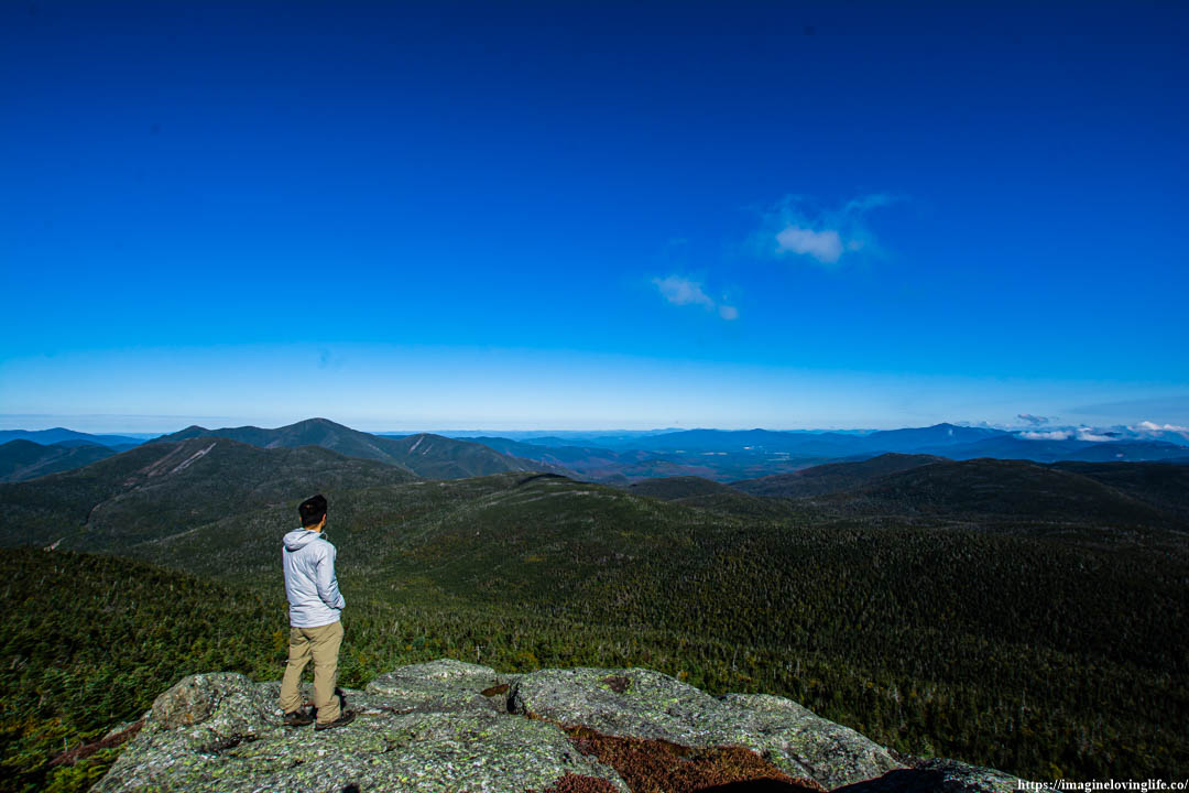
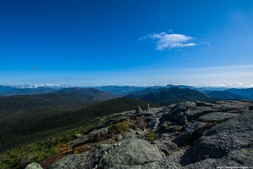
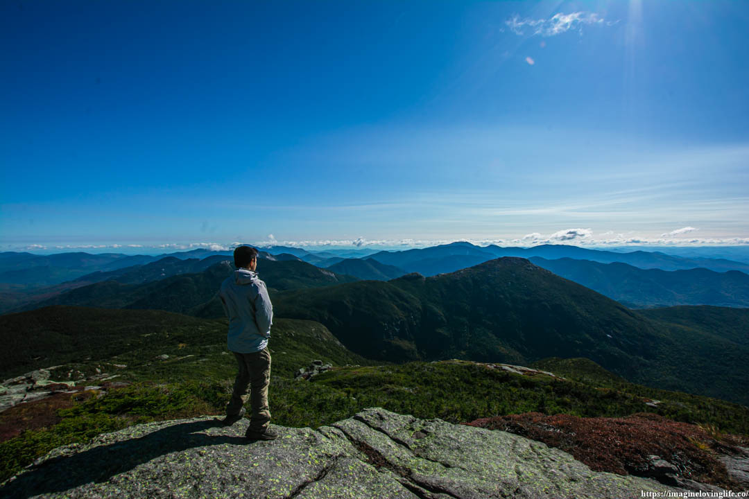
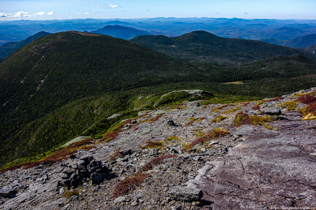
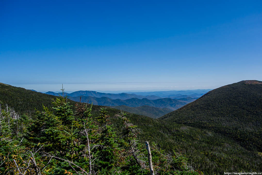
Mount Marcy Trail Lookout
Mount Marcy Trail Views
Mount Marcy Trail Scenery
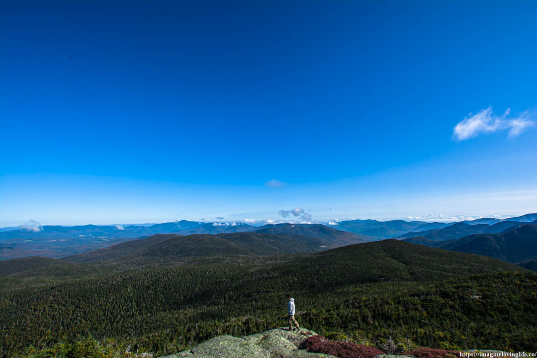
Mount Marcy Trail Viewpoint
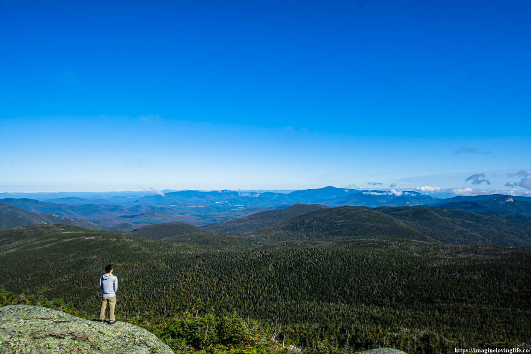
Mount Marcy Trail Mountains
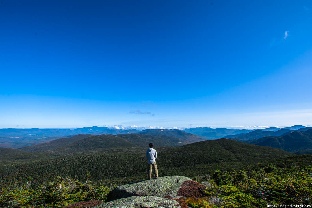
Mount Marcy Trail Views
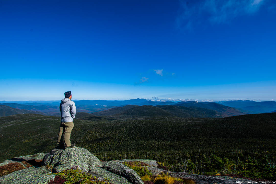
More Views
Going Up
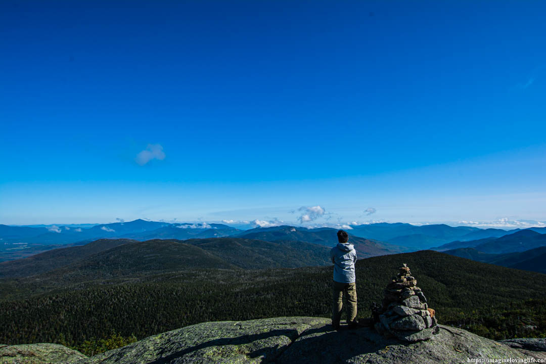
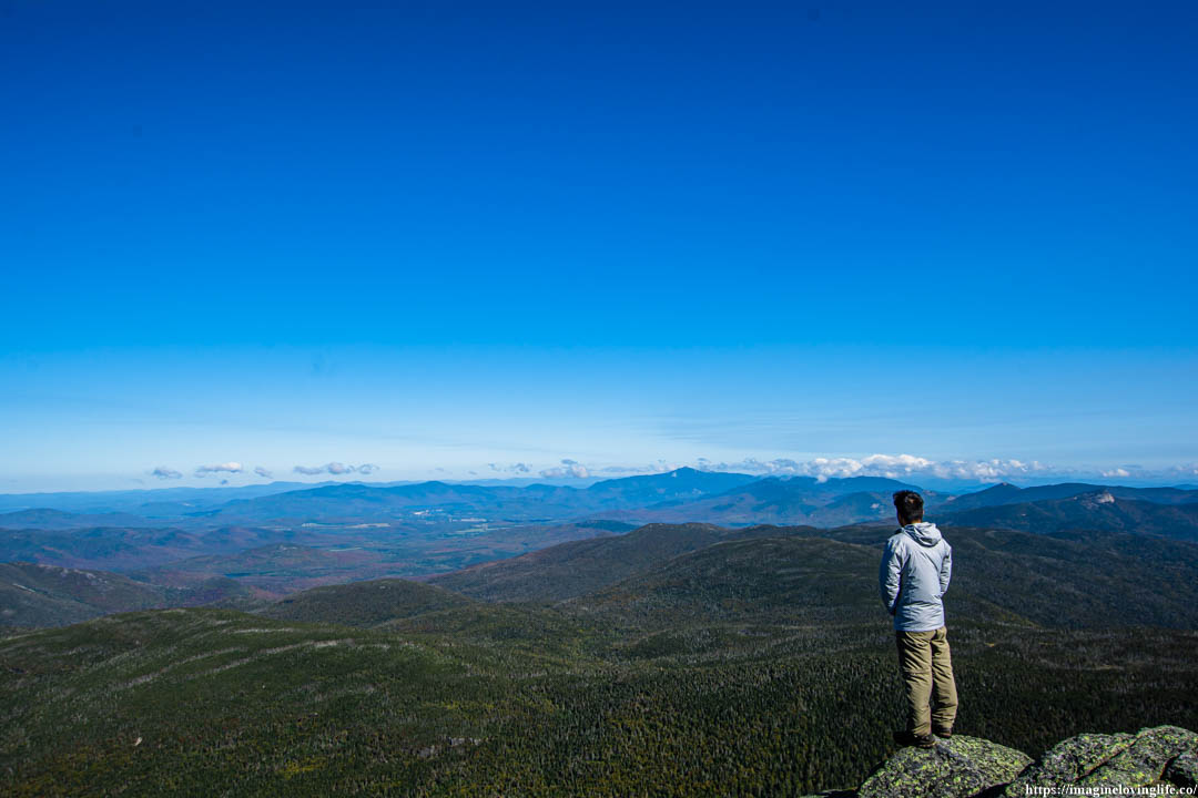
I could see the top of Mount Marcy from this point on. It was so close that I could taste the feeling of triumph with each step that I made. But passion had engulfed my whole being and I knew that it would take me a while before I get there as everything inside of me wanted to take pictures, enjoy nature and appreciate my surroundings with each breath that I take.
Looking Back
More Views
Mount Marcy Trail
Going Up
I kept going up, zigzaging through the mountain, doing my best to follow the trail and avoid the plants that were thriving at the sides.
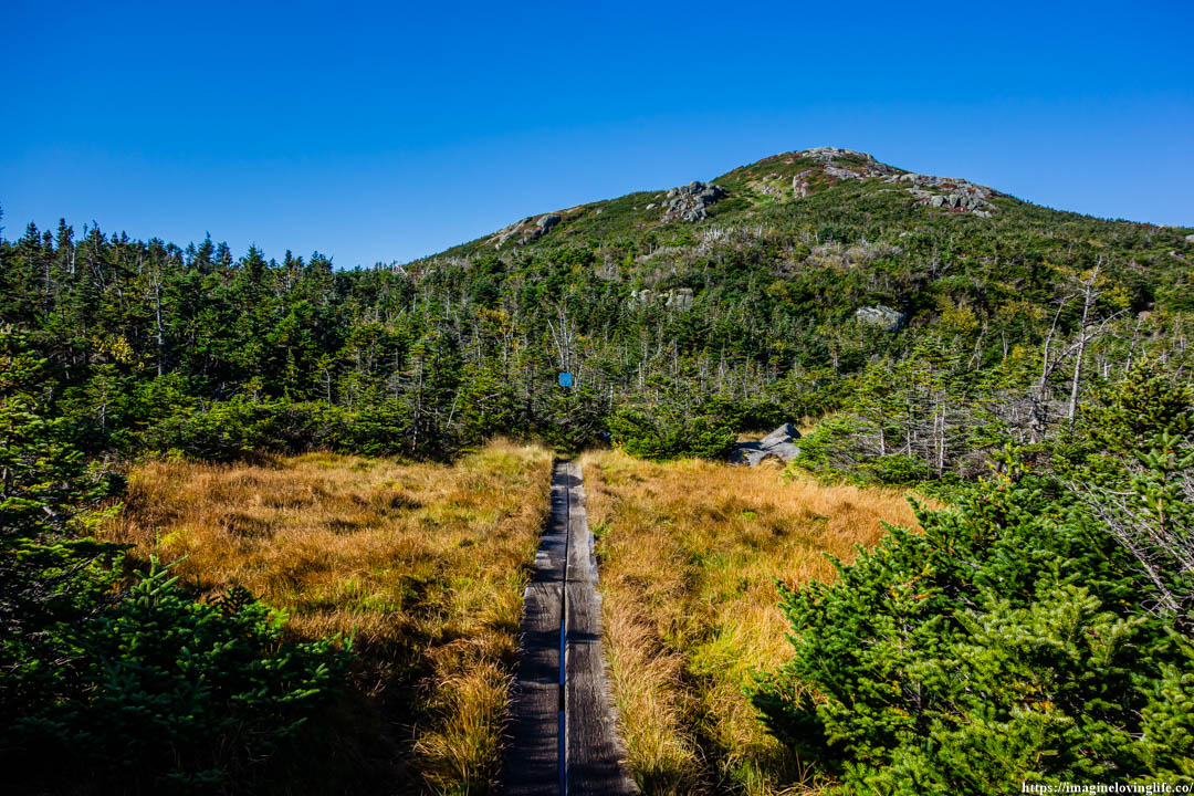
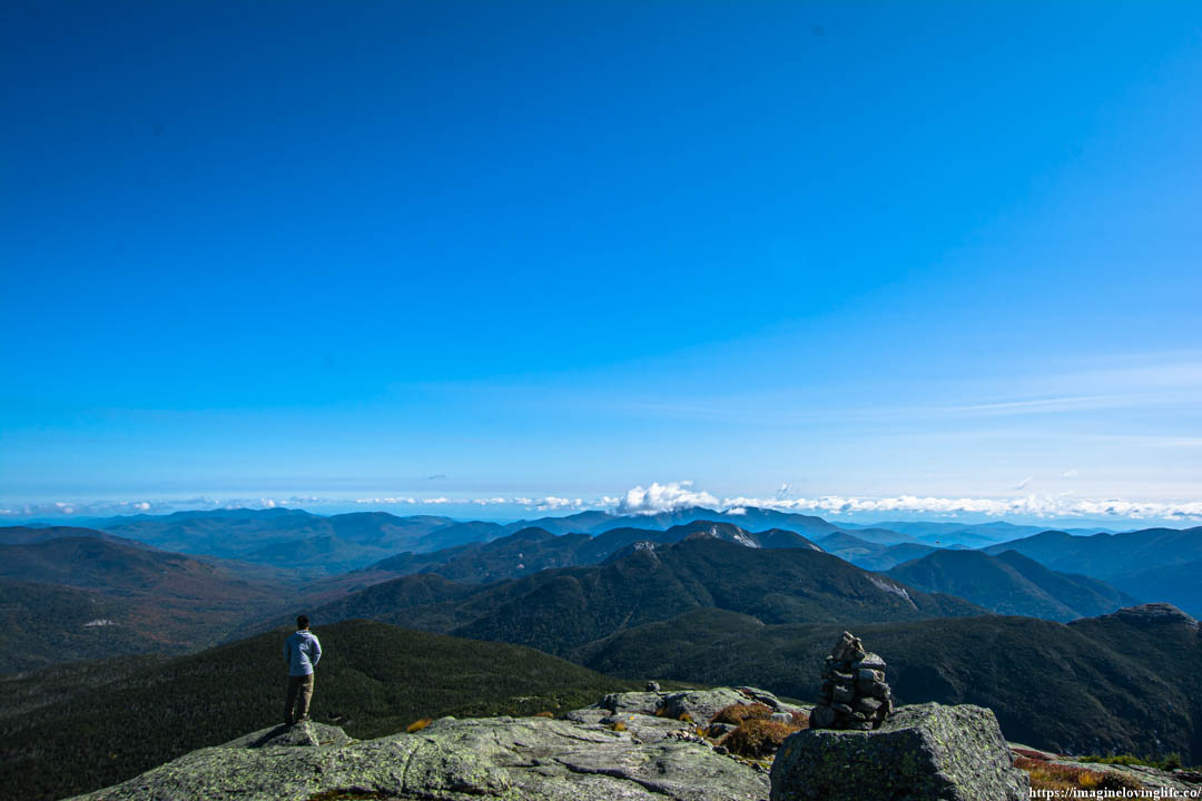
Almost At The Top
It was a familiar sight as I had been here before. Before, this place was shrouded in a gray smoke but now I could see the beautiful sky very clearly. I happily took a step forward knowing that I was about to conquer the highest mountain in NY for the second time.
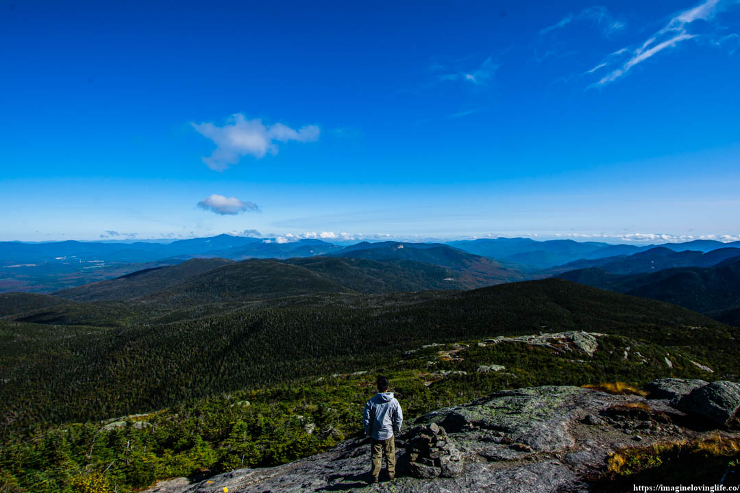
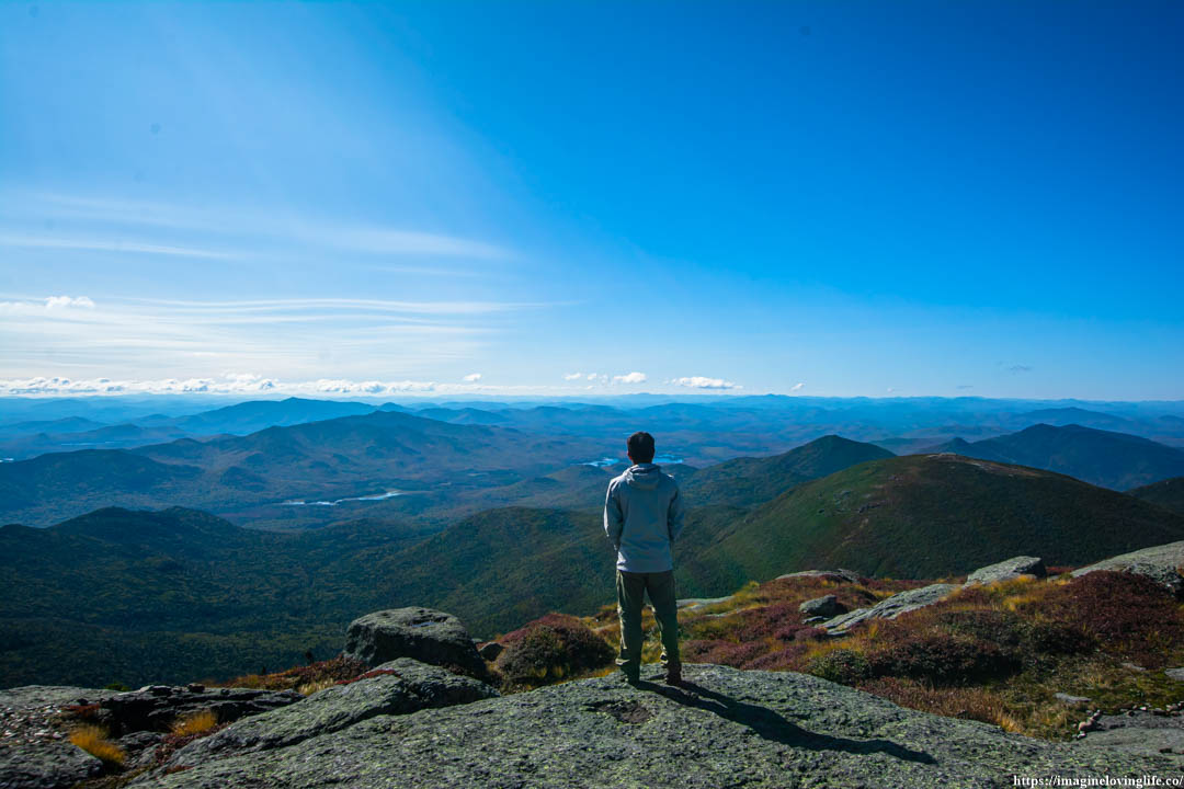
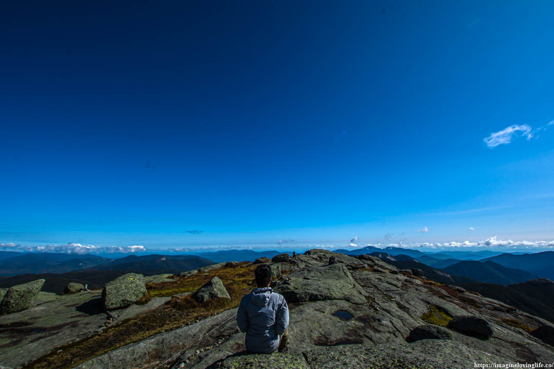
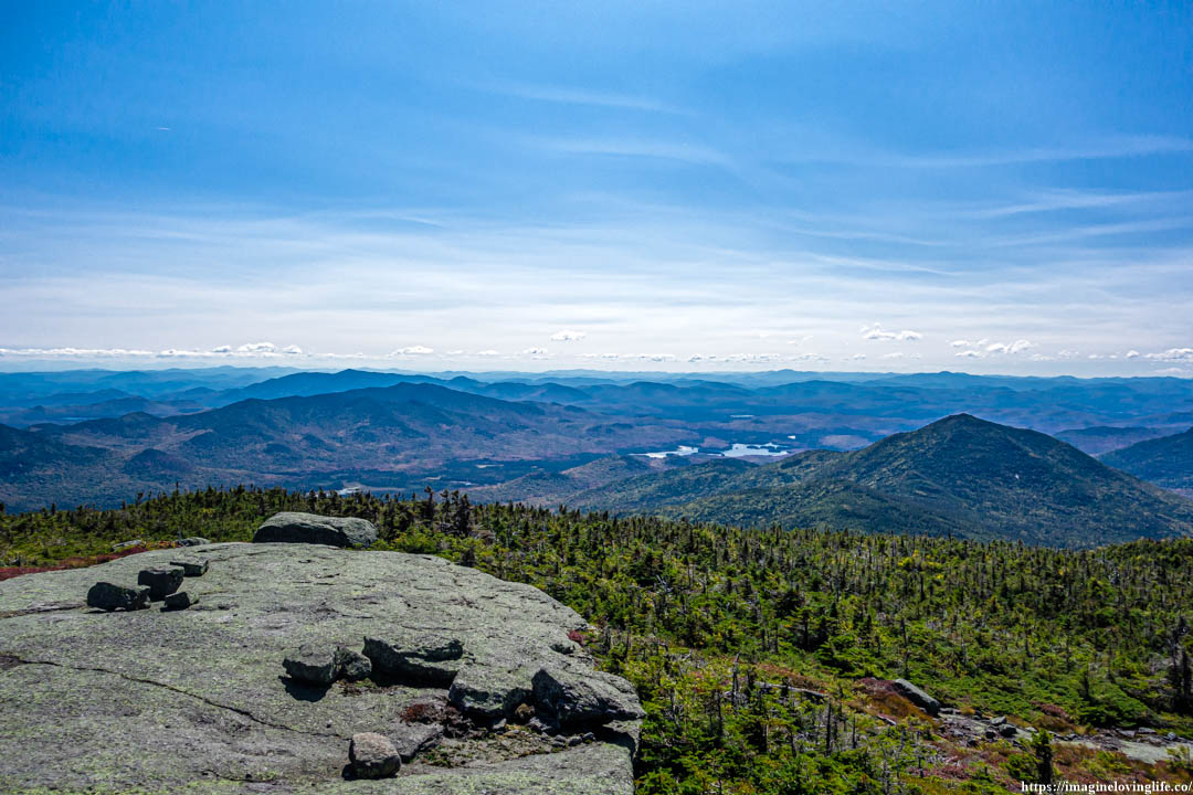
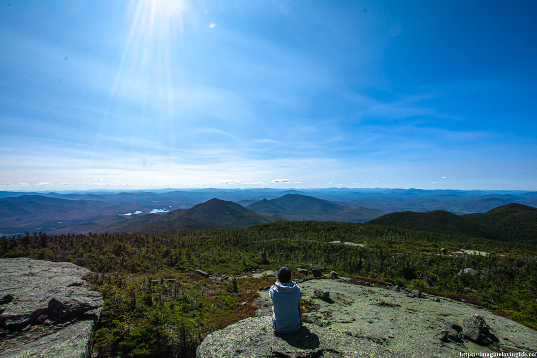
Mount Marcy Lookout
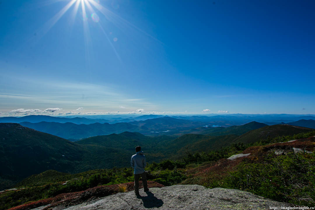
Mount Marcy Views
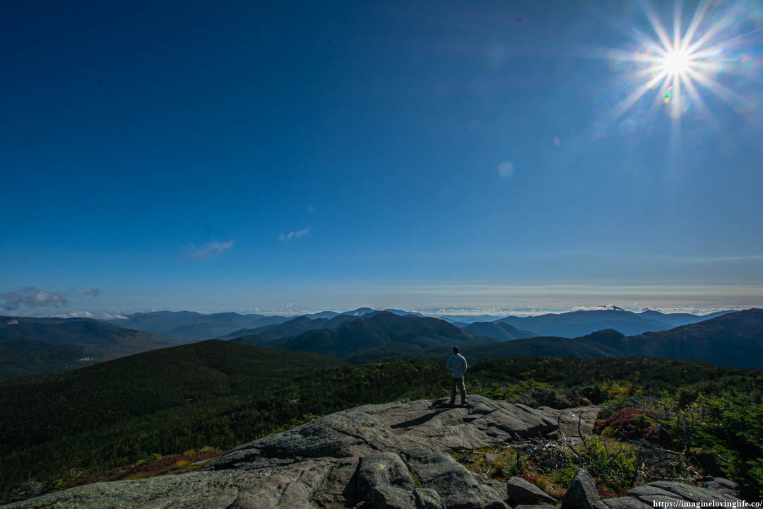
Mount Marcy Top Viewpoint
Mount Marcy Scenery
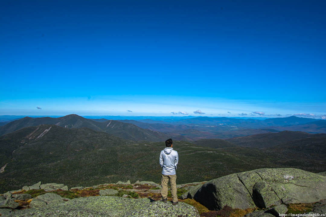
Walking To The Center
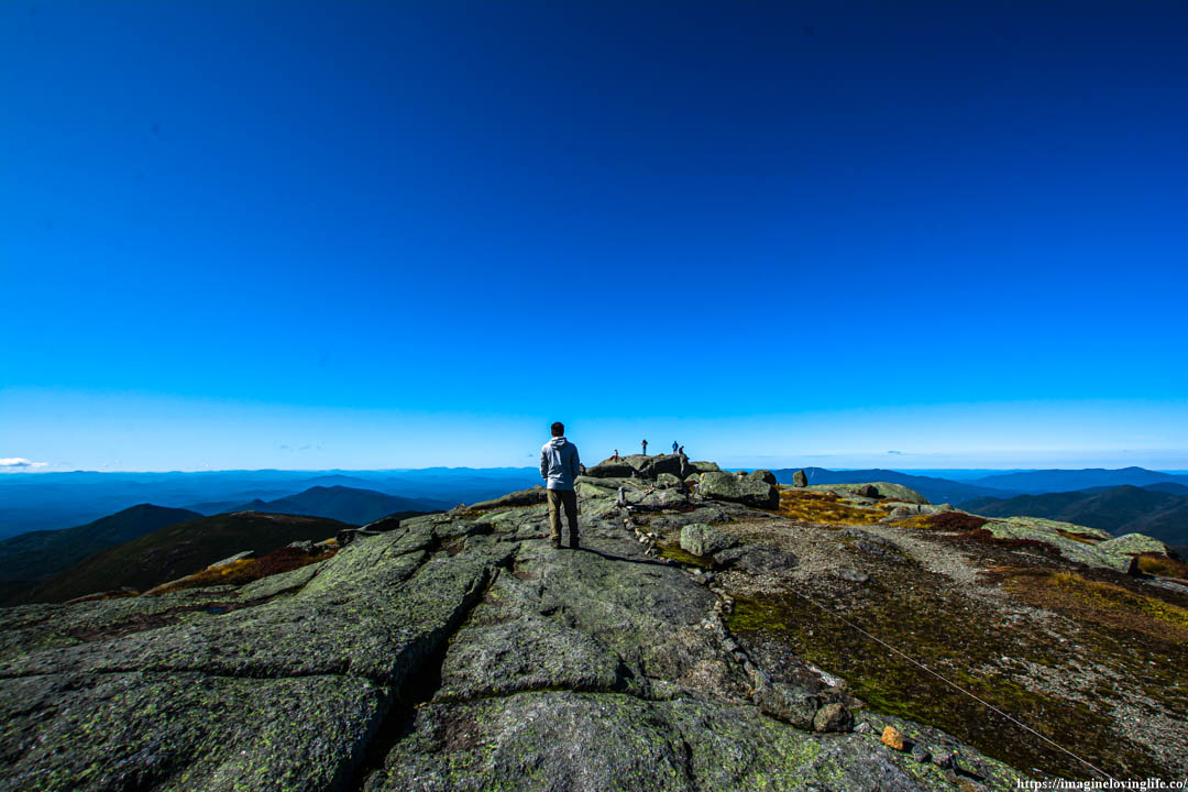
Mount Marcy Views At The Center
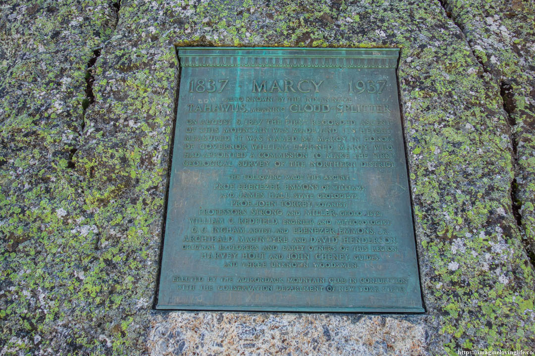
Plaque
More Views
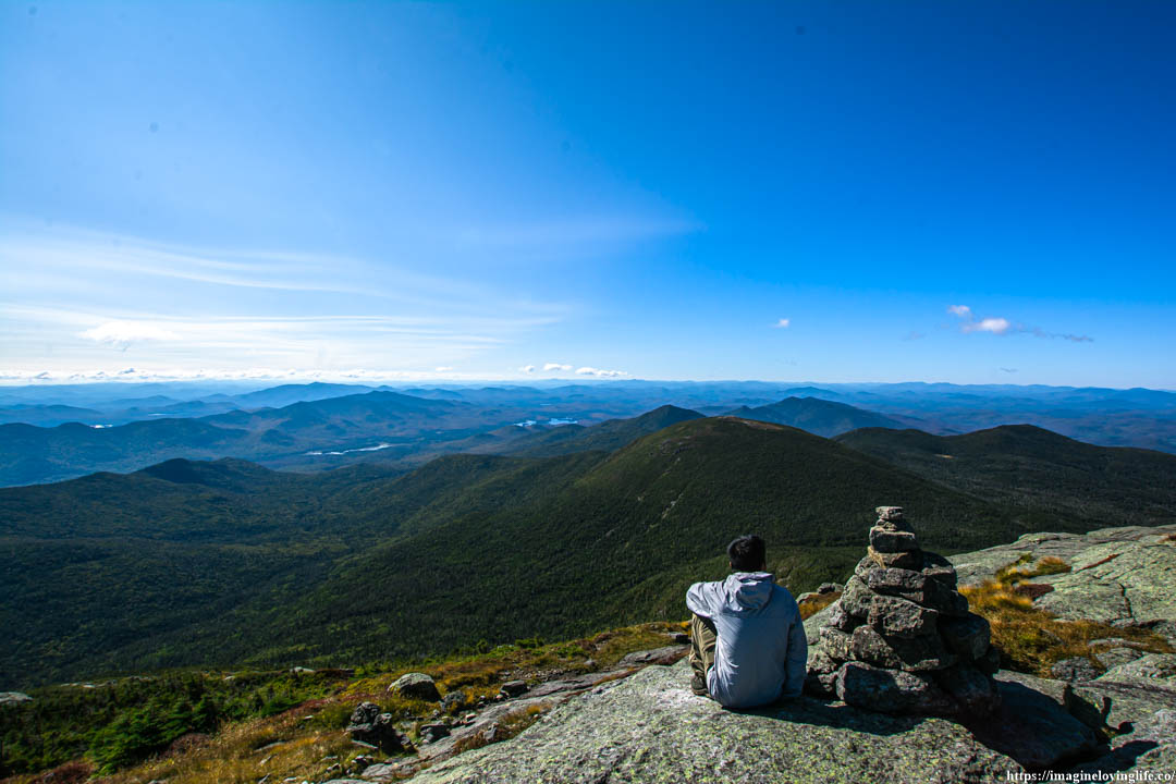
Sitting Next To Cairn Going Down
Looking Back
Mount Marcy Trail
Mount Marcy Trail
Mount Marcy Trail
Looking Back
Mount Marcy Trail
Mount Marcy Trail
Intersection At The Bottom
Skylight Trail
It was a narrow trail filled with rocks that was very easy to traversed but the fatigue had accumulated in my body as such, I was making progress very slowly. The passion that was burning inside of me also became a dull flame that was practically gone, all that was left was the fatigue that I accumulated through out my body without realizing it.
I took a step upward with each step becoming more slugging after another. I only need 0.5 miles to get up the mountain but I was very tired at this point as if all of my energy was sucked out by the mountain without me realizing it.
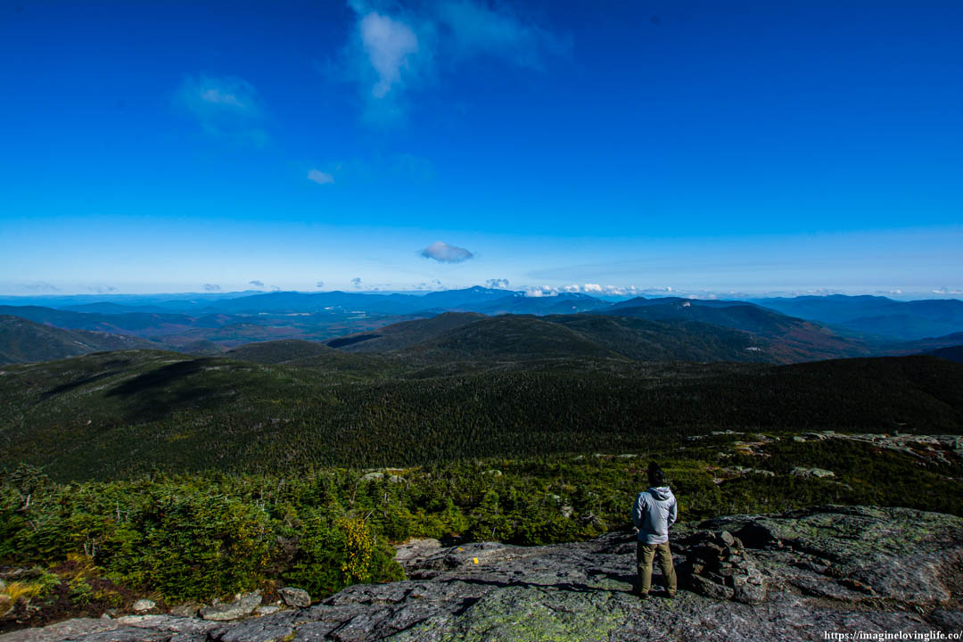
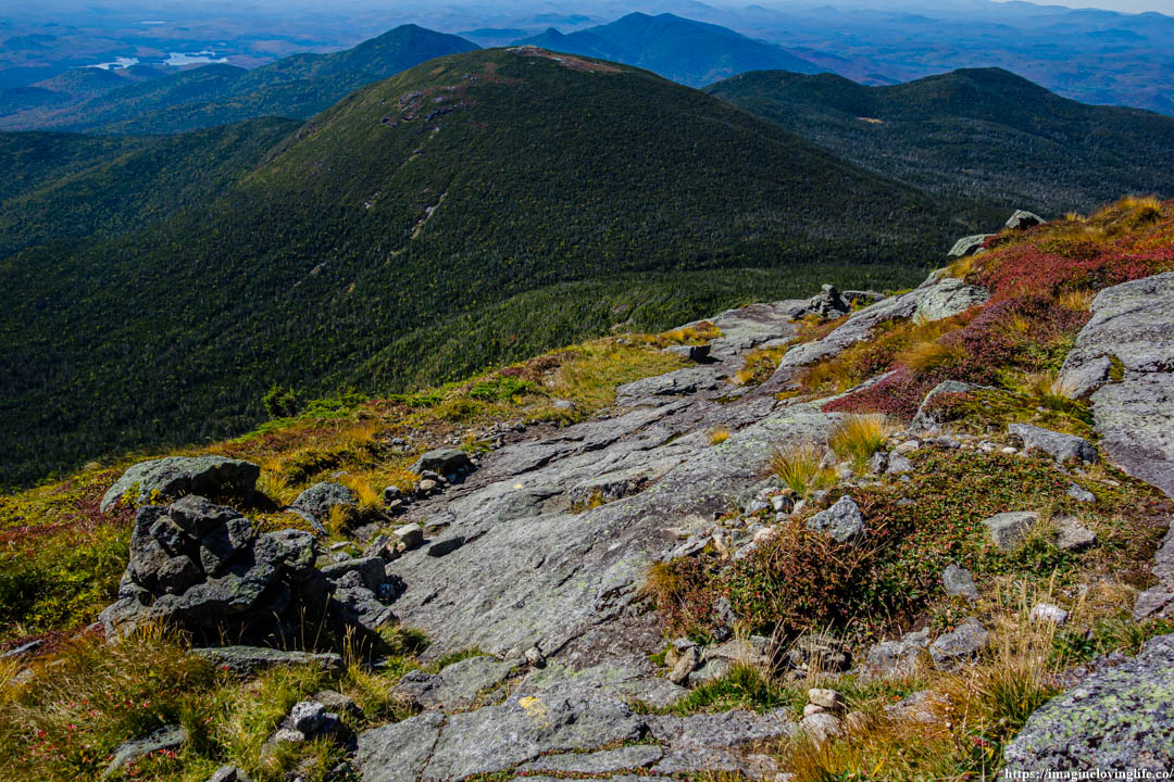
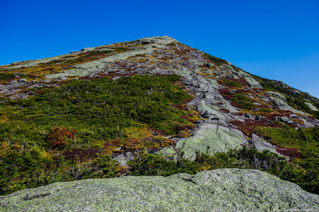
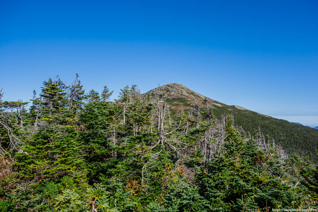
Mount Skylight
Mount Skylight
Mount Skylight Scenery
Mount Skylight Lookout
Trail Going Back
Intersection
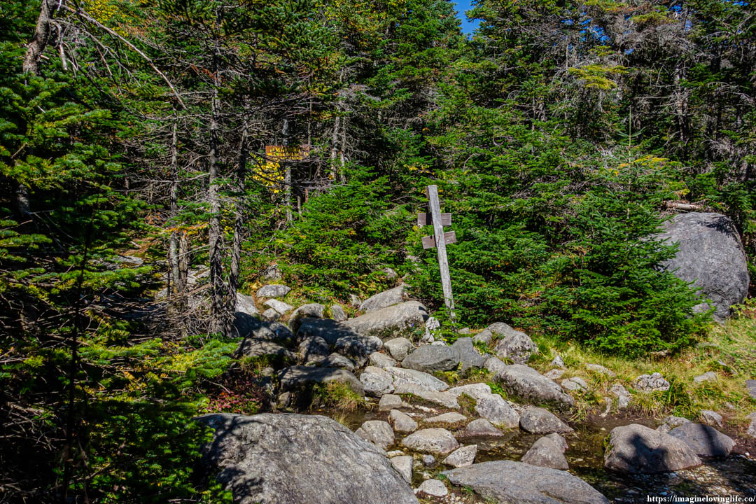
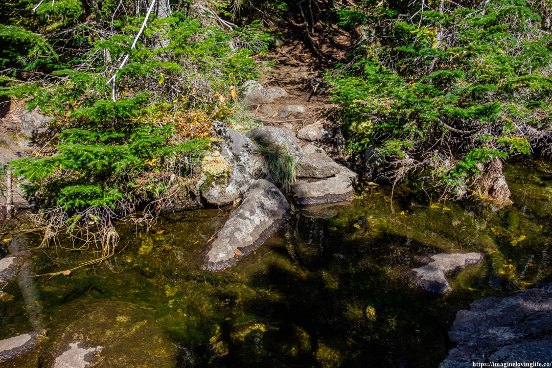
Trail Going To Lake Arnold Trail
Cairn
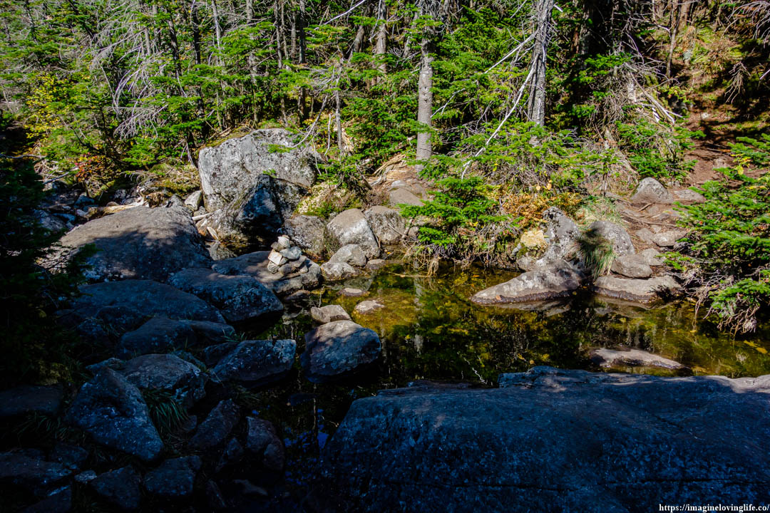
Path To Gray Peak
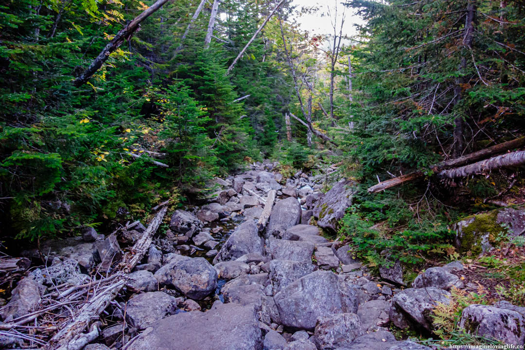
Unmarked Trail
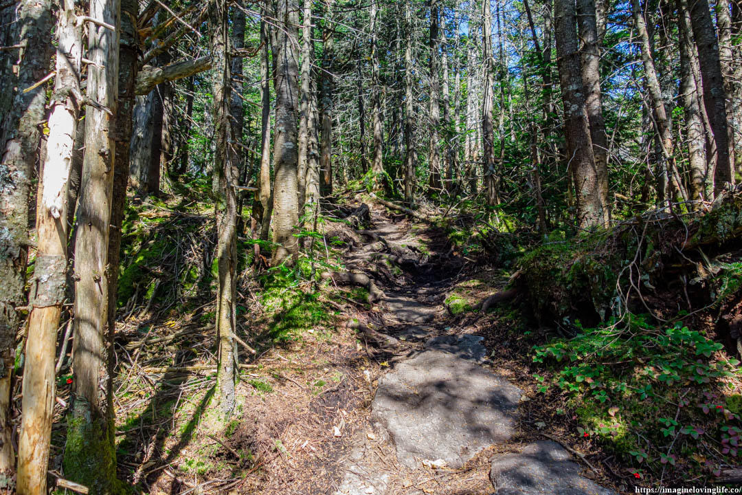
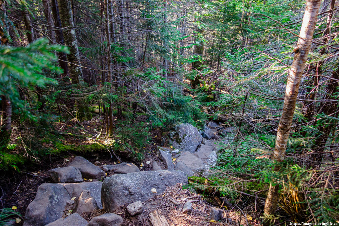
There were various trails going up the mountain as this place was unmarked and not maintained very well. I did my best to get up and make progress, tried my best to follow a trail made by erosion that looked safe and easy to traversed.
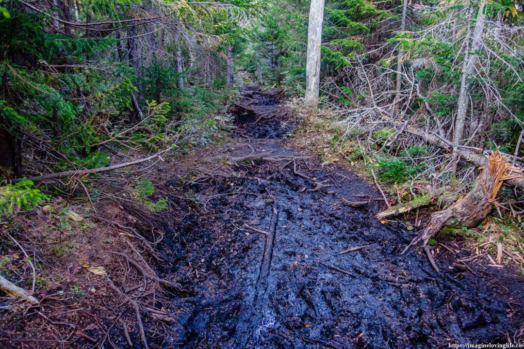
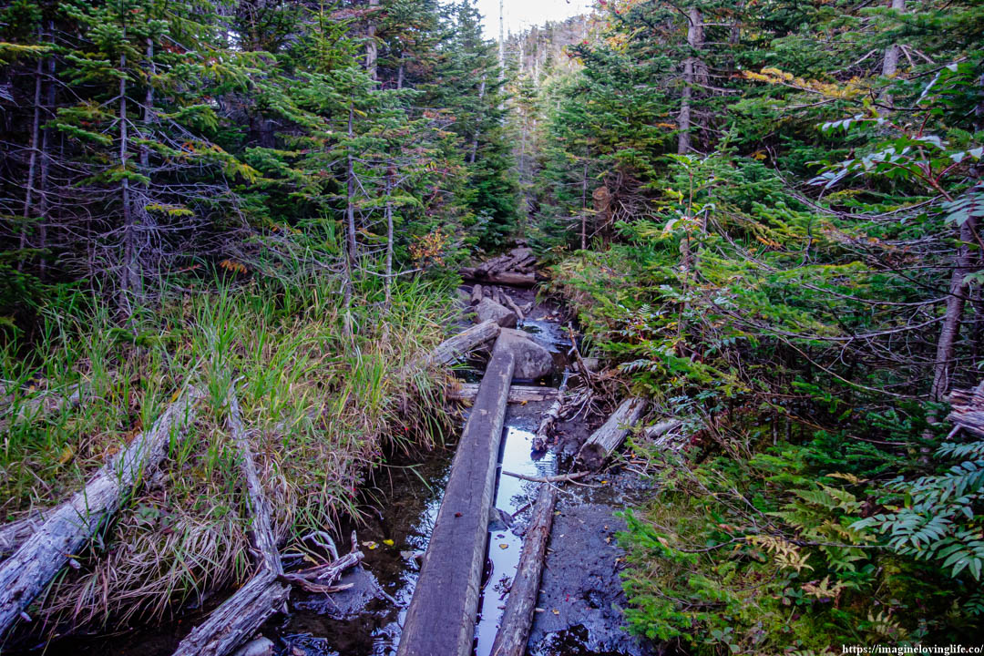
Muddy
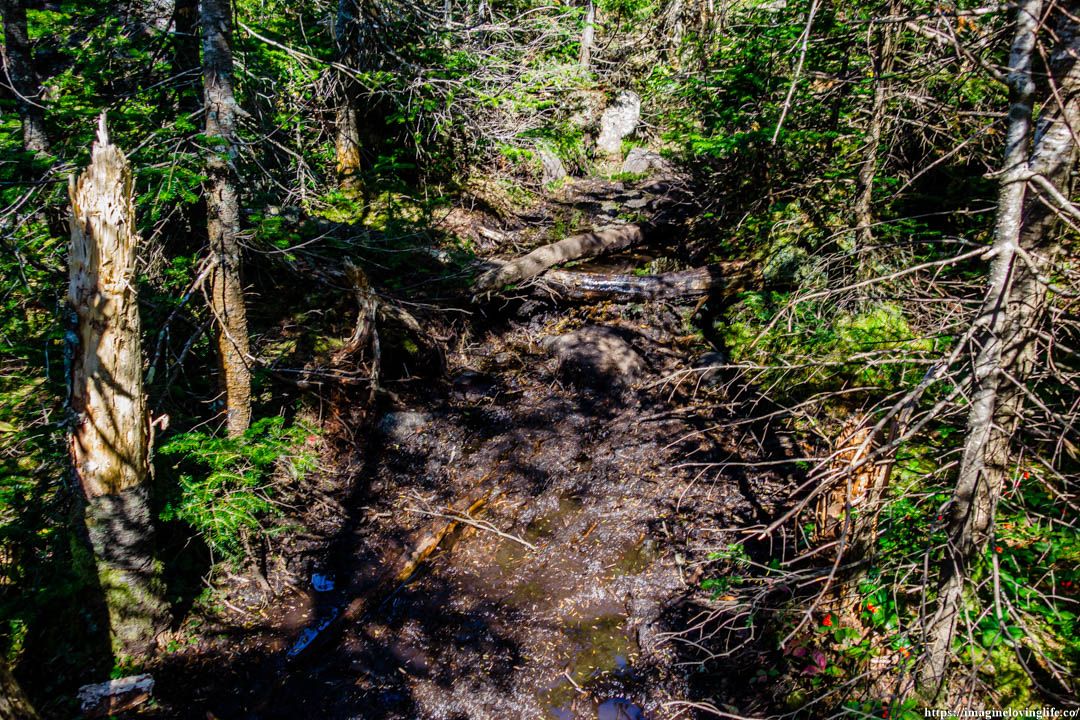
There was nothing friendly about this trail. There were parts of the footpath that accumulated water and there was no way to get around it but to go straight. I tried my best to hug the sides but it was of no use, there was no way to avoid the murky mud as the sides were filled with pointy branches that were very sharp.
Dangerous
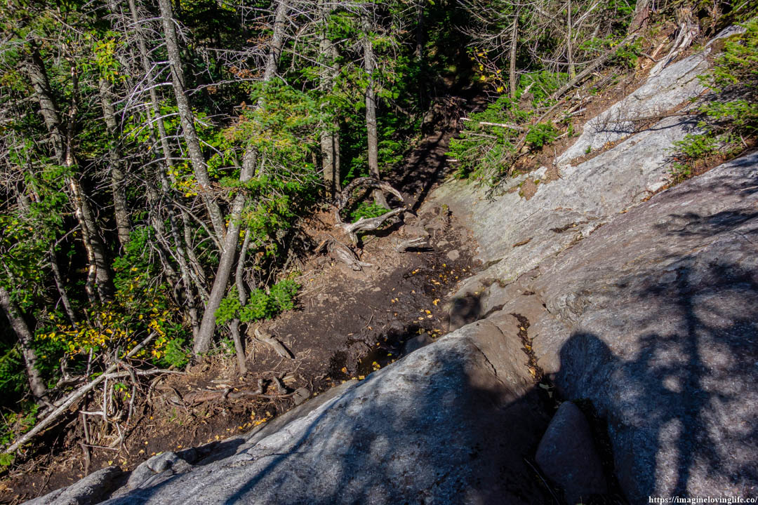
There was a dangerous part on this trail where the path led me to a vertical descent. It was too high to jumped down and I looked at both sides to see if there was an easier way but there was none. The right side was blocked by trees while the left side had this big dead log with pointy branches at the bottom.
I went back to the original place where I used to be. I took out my camera from my backpack and threw my backpack down as lightly as possible. I sat, turned around and grabbed the edges with both of my hands. I then proceeded to lower my legs and body with my hands supporting me. The moment I lowered my body to the fullest I could do, I let go of my hands so that I would fall down to the ground.
Untamed And Wild
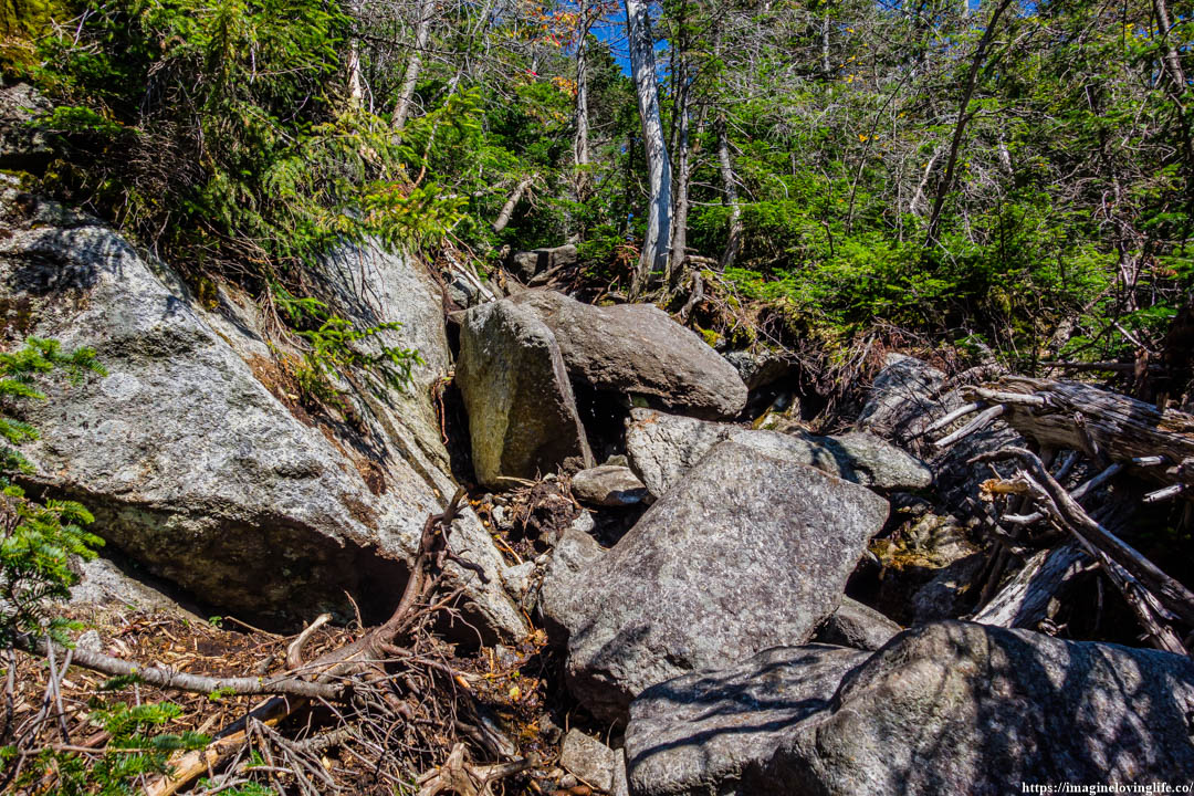
I stepped on top of a stone as it wiggled and shifted around. It was loose and I could have fallen down if I didn’t balance myself properly. In between the rocks were dead branches, fallen twigs, logs, and other sharp pointy things. This place was very dangerous but I tried my best to make progress while also thinking about my safety as much as possible.
Slippery
This was supposed to be a short hike upwards, maybe around half a mile or less but the trail was so unforgiving that I used up so much of my energy. The footpath was wet, slippery and and it was steep. I hugged the sides, grabbing anything I could to get myself to the top.
This part of the trail was such a pain to descend as well. I had to grab the branches on the side and made sure that I would land on a rock if ever I slipped or if gravity surges my body downwards. It was not a fun trail at all.
Gray Peak Sign
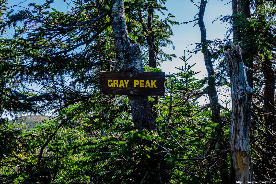
My smile went from ear to ear the moment I saw the Gray Peak sign.
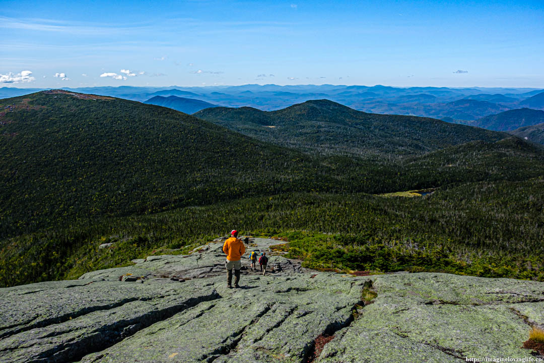
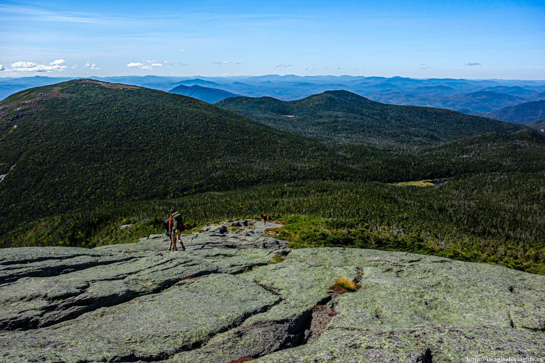
Gray Peak Lookout
Gray Peak Views
Going Back Down To Lake Arnold Trail
Going back down from Gray Peak was a little bit easier than ascending it but it also took a lot of my energy. The next trail was to descend to the Lake Arnold Trail.
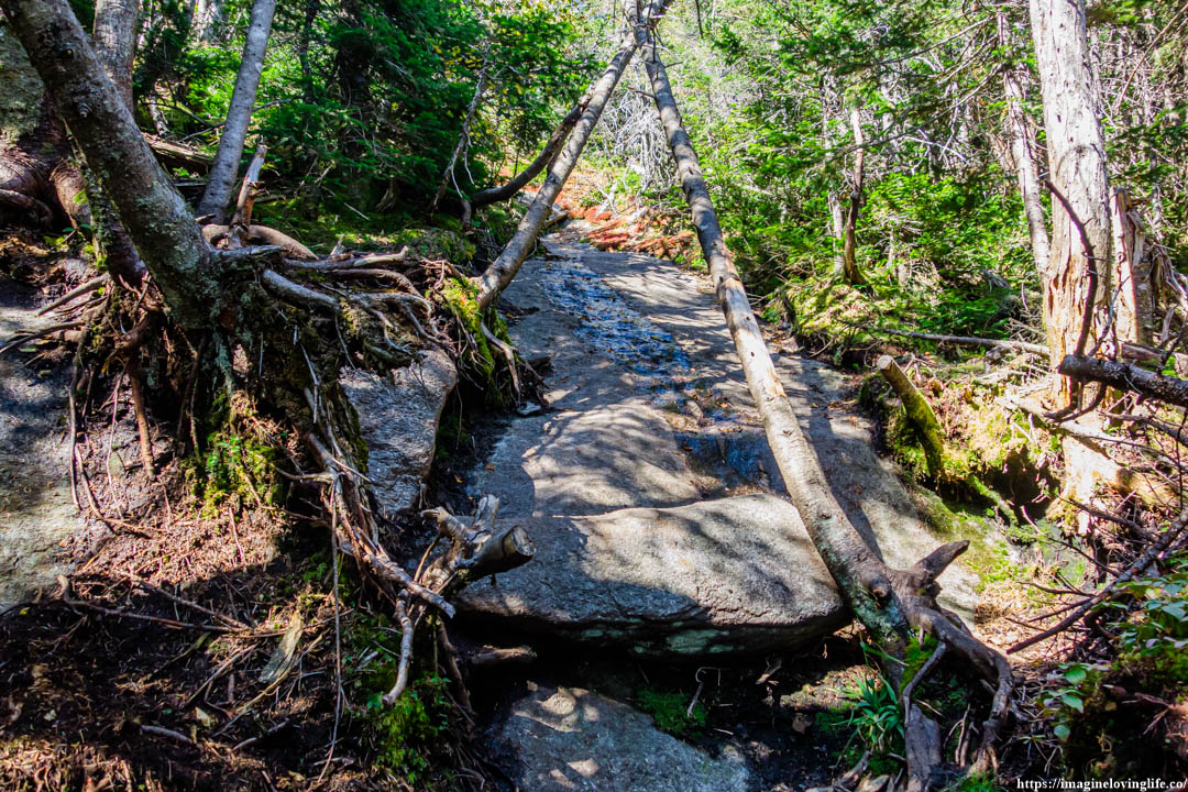
The trail going to Lake Arnold was a lot easier as it was very well-maintained with various rocks and boulders along the way. Very similar to the Van Hoevenberg Trail that was going up to Mount Marcy.
Trail Going To Lake Arnold Trail
Intersection
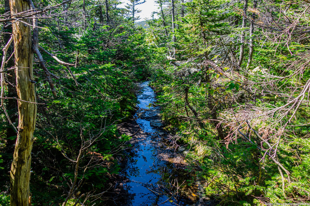
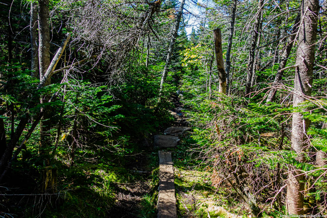
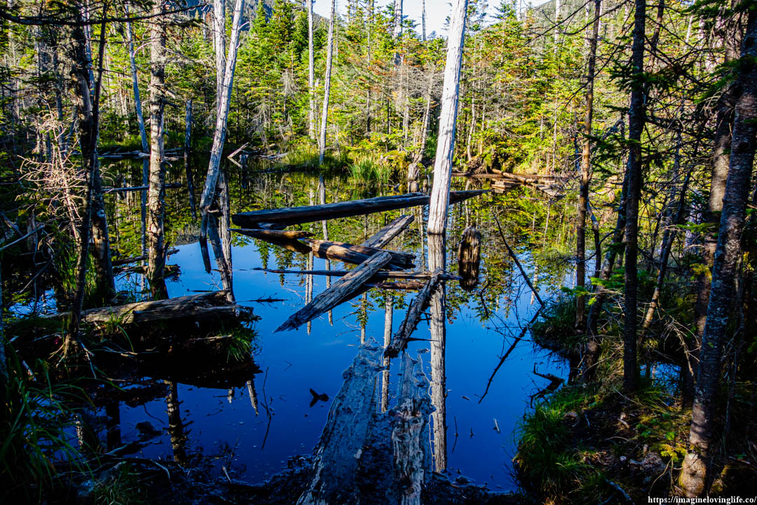
Lake Arnold Trail
Lake Arnold Trail
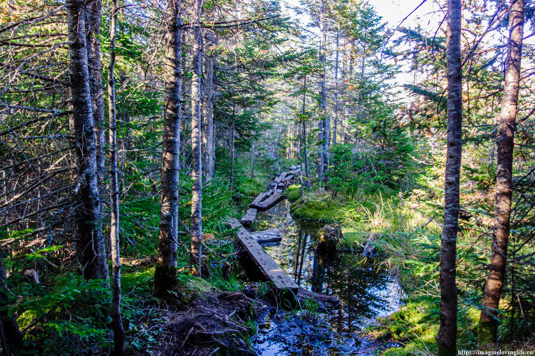
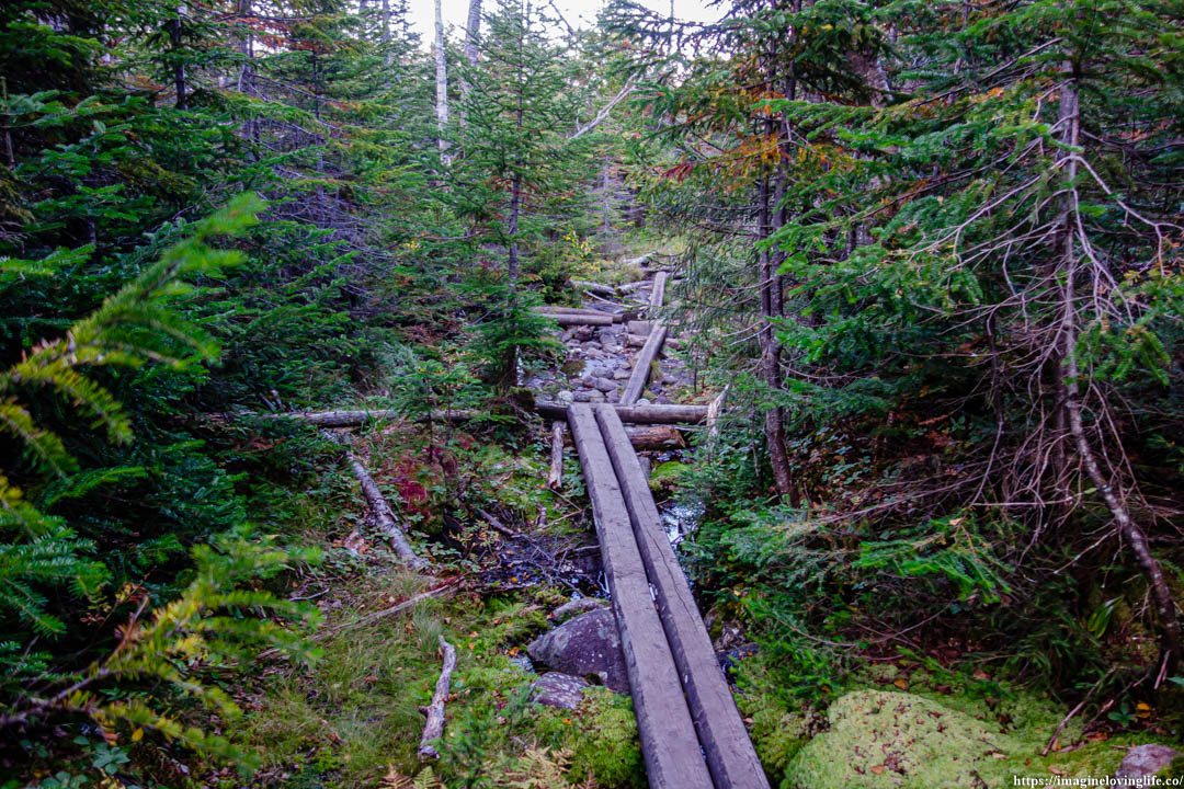
Planks Destroyed
Lake Arnold Trail Going Up
I let out a deep sigh as I came face to face with an ascending trail. It was one of those annoying footpaths where it will send you on a descent downward then take you on an ascent again. There was no time to complain, I kept moving and kept going on, trying to reach the parking lot before night falls.
Lake Arnold Trail
Lake Arnold Trail Going Up
More going upwards.
Lake Arnold Trail
Intersection
Lake Arnold Trail
Lake Arnold Trail
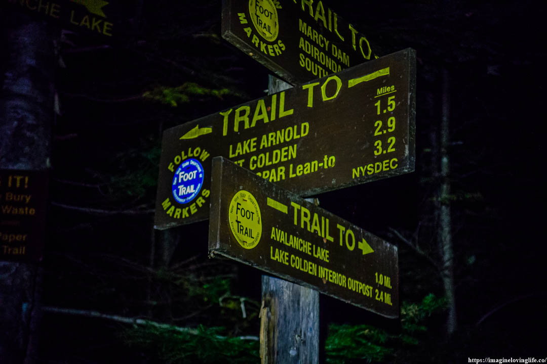
Intersection
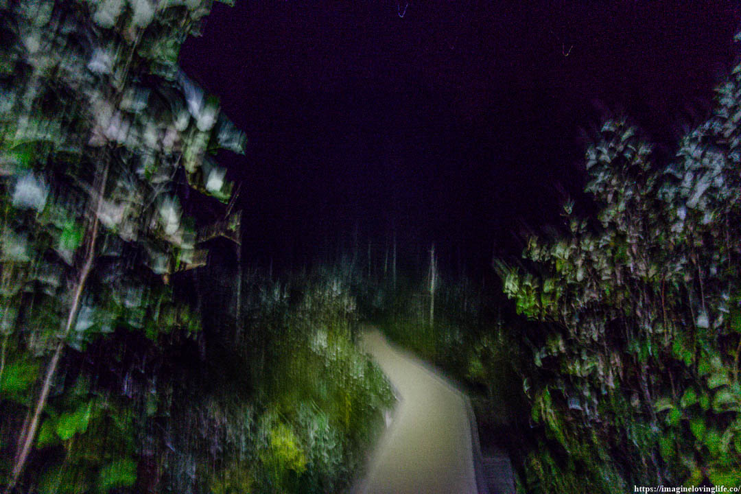
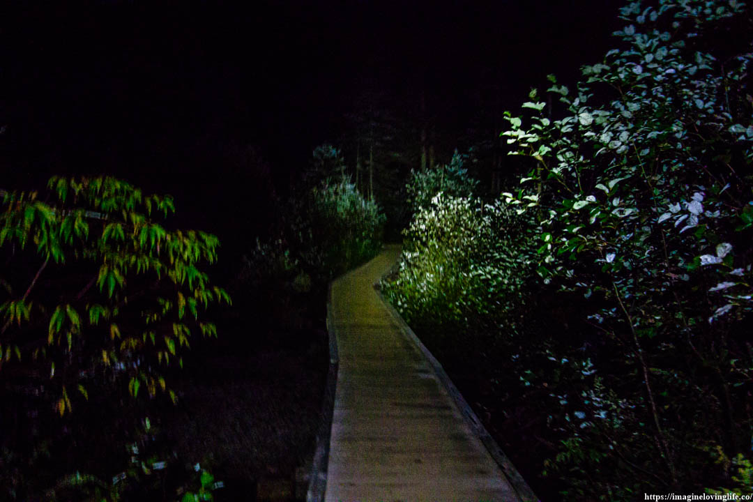
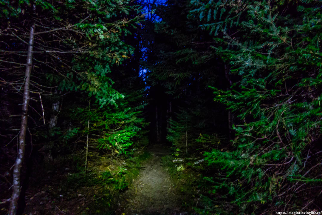
Intersection At Night
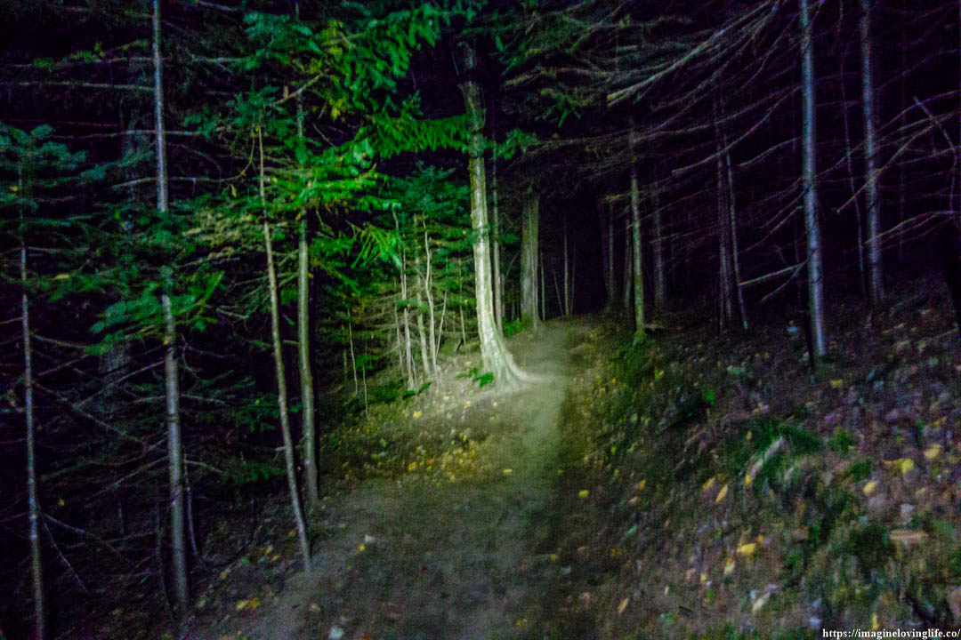
Van Hoevenberg Trail
Van Hoevenberg Trail
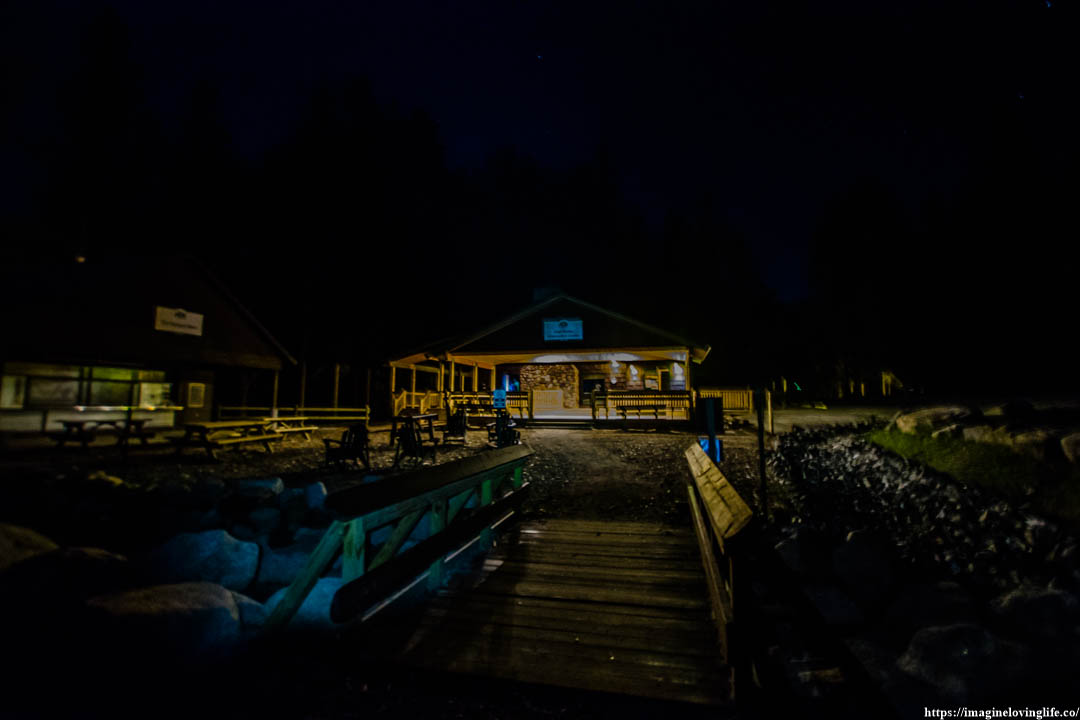
End Of The Hike