Western Devil’s Path is not as difficult as the Eastern Devil’s Path but this hike is still very tough due to the length and elevation gain. This is definitely not for beginners and I do not recommend this for people who are new to hiking. This is a great hike for people who loves a challenge and a workout though as the hike is very long and the elevation gain is high. Not a lot of viewpoints but still a very good hike. People will need two cars as the starting and ending points of this hike are in different places.
Western Devil’s Path Important Information
Trail Map: Trail Map 1, Trail Map 2
Suggested Phone GPS Apps: Alltrails.com, Avenza Maps, Google Maps
Difficulty: Very Strenuous
Distance: ~12 Miles
Elevation Gained: 3333 ft
Portable Toilet At Parking: Campground With Toilet Near Trail head
Trail Breakdown
Red Trail To Lean-to – 2 miles
Diamond Notch Falls – 2 miles
Ascent To Buck Ridge Lookout – 2.5 miles
Westkill Mountain Summit – 0.3 miles
St. Annes Peak – 2 miles
Descent To Sign – 1 mile
To Parking Lot – 1.5 miles
https://www.mapmyhike.com/workout/2396520098
Note: The information is just an approximation.
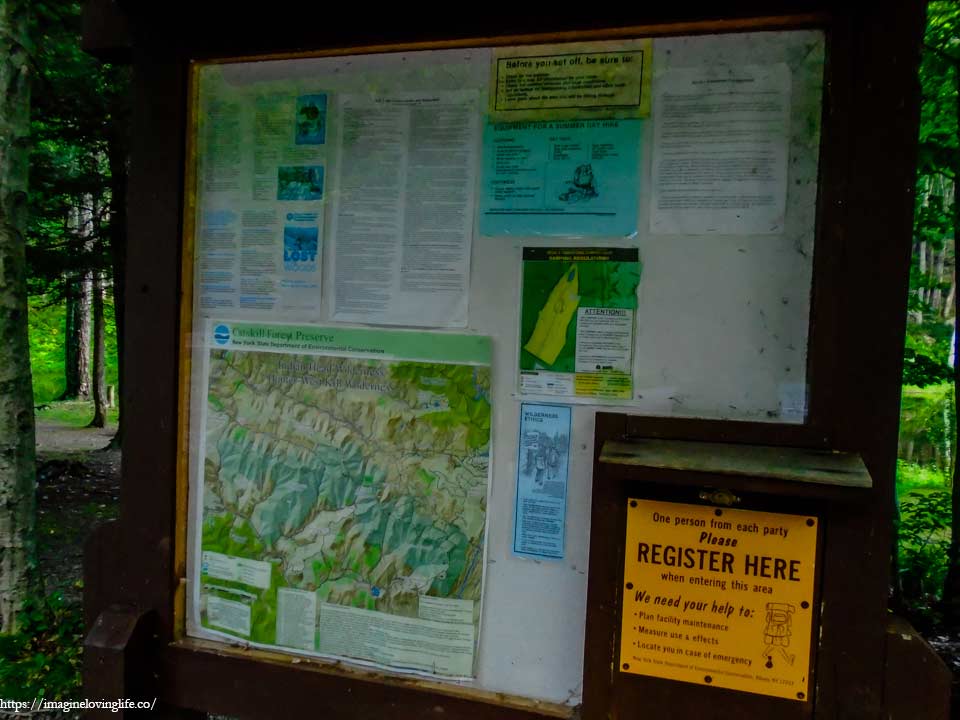
Parking
Start Of The Hike
You may asked what kind of motivation would someone need to go through such a grueling hike for two days straight? Was it for accomplishments? For a trophy? For the experience? For bragging rights? I wouldn’t know the answer. There was just something inside of me that wanted to hike and wanted to be with nature. My right leg was partially healed and was still injured but still, I wanted to hike and finish what I started. It was unexplainable. Like the morning after the night, it was just inevitable that I do this hike called the Devil’s path.
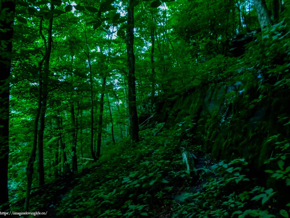
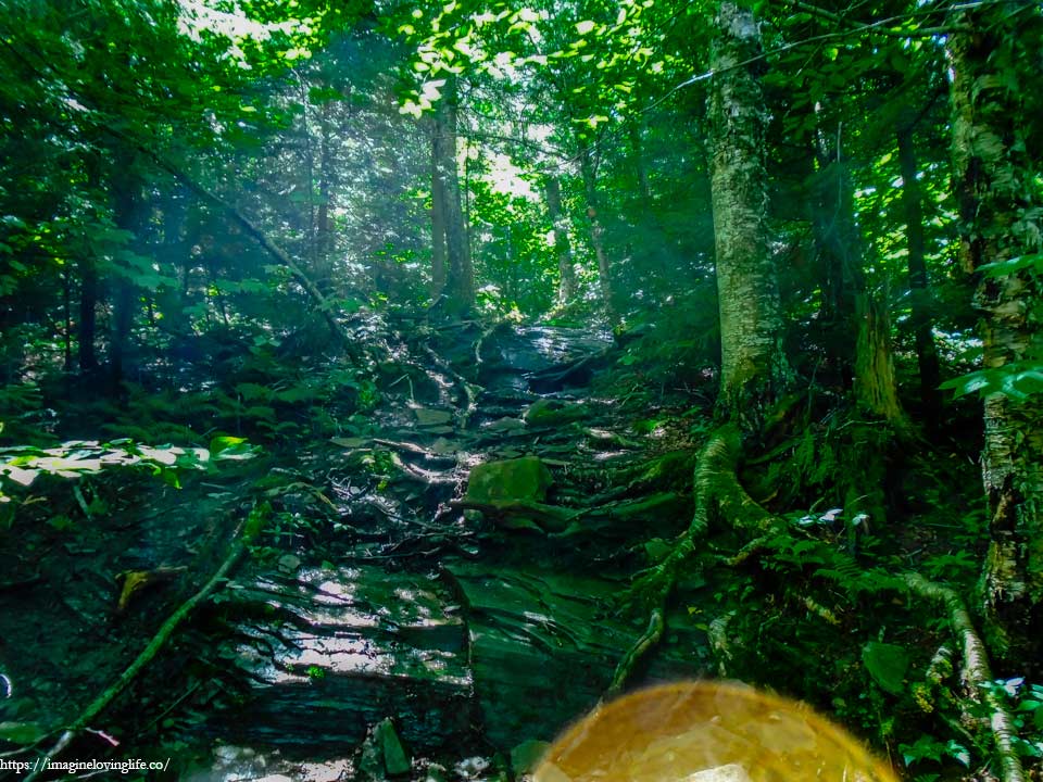
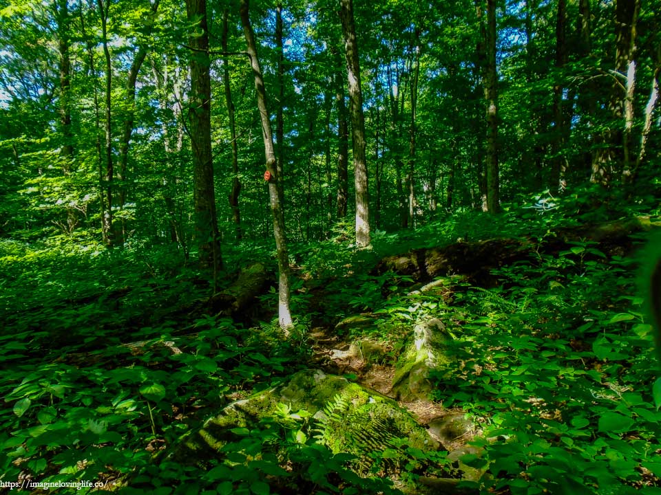
Devil’s Path – Red Trail
The morning was like any other morning in June, very sunny with very little chance of rain. The fog that followed us yesterday was gone, there wasn’t even a hint or sign that it ever existed. I was very grateful that it disappeared as I didn’t want any slippery descents nor ascents that I’ve experienced yesterday especially now that I was slightly injured.
Red Trail Going Up
Difficult and steep, the narrow footpath kept climbing up the mountain without a hint of ending. I had a good night sleep with lots of energy to spare but the back of my right knee was hurting a little bit. I overused my legs yesterday and today, I was paying the price. I walked ever so slowly upwards, trying not to injure myself and saving every little bit of energy as I tackled this monstrous and lengthy trail. My hiking buddy was way ahead of me but I could no longer catch up to him as I may have overworked my knee and such an action as normal as increasing my pace may cause an injury.
Red Trail Ascending
The trail was somewhat friendly with multiple switchbacks to help hikers get to the top of the mountain. There was a part of me that wished that the footpath was just straight upwards in order to conserve energy and time but at the same time, I was glad that I could walk slowly and easily get up the mountain. The cool morning air was soothing to the skin and I was glad that the weather wasn’t very hot on this summer day.
Red Trail

My wish was granted as the footpath became very steep as we got closer to the top of the mountain. The exhaustion I felt was overwhelming as I tried to get up as fast as I could in order to catch up to my hiking buddy. My breath became heavy with sweat gushing out my body as I felt my clothes being drenched and getting heavier. I took off my jacket, put it inside my backpack and forced myself to go upwards in order to not inconvenience my friend.
Lean-To
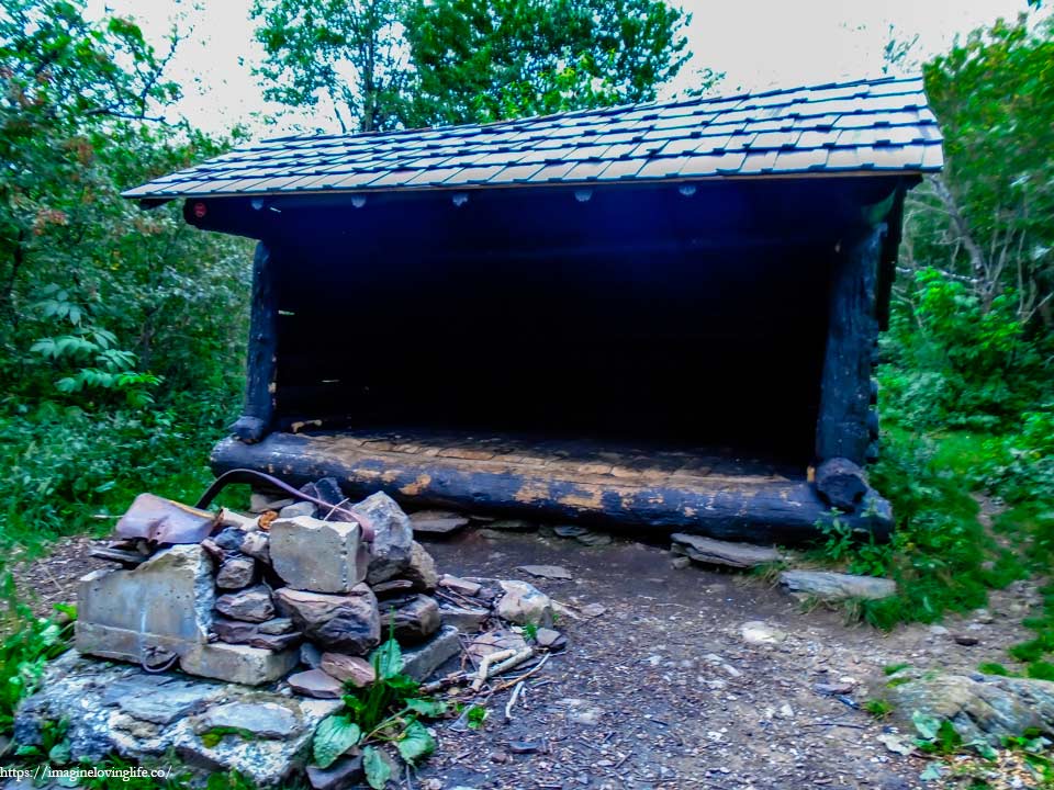
Lean-to at the trail. This is a lean-to near the hunter mountain fire tower. I didn’t want to hike more miles but there are people who would go to the fire tower before hiking the whole western devil’s path.
Red Trail
The trail became flat for some time which gave me some time to walk without spending a lot of my energy. This was the first time I had hiked more than 10+ miles in two days straight and seeing a flat terrain rather than an ascending one was like music to my ears or a painting created by a master to my eyes. I tried my best to enjoy the trail and my time on this hiking experience but my right leg was bugging me a little bit as such I just wanted to keep hiking and conquer this beast as soon as possible.
Red Trail
The downward descent proved to be rather taxing to my injured leg but I still kept moving. As long as I put my left leg first, most of the weight was alleviated from my right leg. There were a few hikers that were hiking along side me and passed me by rather easily. I was very slow and that was okay since my hiking buddy was rather understanding and we had plenty of time to finish the hike.
Viewpoint
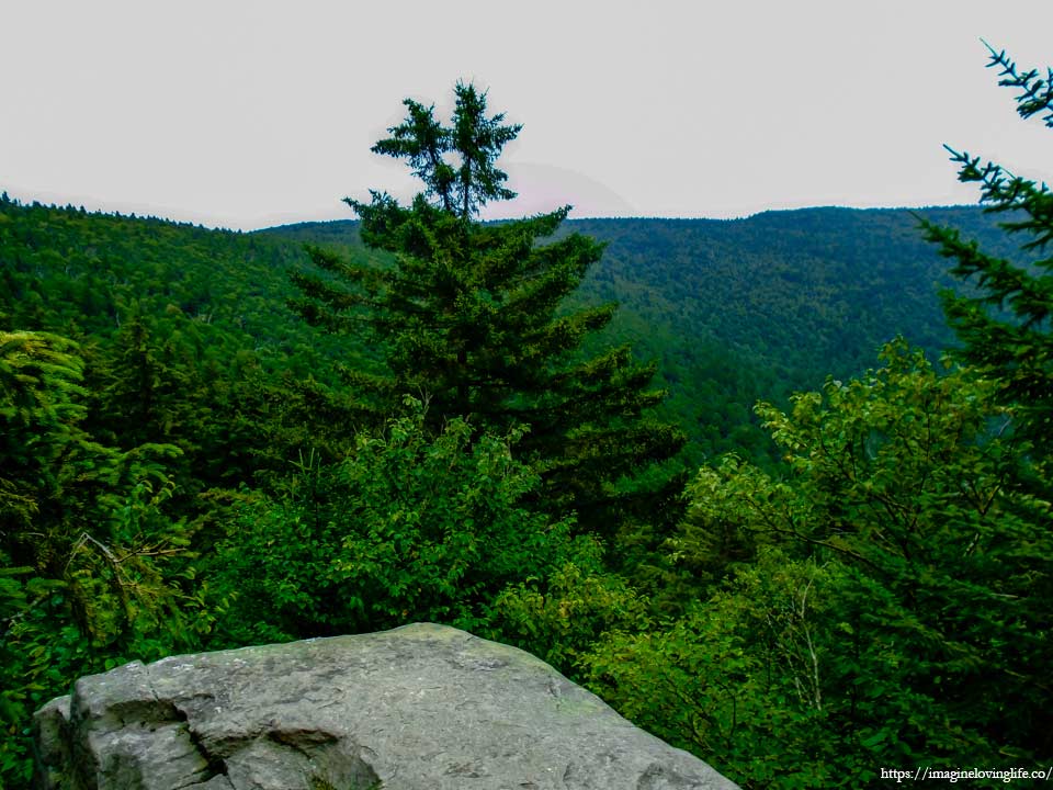
There is a small viewpoint but it was mostly blocked by trees.
Red Trail
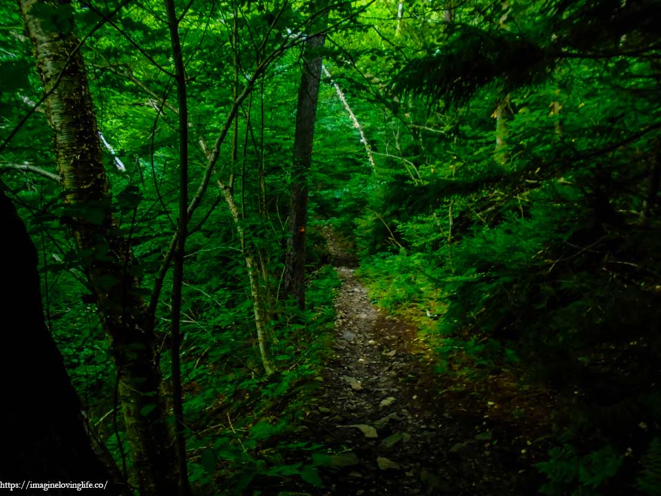
My body breathing heavily as I made my descent. I didn’t know I could get really tired on a downward slope. These types of slopes used to be so easy but since I was protecting my leg, I had to use up more energy going down. There was nothing peculiar with the trail as it was just a narrow downward footpath that would had been rather easy if I was at my perfect condition.
Blue And Red Intersection
At the bottom was the red and blue intersection.
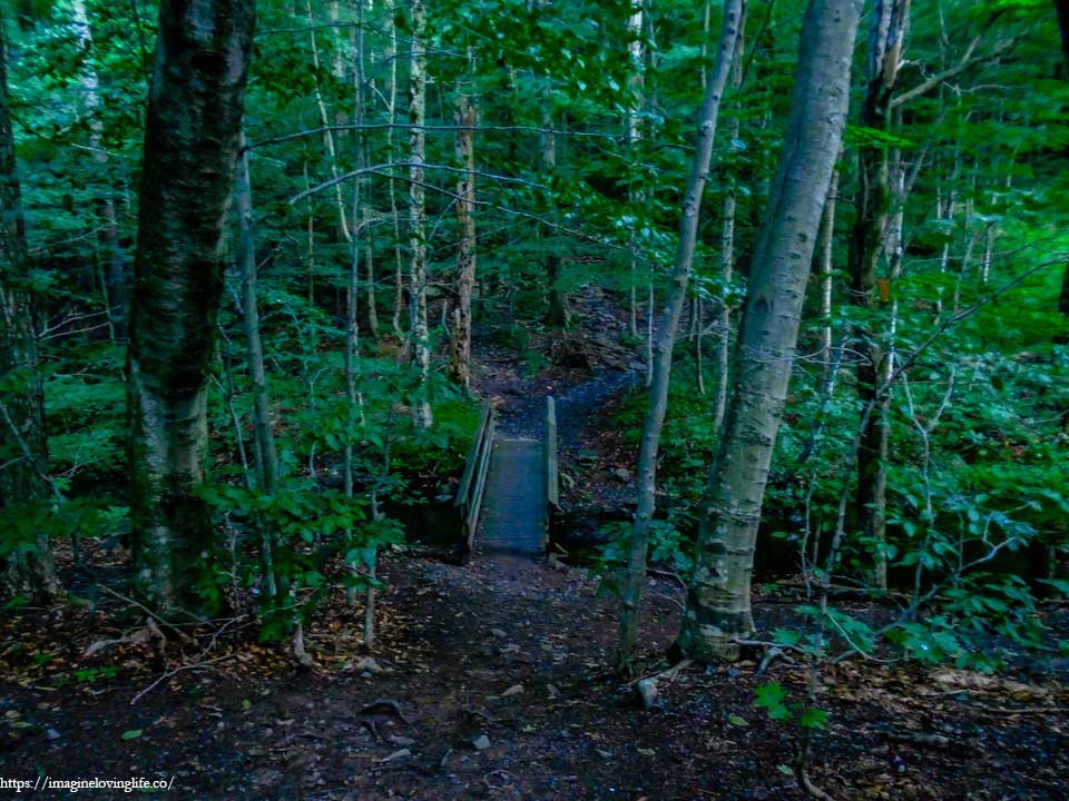
Bridge
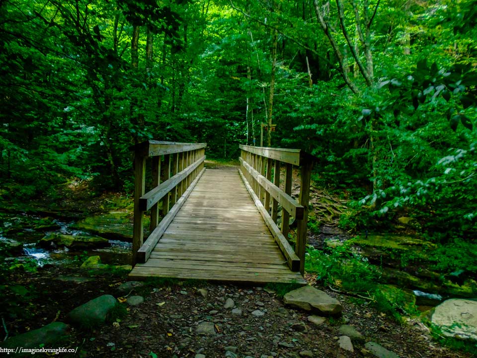
This bridge was next to the sign.
Waterfall
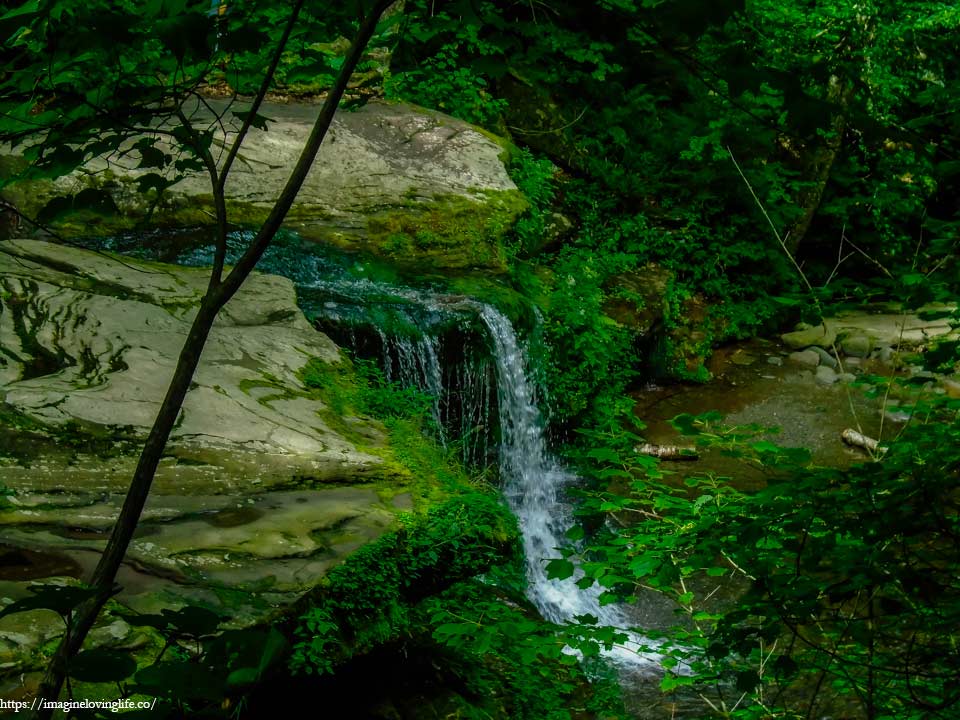
There was a waterfall nearby for people who need to drink water and brought their own water filter.
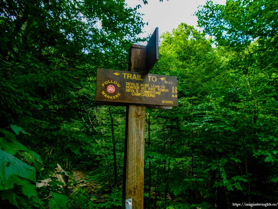
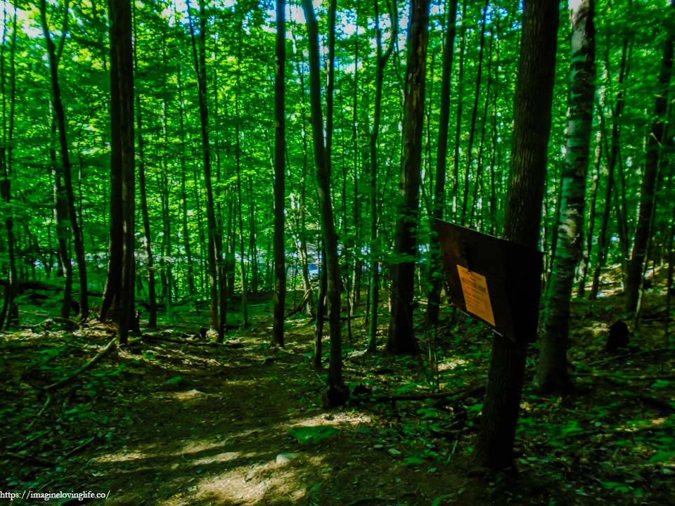
Buck Ridge Sign
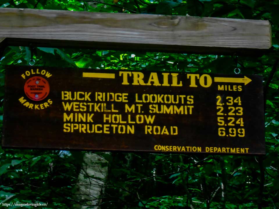
After crossing the bridge, the sign that would lead us to buck ridge lookout and west kill mountain appeared.
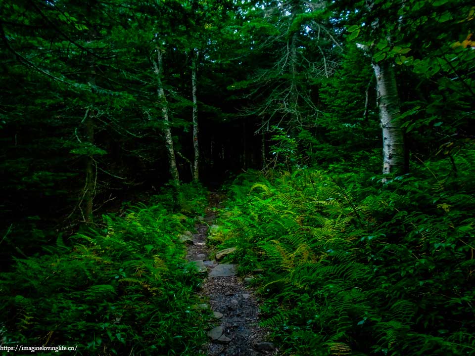
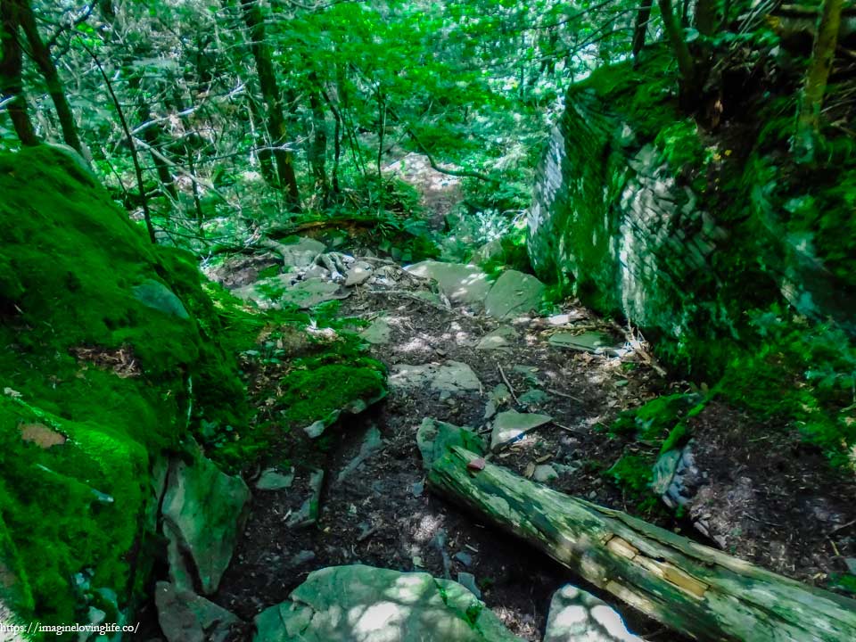
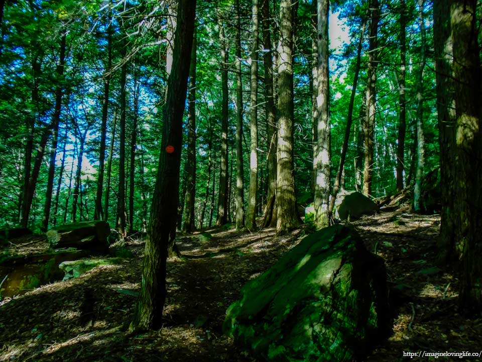
Devil’s Path Ascending
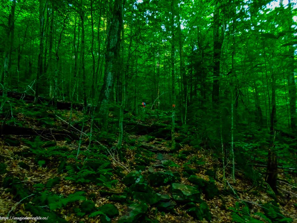
It was one of the most boring footpaths as there was nothing interesting, just a steep ascent to the top. There were no switchbacks, no views, just nothing. All we could do was keep moving upwards with the scenery being redundant over and over as time passed us by.
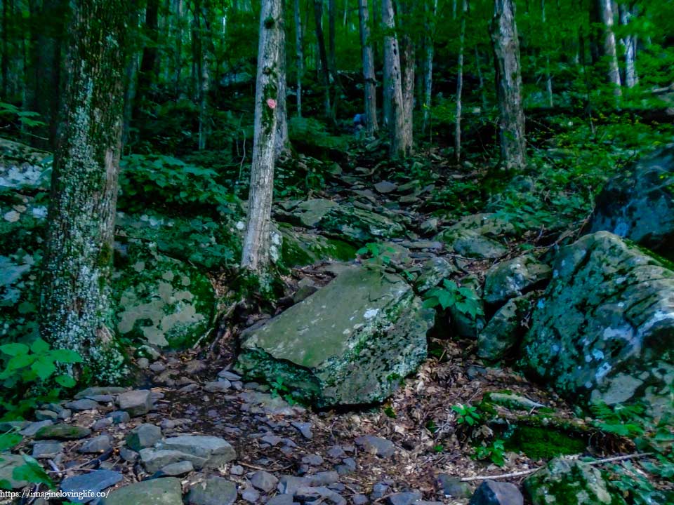
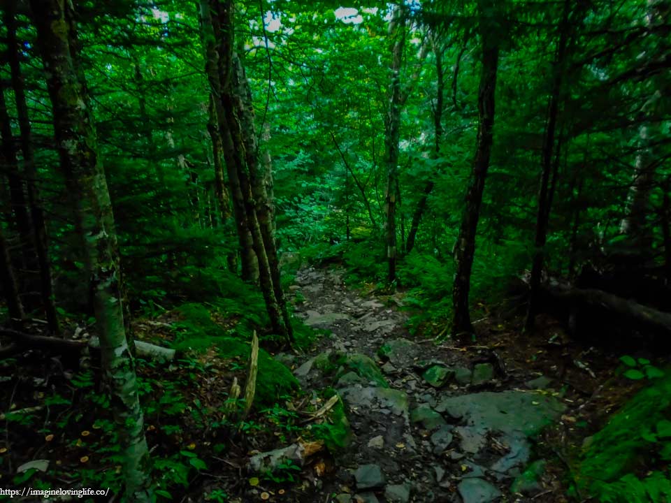
Red Trail Going Up
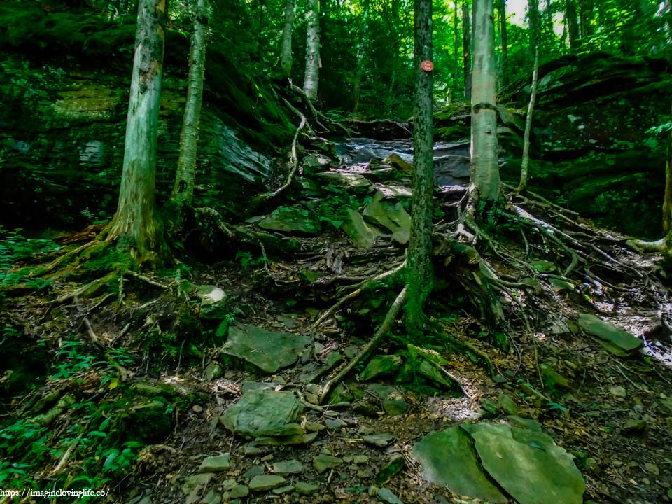
It was a steep footpath with plenty of rocks and boulders of different sizes scattered on the ground. There were a few rock scrambles but they were rather easy. The trail was easy to follow, a straight strenuous climb to the top with plenty of markers but they were rather far apart.
Devil’s Path Ascending
Various hikers passed me by as I was rather slow. They were fast and very agile as they took big steps upwards especially when compared to mine. I was like a turtle and they were like the hare in that timeless story. I couldn’t help it as the back of my knee was bothering me a little bit but that wasn’t the only reason. I was tired and exhausted already. Going up then going down then going up again killed a lot of my morale, heart or spirit and took away a lot of my energy.
3500 Foot Elevation Sign
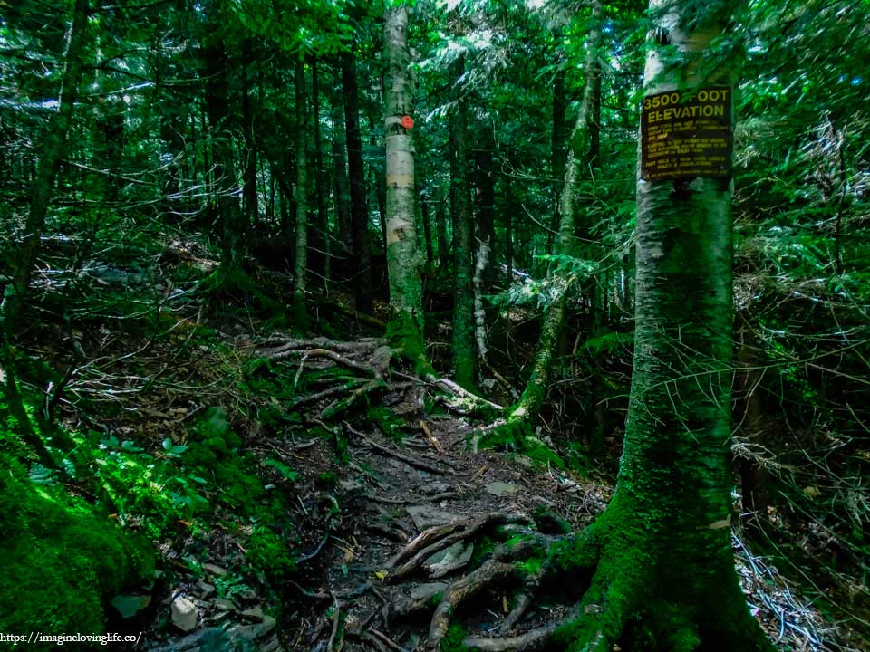
I came across the familiar 3500 foot elevation sign and it gave me a little bit of hope. I was close to the top with just a few more minutes of hiking upwards then the steep ascent would be over. If only I could reach the top, then the ascent of this hike will be over, the rest will be flat terrain or a downward descent. With enthusiasm and renewed energy, I moved a little bit faster, trying to get up as fast as I could.
Almost At The Top
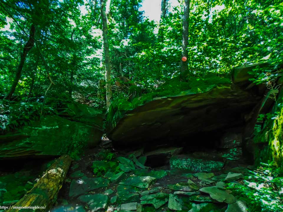
I found a peculiar rock formation near the top. It looked like a good place to sleep or camp but I didn’t think camping at this elevation was allowed. I was still a little bit careful as the rock formation looked like a great place for small animals like snakes to take shelter in.
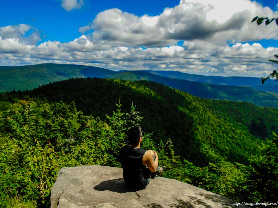
Buck Ridge Lookout
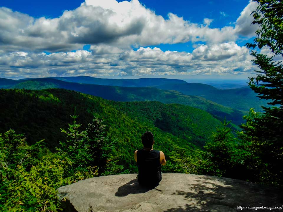
I sat on the ledge, resting for some time. We had been hiking non-stop and this was the only time that we rested. My hiking buddy was amazing and that he showed no sign of fatigue nor any sign of slowing down. I, on the other hand, was very tired already and a moment’s rest was very much appreciated by my body and my legs.
Buck Ridge
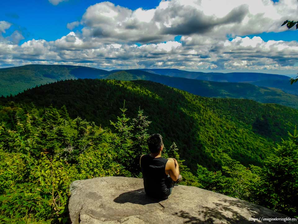
We stayed for a few minutes as we moved way too fast especially when compared to what we did at the Eastern Devil’s Path. We were already at the top and it was not yet even noon. We had time to rest as the ascents were already over and done with. I sat there just enjoying the wind, letting it take all of my fatigue so I could hike faster again.
West Kill Mountain Summit
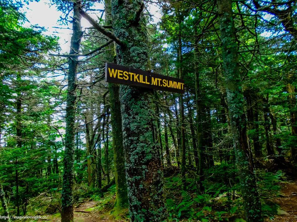
There was no viewpoint at the top of West Kill Mountain. I was just in the middle of a forest with no views whatsoever.
West Kill Mountain Summit Cairn
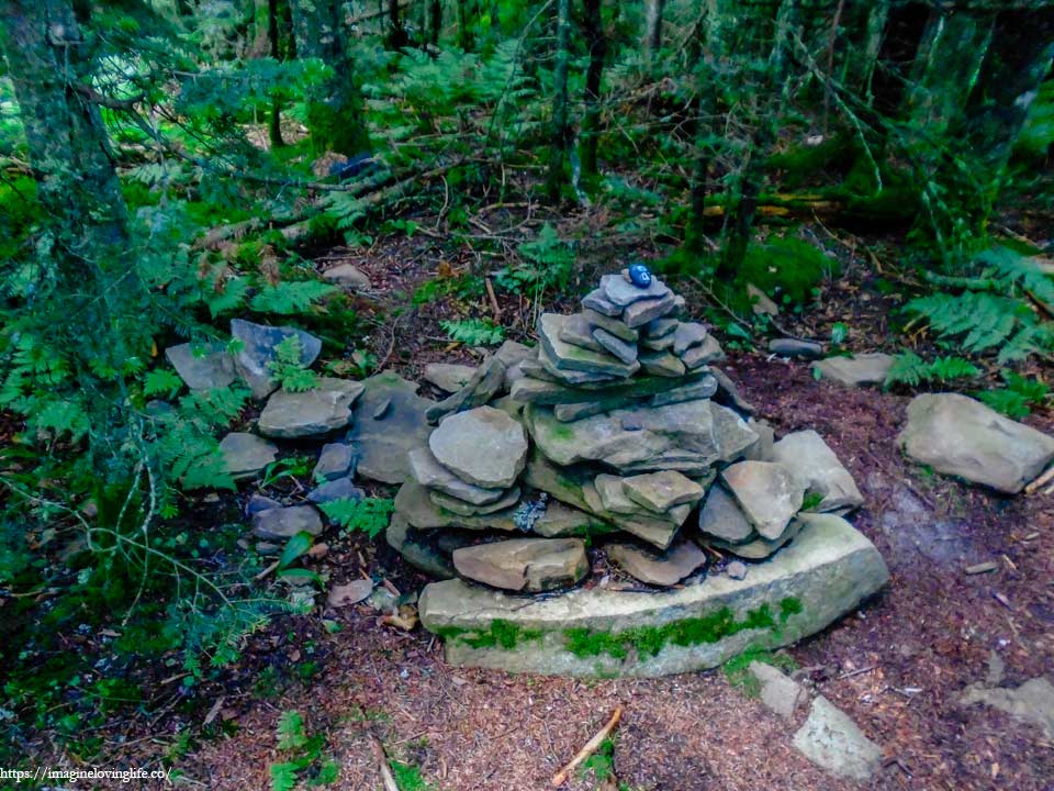
There was a cairn that signify that I was at the top as well which was unnecessary because there was a sign that said summit.
Red Trail Flat
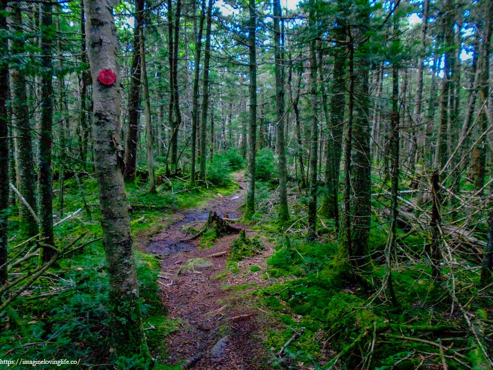
West Kill Mountain was very flat. It was flat for some time with very little elevation gain and it all started at Buck Ridge lookout. I was ecstatic and glad I could enjoy a flat ground as I was extremely tired already. My body was not used to hiking for two days straight and it was showing with heaviness of my breathing and the slow pace of my hiking.
Red Trail Descending
Nothing left to do but go down the mountain as I had been at the top already. There were no more elevation gains that needed to be done, all that was left to conquer this hike was to go down the mountain and get to the parking lot.
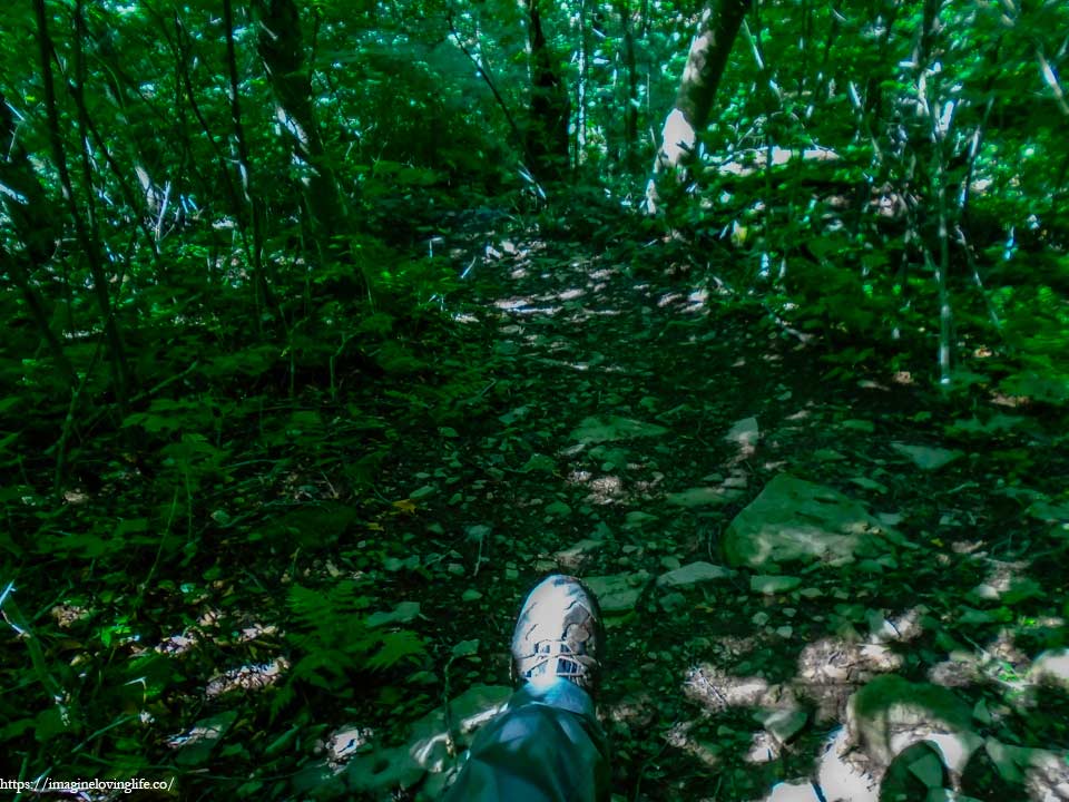
Going Down
The downward descent was rather easy and I didn’t encounter any rock scramble where I had to use my hands. All I needed to get down were my legs. The trail offered nothing fancy, just a normal footpath filled with small pebbles all the way to the bottom of the mountain.
Devil’s Path Descending
I looked at my watch and it was still noonish, we had plenty of time to finish the hike. I didn’t expect this hike to be rather easy especially when compared to the Eastern Devil’s Path. We were way ahead of schedule but that doesn’t mean I could take it easy. My hiking buddy was way ahead of me and I didn’t want him to wait too long for me. I picked up the pace a little bit knowing that the hard parts were over and as such, I didn’t need to conserve my energy anymore.
1.5 Miles Left
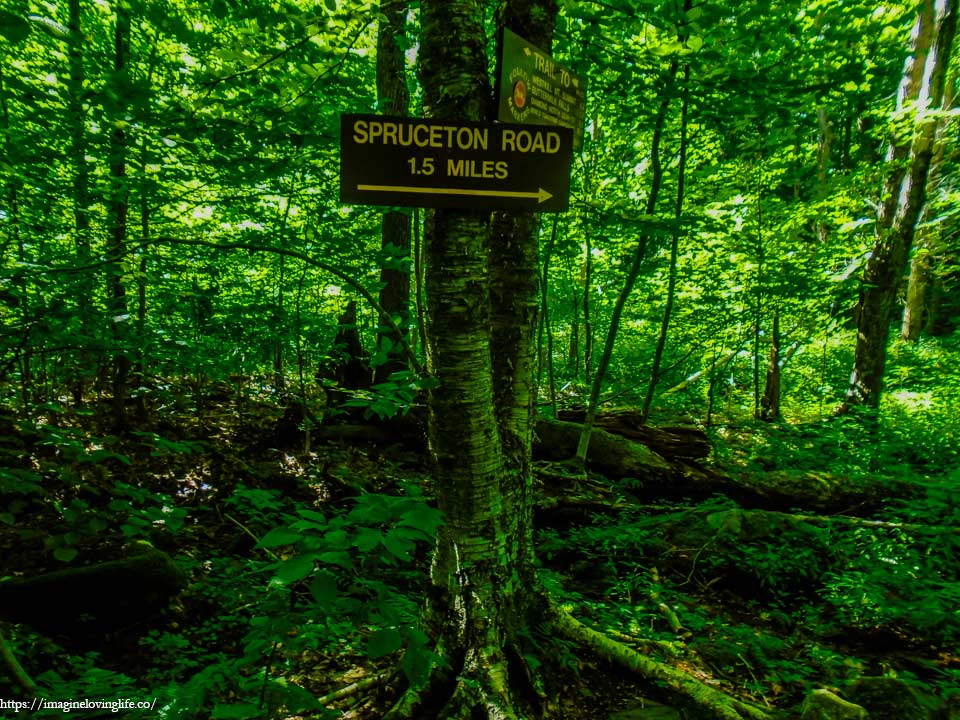
At the bottom of the mountain, a sign dictates that I only need 1.5 more miles to go to finish the hike.
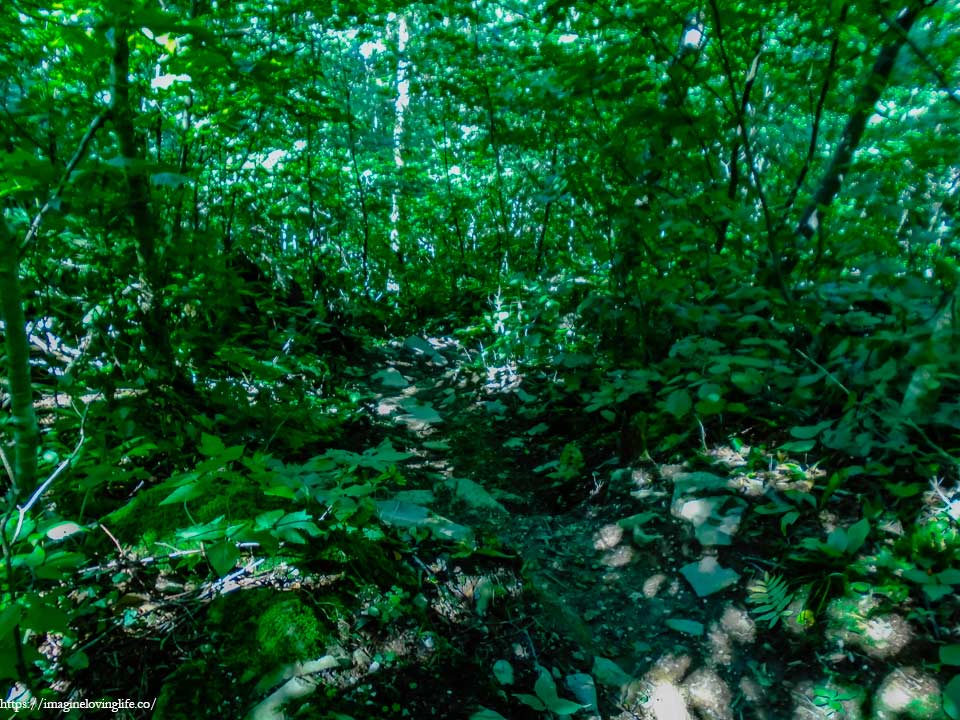
Flat Terrain
It was a trail filled with wild shrubs and wild grasses, out of which a narrow snake like footpath goes on and on with red markers every now and then to lead hikers were to go. I walked effortless on the footpath, barely losing any energy as the terrain was rather easy and there were no obstacles to deal with. The trail was well maintained and seemed popular as I met various hikers on the path. Perhaps they go up to West Kill Mountain then down again just for exercise.
Almost Done
The end of the hike was near as I got to the part where the grasses and shrubs disappeared. All that was left were tall trees and brown soil everywhere I looked. Perhaps the soil here was contaminated with something that kills weeds, grass and other types of plants as the terrain looked rather devoid of life compared to the area I was in before.
End Of The Hike
The devil’s path was definitely a trail not to be underestimated with. It was a 25 mile hike that took us two days to complete and I even injured myself a little bit. I was just glad that we finished it and that western devil’s path wasn’t as hard as I thought it would. Nothing left to do but to go home.
The hike was awesome because it was hard and difficult plus I was able to do it. But there was one thing on my mind as I was driving home and that I could have done better. I could have exercised more and prepared more for this hike. However, I was still glad that I did it. Maybe one these days I will do this hike in one day. I will definitely try it someday.
For more hikes similar to this one, you can go to my Best Hikes In Catskill, New York page.
This is one hard trail. Thanks for the information!